Download
1 / 17
170 likes | 277 Views
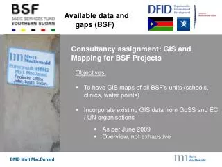
Consultancy assignment to create GIS maps of all BSF units and incorporate existing data for health, education, and water sectors. Identify data gaps and propose solutions for data sharing and harmonization within the organization.

E N D
Available data and gaps (BSF) Consultancy assignment: GIS and Mapping for BSF Projects • Objectives: • To have GIS maps of all BSF’s units (schools, clinics, water points) • Incorporate existing GIS data from GoSS and EC / UN organisations • As per June 2009 • Overview, not exhaustive
Available datasets: Health (1) • Health sector : • The national survey is still on-going, supervised by the Ministry and in collaboration with the Malaria consortium. • Five states have been surveyed, but data entry process is not completed yet.
Available datasets: Education (1) • Education sector • The EMIS system is functional, but no spatial reference was given to the school during their survey. • In parallel, the 2006 UNICEF database is available, with location of schools. • No plan to link up both databases is yet set.
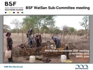
Available datasets: Water (1) • Water sector • The WASH database, released by UNICEF, is updated by MWRI’s Information System Service.
Data gaps (1) • Administrative: • Administrative boundaries of payams and bomas is not well defined: • Payams boundaries layer is not reliable, boma boundaries layer is not available. • 5th Census: • Census data on demography not yet out; • No clear deadline is set for the release of the Census products.
Data gaps (2) • Health: • Survey data only available for North Bahr el Ghazal state (June 09) • Metadata (database information on context, content, structure): • information is missing or very poor • New initiative of D. Oremo and UN OCHA.
Constraints • No data sharing policy: in general no policy has been set at the Ministry and public institution level, which makes it difficult to officially access soft copies of institutional databases. • No harmonization of overlapping datasets • No central updates • Lack of regular data collection
Brainstorming • Are maps used for planning in your organisation?
Sharing of information: who is doing what and where? • Datasets available with BSF : • BSF funded health facilities (spatial) • BSF funded water points (spatial) • BSF funded primary schools (spatial) • Derived map products : • Health Facility State Map BSF_Health_facilities_NBeG_A1_final.jpg • Water Point - State MapBSF_Waterpoints_NBeG_A1.jpg • Primary Education - State Map BSF_Primary_education_NBeG_fformatA1.jpg • National maps
Sharing of information: Presentations 5 – 10 minutes • Mandate/ Rationale in GIS sector of the organization • Mapping activities • Data generate/ use/ available
Recapitulation • There is an overlap in mapping activities. For example in basic services: MWRI database, UNICEF, CMRA, SNV, BSF. Other example flood risk mapping: CMRA, UNJLC, MWRI. • Institutions use different base layers which makes data sharing more difficult. • Data sharing is possible, however structure not clear, therefore coordination is needed – UNOCHA and SSCCSE are mentioned. • There are no protocols for updating and regular supply of new data by implementing agencies to ministries • The way forward