Download
1 / 8
80 likes | 196 Views
The NRCS emphasizes maintaining soil survey data by geographic areas for enhanced reliability and consistency. The MLRA project aims to standardize soil survey maps, interpretations, and data for better analysis and GIS integration, focusing on areas with similar resources. The National Soil Survey Handbook guides the NRCS in updating soil surveys using MLRA principles, disregarding political boundaries. Explore MLRA Concept in Washington for impactful soil management.

E N D
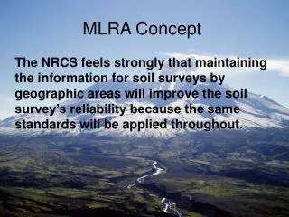
MLRA Concept The NRCS feels strongly that maintaining the information for soil surveys by geographic areas will improve the soil survey’s reliability because the same standards will be applied throughout.
MLRA Concept • The major thrust of the MLRA project soil survey will be to bring maps, interpretations, mapunit and soil series composition to a common standard.
MLRA Concept • Improvement of the soil information for analysis, program application, and automated GIS data bases is the goal for areas that have similar resources (land use, water, soil, and plants)
MLRA Concept • The National Soil Survey Handbook outlines the basis, needs, and requirements for the NRCS to complete the update of soil surveys utilizing the MLRA concepts. • This is basically to complete soil surveys on geographically similar areas regardless of political boundaries (county or state).