Download
1 / 15
150 likes | 165 Views
This study explores improved mesoscale forecasts by integrating high-res soil data with WRF, focusing on land-atmosphere interactions for better weather predictions.

E N D
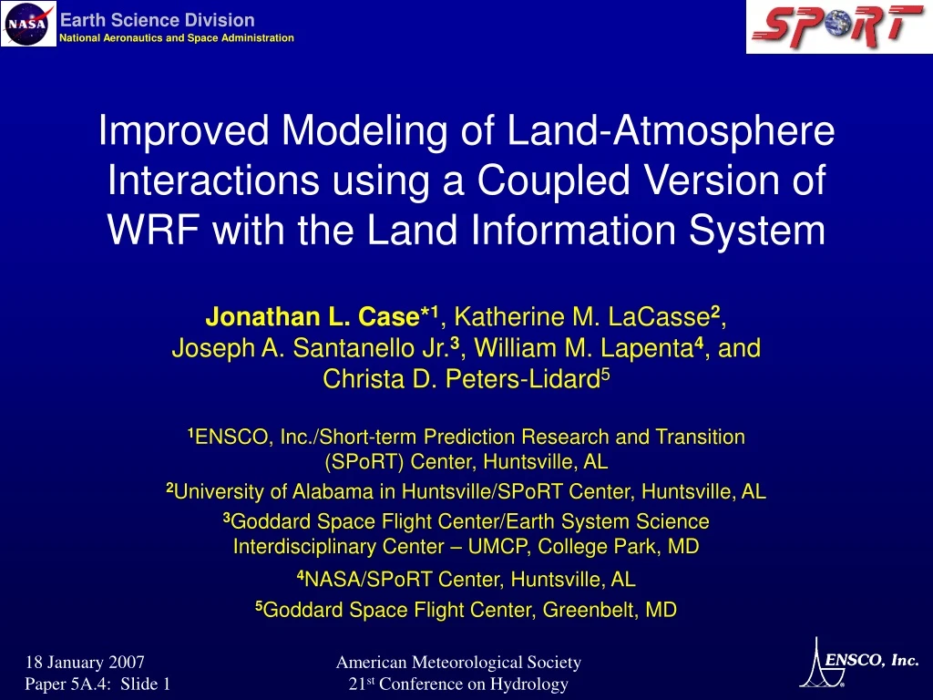
Improved Modeling of Land-Atmosphere Interactions using a Coupled Version of WRF with the Land Information System Jonathan L. Case*1, Katherine M. LaCasse2, Joseph A. Santanello Jr.3, William M. Lapenta4, and Christa D. Peters-Lidard5 1ENSCO, Inc./Short-term Prediction Research and Transition (SPoRT) Center, Huntsville, AL 2University of Alabama in Huntsville/SPoRT Center, Huntsville, AL 3Goddard Space Flight Center/Earth System Science Interdisciplinary Center – UMCP, College Park, MD 4NASA/SPoRT Center, Huntsville, AL 5Goddard Space Flight Center, Greenbelt, MD American Meteorological Society 21st Conference on Hydrology
Presentation Outline • Motivation and project goals • Background • Benefits of coupling • Methodology / experiment design • Results • Spin-up runs over Florida for May 2004 • Preliminary coupled runs • Summary / Future Work American Meteorological Society 21st Conference on Hydrology
Motivation and Project Goals • Hypothesis: Can short-term mesoscale numerical forecasts of sensible weather elements be improved by using optimally-tuned, high-resolution soil fields? • Project Goals: Investigate and evaluate the potential benefits of using high-resolution land surface data derived from NASA systems and tools on regional short-term numerical guidance (024 hours) • Use Goddard’s Land Information System software coupled to the Weather Research and Forecasting (WRF) model • Examine one month period with relatively benign weather • Isolate influence of land-atmosphere interactions • Choose May 2004 over Florida peninsula American Meteorological Society 21st Conference on Hydrology
The Land Information System (LIS) • Software that runs multiple Land Surface Models (LSMs) efficiently using high-performance computing • Developed at Goddard Space Flight Center • LSMs: Noah, Community Land Model, SiB, VIC, Mosaic • Global, high-resolution datasets (down to 1 km) • User configurable features • “Spin-up” time for soil equilibrium • Input datasets • Atmospheric boundary conditions(i.e. forcings) • NASA 2005 Software of the Year Award American Meteorological Society 21st Conference on Hydrology
Coupled LIS-WRF Implementation • Offline LIS spin-up simulation on WRF grid • Run LIS for sufficient time to reach equilibrium state • LIS output at final time Input to WRF simulation • Soil temperature / moisture, snow cover, skin temperature, albedo, & canopy water • WRF atmospheric variables provide forcing to LIS • Surface air temperature, humidity, pressure, wind • Emiss., short/long-wave radiation, precip., & Sfc exchange coeff. • LIS provides land variables to WRF • LIS output variables listed above • Surface & ground fluxes, runoff American Meteorological Society 21st Conference on Hydrology
Coupling LIS to WRF: Benefits • Soil initialization consistent with WRF resolution • Capability to optimize surface & soil variables • Tune soil model spin-up time integration • Specify atmospheric forcings • Atmospheric reanalysis data • In-situ and/or remotely-sensed observations • Can run WRF with other LSMs available in LIS • Framework for introducing new land datasets • E.g. Satellite-derived fields from MODIS American Meteorological Society 21st Conference on Hydrology
LIS Spin-up Simulations using Noah • Integrate LSM long enough to reach soil state equilibrium • Atmospheric forcing from Global Data Assimilation System reanalyses • Multiple simulations of different integration length, all ending 1 May 2004 (2mo, 4mo, 6mo, 9mo, 12mo) • Examine difference fields between successive runs • Deep soil variables should converge to common value • 100200 cm soil moisture longest time to reach equilibrium • 129 mo differences negligible over most of domain American Meteorological Society 21st Conference on Hydrology
Control WRF & Coupled LIS-WRF Configuration • Common characteristics • Florida domain with 3-km grid spacing • Noah LSM • 24-hour forecasts initialized at 0000 UTC • Atmospheric initial & boundary conditions from NCEP 40-km Eta model • Differences • Control WRF • Soil moisture & temp initial conditions from 40-km Eta model • Forecasts from standard WRF • Coupled LIS-WRF: • Soil moisture & temp initial conditions from 3-km LIS spin-up run • Forecasts from coupled LIS-WRF American Meteorological Society 21st Conference on Hydrology
LIS-WRF more moist overmuch of domain LIS Control Initial 010 cm Soil Moisture Fields Control WRFusing 40-km Eta data Coupled LIS-WRF using 3-km LIS data American Meteorological Society 21st Conference on Hydrology
LIS Control Impacts on 2-m Temperature Forecasts Control WRFusing 40-km Eta data Coupled LIS-WRF using 3-km LIS data American Meteorological Society 21st Conference on Hydrology
LIS Control Impacts on 2-m Dewpoint Forecasts Control WRFusing 40-km Eta data Coupled LIS-WRF using 3-km LIS data American Meteorological Society 21st Conference on Hydrology
Summary & Future Work • Tested coupled LIS-WRF on Florida case • 9-mo spin-up for land initialization over Florida • Simulated atmosphere sensitive to changes in soil characteristics provided by LIS • Future work • Validate LIS soil temp & moisture fields where possible • Run control & LIS-WRF 24-h forecasts daily for May 2004 • Generate surface verification statistics • Examine impacts on convective initiation (NSSL project) • Include MODIS sea-surface temperatures over water American Meteorological Society 21st Conference on Hydrology
Backup Slides American Meteorological Society 21st Conference on Hydrology
Cross sections along FL East Coast(N S; Shuttle Landing Facility to Miami, 12z to 18z) Temperature Dewpoint American Meteorological Society 21st Conference on Hydrology
More moist Drier LIS Control Initial 100200 cm Soil Moisture Control WRFusing 40-km Eta data Coupled LIS-WRF using 3-km LIS data American Meteorological Society 21st Conference on Hydrology