Download
1 / 15
150 likes | 292 Views
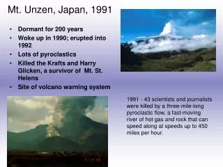
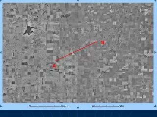
B. A. B. A. How would you show Mt. St. Helens on a map?. Topographic Map!. What is a topographic map?. These maps describe the shape of the land. They define and locate natural and man-made features. Topographic maps do this by showing the features elevation. Contour Lines.

E N D
B A
B A
What is a topographic map? • These maps describe the shape of the land. They define and locate natural and man-made features. • Topographic maps do this by showing the features elevation.
Contour Lines • The topography is shown by contours lines. • Contour lines are imaginary lines that show equal elevation. • Each contour line connects all points on the map that has equal elevation.
CONTOUR INTERVALS • The difference in elevation between one contour line and the next is called a contour interval.
Interpreting a Topographic Map • http://www.csuchico.edu/lbib/maps/MAP3.GIF
Landforms on a topographic map • Rivers, hills, cliffs, depressions, buildings, etc.
Converting topographic map to size • http://www.tasagraphicarts.com/activities/profile.html