Download
1 / 77
770 likes | 782 Views
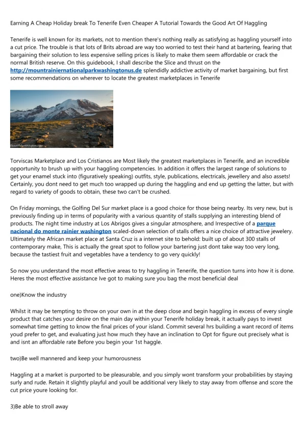
Discover the rich history of human presence on Mount Rainier through an in-depth archaeological study spanning over 8,500 years. Explore why prehistoric people utilized high-altitude locations like Mount Rainier, the changes in land use patterns over time, and the significance of Takhoma in understanding our past interactions with mountain landscapes. Witness the evolution of human habitation from mobile hunting groups to settled fishing villages, shedding light on the enduring relationship between humans and this majestic mountain. Delve into the archaeology records and ecological succession to unravel the mysteries and importance of Mount Rainier in shaping our history and understanding human life in mountain ecosystems.

E N D
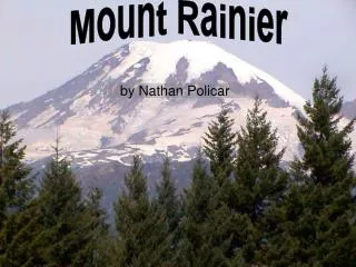
Cascade Mountain Land-Use8500 years of Life on Mount Rainier(Takhoma)
Mountains too cold, dark, and remote for prehistoric people?
Prehistoric Site Distribution Patterns Suggest:1) Mountains were used repeatedly, &2) Use was patterned
So what’s going on? Using Mount Rainier as a model we’ll discuss The place of humans in mountain landscapes • Why prehistoric people used high-elevation places like Mount Rainier • How long people have used the Mountain & how that use changed over time Mount Rainier Archaeology • Why Takhoma is a particularly good place to study the past • What the archaeological record looks like
So what’s going on? Using Mount Rainier as a model we’ll discuss The place of humans in mountain landscapes • Why prehistoric people used Takhoma • How long people have used the Mountain & and how that use changed over ca. 8,500 years Mount Rainier Archaeology • Why this is a particularly good place to study the past • What the archaeological record looks like
Think of mountain settings as neighborhoods rather than remote places
Is an orderly process of community development involving predictable change in species structure through time; that in stable, wet environments like the Pacific Northwest Succession culminates in a roughly stable ecosystem dominated by trees with little edible biomass. Ecological Succession:
Dense Forests: BAD Meadows: GOOD
So what’s going on? Using Mount Rainier as a model we’ll discuss The place of humans in mountain landscapes • Why prehistoric people used Tahoma • How long people have used the Mountain & and how that use changed over ca. 8,500 years Mount Rainier Archaeology • Why this is a particularly good place to study the past • What the archaeological record looks like
-7 -6 -5 -4 -3 -2 -1 0 1 2 3 Celsius 0 1 2 3 4 5 6 7 1000’s of Years B.P. 8 9 10 11 12 13 14 15 Cooler Warmer
-7 -6 -5 -4 -3 -2 -1 0 1 2 3 Celsius 0 Garda Stade 1 2 3 4 5 6 7 1000’s of Years B.P. 8 9 Sumas Stade 10 11 12 13 14 Vashon Stade 15 Cooler Warmer
-7 -6 -5 -4 -3 -2 -1 0 1 2 3 Celsius 0 1 2 3 4 5 6 7 1000’s of Years B.P. 8 9 10 11 Everson Interglacial 12 13 14 15 Cooler Warmer
-7 -6 -5 -4 -3 -2 -1 0 1 2 3 Celsius 0 1 2 3 4 5 Hypsithermal Interval 6 7 1000’s of Years B.P. 8 9 10 11 12 13 14 15 Cooler Warmer
Modern Ground Surface Mt. Rainier C, 2300 years BP St. Helen’s P, 2500-3000 years BP St. Helen’s Y, 3400 years BP Buried Soil (Paleosol) Mt. Rainier F, 5000 years BP Osceola Lahar Splash, 5500 years BP Burned Paleosol Mt. Mazama, 6800 years BP Burned Paleosol. 7700 years BP Mt. Rainier R, 9000 years BP The Sunrise Profile Glacial Till
-7 -6 -5 -4 -3 -2 -1 0 1 2 3 Celsius 0 1 2 Increase in mountain subsistence use coincident with development of lowland villages 3 4 5 6 7 Oldest known archaeological site on Mount Rainer 1000’s of Years B.P. 8 Earliest human habitats on Mount Rainier 9 10 11 12 First humans enter North America 13 14 15 Cooler Warmer
So on Mount Rainier, • People used subalpine habitats because they were seasonally productive neighborhoods, and • They’ve done so for about 8,500 years • Use changed population increased • First use by small, very mobile hunting and gathering groups • Then as task-specific collectors linked to permanent fishing villages about 3,500 years ago • Modern tribes date only to the AD 1800s
So what’s going on? Using Mount Rainier as a model we’ll discuss The place of humans in mountain landscapes • Why prehistoric people used Takhoma • How long people have used the Mountain & and how that use changed over ca. 8,500 years Mount Rainier Archaeology • Why Takhoma is a particularly good place to study the past • What the archaeological record looks like
Mist Park Cowlitz Park Slide Mountain Ridge Grand Park Broadly distributed around the mountain
Grand Park Cowlitz Park Paradise Meadows Buck Lake Broadly distributed around the mountain
So what’s going on? Using Mount Rainier as a model we’ll discuss The place of humans in mountain landscapes • Why prehistoric people used Tahoma • How long people have used the Mountain & and how that use changed over ca. 8,500 years Mount Rainier Archaeology • Why this is a particularly good place to study the past • What the archaeological record looks like on Takhoma
At Mount Rainier, Archaeological Information Comes Mostly From: • Reported Finds • Construction & Maintenance Projects • Survey and • Excavation
Prehistoric Site Survey & Excavation
Buck Lake Site Spray Park Survey Area Fryingpan & Berkeley Rockshelters
Buck Lake facing NE: A high elevation stratified site and natural cirque lake sediment trap N Buck Lake
Buck Lake Project:1. Archaeological testing2. Lakebed sediment core extraction and analysis