Download
1 / 16
160 likes | 175 Views
A summary of the Minnesota Geographic Information Office's drive to transform GIS functionality, including the process followed, business drivers, recommendations, risks, and success factors.

E N D
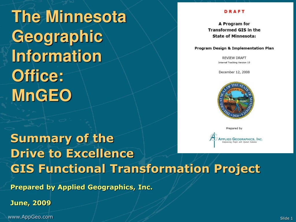
The MinnesotaGeographic Information Office:MnGEO Summary of the Drive to Excellence GIS Functional Transformation Project Prepared by Applied Geographics, Inc. June, 2009
Overview • The process that was followed • The business drivers for transformation • What was recommended • What happens now? • Risks • Success factors
Overview of the GIS Functional Transformation Project • Open and transparent process • No surprises • Lots of opportunity to provide input • Information gathering • Workshops • Interviews with 17 state agencies • Strategizing and recommendation development • State government workshop to refine preliminary recommendations • Supplemental information gathering • Cost to government survey • Prioritization survey • Oversight and guidance from Drive To Excellence Steering Committee
GIS GIS GIS Business Drivers for GIS TransformationAs with all things D2E, it’s about silos to enterprise… Minnesota Drive to Excellence Transformation Roadmap SummaryFrom Deloitte: March, 2005
Common problems many states face… • GIS governance has “grown up” incrementally and organically; not necessarily strategically • How to achieve coordination? • Agency to agency • State government to other levels of government • Who’s job is it? It’s not a part-time job. • Acknowledging that many departments have successful enterprise systems • Departmental programs can be larger and better funded than the “state GIS office” • Respecting departmental autonomy and expertise without creating “hardened silos” • Investing in new enterprise technologies • Without being redundant
High level business case for the MGIO: • Enterprise approach • New adopters:Lowers barriers for entry • Avoids costs for new investment • Specialized adopters:Provides communal infrastructure to tap into • Controls growth of costs • Mature adopters:Leverages their investments across the enterprise • Extends benefits of existing investments • Creation of Shared Service Centers
The Cost of GIS to GovernmentProvides a baseline for cost savings estimation • GIS cost to government: Conservatively:$12,564,000 /yr • 10% efficiency would yield >$1M/yr. savings • Controlling growth of costs • Future avoided costs • Have not seen this completed for any other state • Thank you for your help!
Opportunities & Benefits Reducing the Cost of GIS • Improved coordination • Reduced duplication of effort • More efficient data storage/management • More effective software licensing • Shared web applications and services • Coordinated data acquisition, collection and compilation • Common data distribution portal • Communal strategic investments in data/technology
What’s required to get there? • Identified specific activities for the MGIO to pursue • Collaborative approach respectful of agency involvement in developing technical architecture • Accesses departmental expertise to deliver shared services
Recommended Implementation Strategy • Principles: • The MGIO is about facilitation and coordination, not production • Leverage existing infrastructure and collaborative spirit of MN GIS stakeholders • Incremental, phased approach • Budgets will remain tight for the foreseeable future • Priorities:
Staffing Requirements for a Successful MGIO • High-level identification of teams • Rough numbers of staff across activities • Provides baseline that was modeled in budget scenarios
Implementation Budget • Recommended funding: • 3 Additional Lower Cost Scenarios: • $650k operating increase; $1M for data; $2.54M annual; 11 FTE • $400k operating increase; $250k for data; $1.45M annual; 9 FTE • $350k operating increase; $0 for data; $1.15M annual; 9 FTE • Warning against a “no new funding” scenario • Real “transformation” will be much more difficult without some new resources
Risks & Implementation Barriers • Missing the unique timing of the Drive to Excellence initiative • Loss of executive support for the proposed transformation • Agency GIS programs need direction to follow this path • Loss of agency GIS program support for the proposed transformation • MGIO needs to continue transparency and active outreach to agencies • Perceptions of insufficient transformation • Inadequate funding • Insufficient support for cross agency activities • Inadequate performance of shared services and resources
Success factors • This is a well considered plan • The state has done its homework • There is senior executive support • Through the D2E Cabinet • The MN State Government GIS Community is committed and collaborative • And continues to grow • New technologies support this vision
Summary & Conclusion A large cross section of GIS practitioners from across the state, have invested time and energy in this process with the belief that this type of GIS transformation will address existing problems and help restore Minnesota to national GIS leadership. Expectations are high. The path forward has been identified. It is now time to move forward.