Download
1 / 17
170 likes | 201 Views
Explore innovative products for disseminating geographic information from the September 2014 conference in Geneve. Learn about classical and modern dissemination methods. Discover the significance of visual products in condensing and sharing vast amounts of data effectively. The CDS geographic navigation tool offers online access to detailed information on administrative boundaries, cells, and grids in Spain, facilitating user-friendly queries. Predefined thematic maps and indicators provide insights into census variables, offering a fresh perspective independent of administrative boundaries. Madrid's detailed information and comparisons between cells and administrative maps are also featured.

E N D
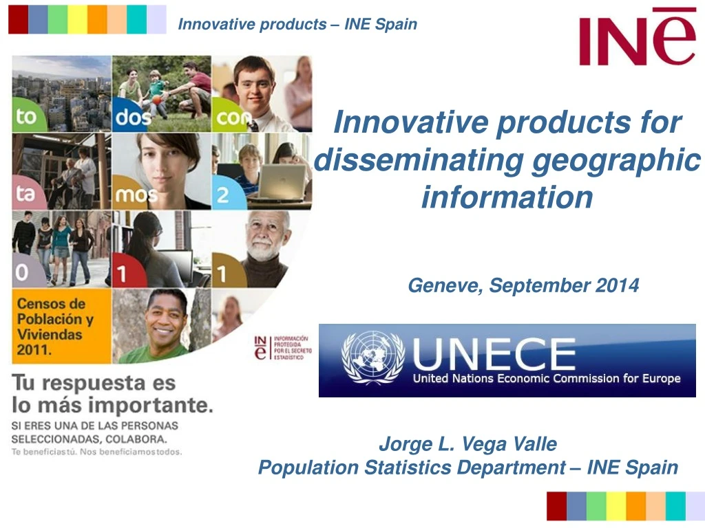
Innovative products for disseminating geographic information Geneve, September 2014 Jorge L. Vega Valle Population Statistics Department – INE Spain
Modern dissemination… 2011 biggest novelty: Collection of coordinates Allows new ways of disseminating info Buildings, dwellings, households, people… are georreferenced
Importance of visual products • -Users can understandinformationwithfewexplanations. • Express ideas in a snapshot. • -Hugeamounts of data can be condensed in a simple • picture. • -Visual contentis social-media ready and friendly. • -Post withvisualsreceive 94% more page visits.
CDS geographic navigation • -Online web product • -Possibletoconsultinformation: • *Relatedwithadministrativeboundaries • *Relatedwithcells • -Guidedmenustoobtainalltheinformation • -Suitabletoolforallkinds of users
CDS geographic navigation • Selection of administrativeunits…thencreate a query
CDS geographic navigation • Selection of cells…thencreate a query
CDS geographic navigation • Gridlevel. Spain total area: More tan 500,000 km2 • Fourdifferenttypes of grids: • -100 km2 • -10 km2 • -1 km2 (compatible withEuropeangrid). • 80,000 cellswithinformation • -up to 50 m2 . Partitionsaccordingtopopulationsize.
CDS geographic navigation • Predefinedthematicmaps and indicators
CDS geographic navigation • Predefinedthematicmaps and indicators
Predefined 1km2 maps • -15 maps (people, household and dwellings) aboutthe • mostinterestingCensus variables. • -Reflectinformationfrom a different and innovativepoint • of view. Independence fromadministrativeboundaries. • -Show betterthereality. • -Detailed data at a glance. • -Informationeasytounderstand.
Predefined 1km2 maps Madrid detailed info
Thank you very much for your attention… Comments? Questions?