Download
1 / 20
200 likes | 225 Views
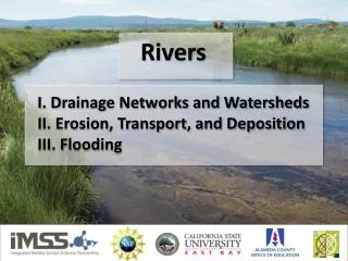
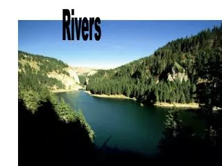
Delve into the stages of a river from source to estuary, unraveling the mysteries of waterfalls, meanders, gorges, oxbow lakes, and more. Discover the formation of valleys, tributaries, deltas, and floodplains.

E N D
1 - Source 2 – Interlocking spur 3 - Gorge 4 - Waterfall 5 – Meander 6 - Meander 7 – River cliff 8 – Oxbow lake 9 – Flood plain 10 - Estuary
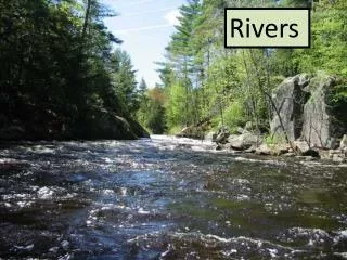
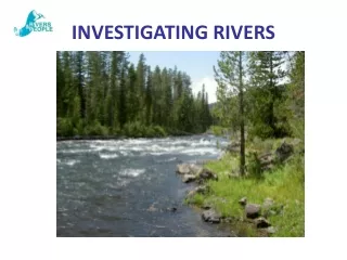
What is the source of a river? It is the beginning of the River. The source can also be called a headwater. • How is the source of a river fed? • Underwater Spring • Rain from the Cloud • Melted Snow
WATERFALL What is a waterfall and how is it formed? • A waterfall is usually a geological formation resulting from water, often in the form of a stream, flowing over an erosion resistant rock formationthat forms a sudden break in elevation. • The waterfall is made when water falls down a cliff or a steep hill.
VALLEY What is a valley? • The land between hills or mountains, usually containing a stream or river.
GORGE What is a gorge? A narrow valley between hills or mountains, typically with steep rocky walls and a stream running through it. How is a gorge formed? • There are two theories about the • formation of gorges; • Gorges were formed by large • caverns whose roofs eventually collapsed. • or • Erosion due to streams or rivers. • Streams carve through hard layers of rock, • breaking down or eroding it. Sediment • from the worn-away rock is then carried • downstream. Over time, this erosion will • form the steep walls of a gorge.
TRIBUTARY What is a tributary? A Tributary is a stream that flows into a larger river. The water flows from the tributary and runs to the main channel.
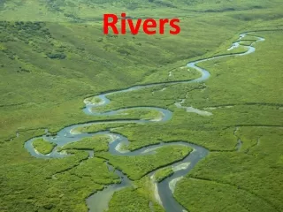
MEANDER What is a meander? A Meander is a loop in a river. How is a meander formed? Meanders are formed by erosion and occur where a river has worn away its banks. Most erosion normally occurs on the outside bend of a meander.
EROSION What is erosion and how does it occur? Erosion is the removal of solids (sediment, soil, rock and otherparticles) in the natural environment. It usually occurs due to transportby wind, water, or ice; by down-slopecreep of soil and other materialunder the force of gravity.
OXBOW LAKE What is an oxbow lake and how is it formed? An oxbow lake is a U-shaped body of water formed when a Wide meander from the mainstream of a river is cut off to create a lake. This landform is called an oxbow lake for the distinctive curved shape that results from this process.
OXBOW LAKE FORMATION An oxbow is a crescent-shaped lake lying alongside a winding river. The oxbow lake is created over time as erosion and deposits of soil change the river's course. You can see how an oxbow lake takes shape above: • On the inside of the loop, the river travels more slowly leading to deposition of silt. • Meanwhile water on the outside edges tends to flow faster, which erodes the banks making the meander even wider. • Over time the loop of the meander widens until the neck vanishes altogether. • Then the meander is removed from the river's current and the horseshoe shaped oxbow lake is formed.
CONFLUENCE What is a confluence? • A Confluence is where a Tributary joins the main river. • A flowing together of two or more streams. • The point of juncture of such streams. Confluence of the Rhône and Drôme rivers
RIVERBED What is a riverbed? Is the channel bottom of a stream or river or creek.
DELTA What is a delta? Is a low triangular area of alluvial deposits where a river divides before entering a larger body of water. How is a delta formed? A river delta is formed from sediments carried by a river as the river enters an ocean, sea, lake or another river
Delta • When a stream enters a standing body of water such as a lake or ocean, again there is a sudden decrease in velocity (speed) • and the stream deposits its sediment in a deposit called a delta. • Deltas build outward from the coastline, but will only survive if the ocean currents are not strong enough to remove the sediment. • As the speed of a stream decreases on entering the delta, it becomes full of sediment and conditions become favourable to those of a braided stream channel, but instead of braiding, the stream breaks into many smaller streams called distributary streams.
FLOODPLAIN What is a floodplain? The floodplainis that land which has been or may be covered by floodwater during the regional flood.
WETLANDS What are wetlands? A wetland is a land area that is saturated with water either permanently or seasonally, such that it takes on the characteristics of a distinct ecosystem. • The main factor that makes wetlands unique from • other land forms or water bodies is the vegetation • that has adapted to its unique soil conditions. • Wetlands consist primarily of hydric soil which • supports aquatic plants. • The water found in wetlands can be saltwater, • freshwater or brackish. • Main wetland types include swaps, marshes bogs • and fens. Barnes wetland centre