Download

1 / 12
120 likes | 233 Views
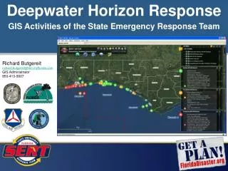
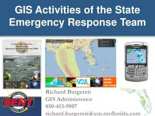
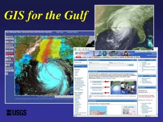
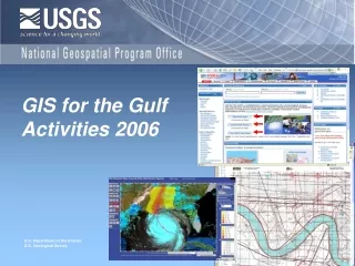
GIS for the Gulf Activities 2006. Storm Response Preparedness. Geospatial One-Stop , On-line Portal for Geospatial Data Information Sharing - geodata.gov Hurricane ‘Community’ - organizing data and applications for response and recovery

E N D
Storm Response Preparedness • Geospatial One-Stop, On-line Portal for Geospatial Data Information Sharing - geodata.gov • Hurricane ‘Community’ - organizing data and applications for response and recovery • Data Partnership Marketplace for coordinating acquisition plans and requirements • GIS for the Gulf - Project Homeland Integrated Database (DHS,USGS, NGA) • The National Map – Data delivery, download, and updated USGS maps and products
GIS For the Gulf (GFG) 2006 Activities • Develop signed Partnership Agreements – NSDI Liaison activities associated with discovery and sharing of State and local data • Building a list (a xls or db file) of the State and local data identifying key characteristics such as data theme, contacts, restrictions, …Work to have that information published in GOS for both existing and planned acquisitions • NOAA stewarding the GOS Hurricane Community • Continue to build and populate The National Map with appropriate State and local data • Imagery – Agreement with Eros Data Center and DHS: provide link for the State and local data for DHS (testing Pixia as a possible delivery mechanism). • Extract Transform and Load (ETL) new data when possible – researching product generation from the GFG database • DOI sending out letter to Agencies to post hurricane related data and plans to GOS
Your help is needed • Help us organize the hurricane community by letting us know which of your data and applications we should feature. • Continue to work with your data coordinating bodies (NDOP, NDEP, CRSSP….) • Post your data acquisition plans