Download
1 / 18
180 likes | 328 Views
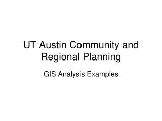
UT Austin Community and Regional Planning. GIS Analysis Examples. Integrating Data - Police Crime Reports and Aerial Photos. Cartography by Nat Brown. Integrating Data - Toxic Release Inventory Data (EPA) and County Outlines. Cartography by Barbara Parmenter.

E N D
UT Austin Community and Regional Planning GIS Analysis Examples
Integrating Data - Police Crime Reports and Aerial Photos Cartography by Nat Brown
Integrating Data - Toxic Release Inventory Data (EPA) and County Outlines Cartography by Barbara Parmenter
Analyzing Buildable LandErin Wilhelm, Advanced GIS, Spring 2001
Buildable land with farmland protection Erin Wilhelm, Advanced GIS, Spring 2001
Buildable land with water supply protection Erin Wilhelm, Advanced GIS, Spring 2001
Recommendations for Potential Park Acquisition Areas Round Rock, Texas, 1999 Student team members: Michael Gatto, Joe Gorney, and Kirsten HardingCommunity and Regional Planning Program, UT Austin, Introduction to GIS, Fall 1999
1955-56 Cartography by Barbara Parmenter, 2004
1966 Cartography by Barbara Parmenter, 2004
1973 Cartography by Barbara Parmenter, 2004
1983 Cartography by Barbara Parmenter, 2004
1991 Cartography by Barbara Parmenter, 2004
1997 Cartography by Barbara Parmenter, 2004
2000 Cartography by Barbara Parmenter, 2004
This shows the approximate extent of the 1935 flood over a current aerial photo
Gravel extraction at the foot of Austin’s main avenue More industrial uses in an increasingly minority residential area Colorado River at Austin, 1951
Civic Auditorium and new park on lakeshore facing downtown Longhorn Dam, built 1959-1960, to provide cooling lake for power plant Interstate highway construction further isolates East Austin Town Lake, 1964