Download
1 / 18
180 likes | 303 Views
TEIN2 Applications Framework and Disaster Warning Systems. Earth Monitoring Workshop EDSA Shangri-la, Ortigas Business District, Manila 24 January 2007. TEIN2 Overview. Non-beneficiaries: Korea Singapore Japan Australia France Netherlands UK. New ASEM members India Pakistan

E N D
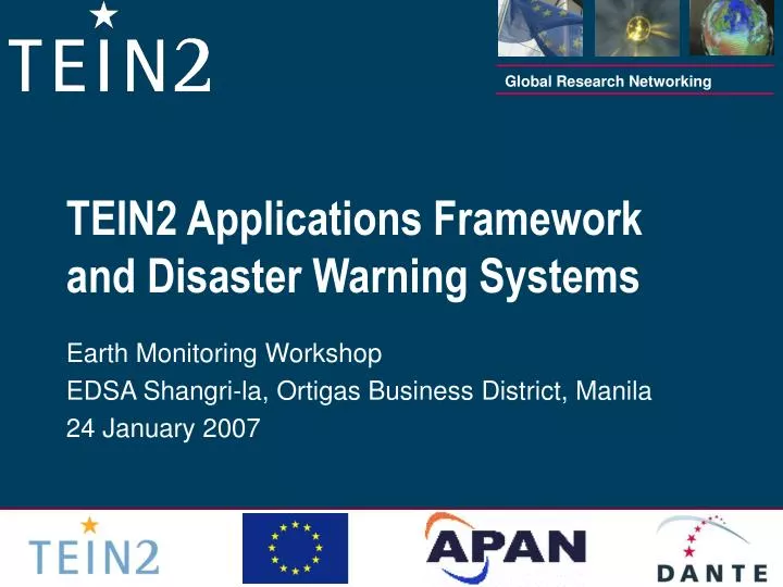
TEIN2 Applications Framework and Disaster Warning Systems Earth Monitoring Workshop EDSA Shangri-la, Ortigas Business District, Manila 24 January 2007
TEIN2 Overview Non-beneficiaries: Korea Singapore Japan Australia France Netherlands UK New ASEM members India Pakistan Mongolia A 10million Euro initiative of the European Commission, under the auspices of ASEM and DG INFSO, with the objective of improving connectivity within Asia and to Europe, with a focus on ASEM developing countries Beneficiaries: China Indonesia Malaysia Philippines Thailand Vietnam Laos
TEIN2 Topology June 2006
TEIN2 Topology Singapore toPerth (4 x 155Mbps, 2x2)Frankfurt (west) (3 x 622Mbps)Japan (at least 2 x 622Mbps)Korea (622Mbps)Hong Kong (622Mbps)Thailand (155Mbps)Malaysia (45Mbps)Indonesia (45Mbps) Hong Kong to:Vietnam (45Mbps)Beijing (622Mbps) Beijing to Europevia Russia (622Mbps)
Benefits of TEIN2 • Prior to TEIN2 connections between Asian countries went via the US or sometimes Japan. Now it is direct with massively reduced delay (critical for real-time interaction) • Singapore to Malaysia was 210ms, now 9ms; Perth to Singapore was 250ms, now 60ms • Much less US centric • “This year will mark the first time intra-Asian bandwidth usage has significantly outpaced trans-Pacific. “ Telegeography, 21 July 2006 • New NRENS established in record times (Vietnam, Indonesia, Laos, Malaysia) with impressive rollouts and enthusiastic adoption • A whole range of new collaborations is emerging
Exploiting the Infrastructure • High performance/capacity networks withoutcompelling applications that provide new/enhanced opportunities for research, education and societal benefit are of little value • Need an enthusiasticuser base and champions that have the tools and capabilities to exploit the opportunities presented • Need a framework that ensures that applications benefit researchers, educators and society in a powerful, reliable and easy-to-use way • The underlying complexities of the routing/switching infrastructure and collaboration tools should be transparent to the end users
Why persistent infrastructure matters Bird Flu– 64 people, 8 countries involved Virtual Surgery – 37 people, 5 countries involved Surgical Training Centres – 35 people, 5 countries • Demos are key to showing capability • Usually require huge support and implementation effort (see examples for this meeting) • Generally last from hours to a few days then often “torn down” • Need a framework that gives a persistent capability, and exploits the effort put into the demos • Ref NHP, Hanoi example
The elements that need to be addressed • Network reach, reliability, low latency • Routing/switching stability and predictability, resilience (Taiwan earthquake) • End-to-end performance across NRENS, campuses and end-user equipment • Good cooperative engagement between NOCs • Consistent support for collaboration tools • Good engagement between network engineers, researchers/users, performance and audio visual people • Involvement of Human Factors experts • Promotion, education and training
Collaboration tools • Things that help people in different places work together as though they were in the same place • Might include: • DVTS/ Access Grids/ ConferenceXP/VRVS • HD/ VLC • SIP/ H323 • Need to accommodate a range of bandwidths • Need to take “Human Factors” into account
Disaster and Natural Hazard Warning/Monitoring Systems • Asia has around 50% of the world’s population and experiences around 70% of the world’s natural disasters (typhoon, earthquake, tsunami, volcanic eruption, flood) • High on everyone’s agenda following the impact of the Indian Ocean tsunami, even the impact of the Dec 2006 Taiwan earthquake • A multi-facetted set of inter-related activities and technologies (satellite and ocean/terrestrial sensor data collection; data repositories and data mining; monitoring, geospatial analysis, modeling, interpretation and prediction; mitigation and response; real-time interaction when an event occurs or is anticipated)
Some of the Asian players • Asian-Pacific Network of Centers for Earthquake Engineering Research (ANCER) http://mceer.buffalo.edu/research/International_Research/ANSER • Pacific Disaster Centre - http://www.pdc.org • School of the Internet - International Seminar Course on Disaster Management http://www.soi.wide.ad.jp/soi-asia/ • ASEAN Specialised Meteorological Centre (ASMC)http://intranet.mssinet.gov.sg/asmc/asmc.html • ASEAN Committee for Disaster Management (ACDM) http://www.aseansec.org/18867.htm • Asian Disaster Reduction & Response Network http://www.adrrn.net/index.asp • Advanced Land Observing Satellite “Daichi” (ALOS) http://www.jaxa.jp/missions/projects/sat/eos/alos/index_e.html
Some of the global players • GEO – Group on Earth Observationshttp://www.earthobservations.org/index.html • Global Earth Observation System of Systems http://www.epa.gov.geoss • Global Monitoring for Environment & Security (GMES) http://www.gmes.info/ • World Meteorological Organization http://www.wmo.ch/ • National Oceanic and Atmospheric Administration (NOAA)http://www.noaa.gov/
Societal Benefits of GEOSS Implementation • Reducing loss of life and property from natural and human-induced disasters. • Understanding environmental factors affecting human health and well-being. • Improving management of energy resources. • Understanding, assessing, predicting, mitigating, and adapting to climate variability and change. • Improving water resource management through better understanding of the water cycle. • Improving weather information, forecasting and warning. • Improving the management and protection of terrestrial, coastal and marine ecosystems. • Supporting sustainable agriculture and combating desertification. • Understanding, monitoring and conserving biodiversity.
ALOS Data Transfer from Japan to Thailand, Italy, Norway & US? • JAXA’s Advanced Land Observations Satellite (ALOS) started providing Earth Observation data in late October 2006 • ALOS now generates up to a Terabytes per day. Most of this data is currently transmitted through JAXA’s Data Relay Test Satellite (DRTS), and is distributed to Thailand, Europe, and USA using DTF-2 tape • JAXA is investigating transferring the data processed by JAXA/EOC using high data rate terrestrial and undersea cable networks • Investigations also cover receiving satellite data from Europe’s ground station to JAXA/EOC through terrestrial and sub-ocean networks • Data rate requirements will be approximately 25 - 200 Mbps • Plan to perform ALOS data transfer between Japan and Thailand, Italy, Norway and USA (potentially using APAN/TEIN2/GEANT2 networks) in early 2007
A role for TEIN2 in facilitating access to the GEO Grid? • The GEO (Global Earth Observation) Grid is the system to integrate all data related to earth observation. • Objectives consistent with GEOSS • The integration of grid technology (IT) to the global earth observation (Science) allows the secure and rapid provision of large datastores of various attributes of earth observation data which can be integrated with other observation databases and GIS data • Is there a role for TEIN2 as part of the Grid framework providing access to datastores and for real-time collaboration?
Funding for collaboration activities (Earth Monitoring?) • To date funding considerations have been focused on infrastructure • We should also focus on funding for applications • EC 7th Framework Program will hold a video conference for Asia and the Mediterranean (served by TEIN2 and EDUMEDCONNECT) on 6 March from 10.00am to 12.30pm Central European Time (GMT +1) • Topics to be covered include:
FP7 Videoconference topics • e-Infrastructures activity under FP7 • Introduction to Scientific Digital Repositories element • Introduction to Deployment of e-Infrastructures for Scientific Communities element • Submission and evaluation of proposals • Introduction to the Integrated Infrastructure Initiative model • Introduction to future calls topics • Opening of the networking part
A role for EM Working Group in leading this TEIN2 apps area? • The APAN medical working group has been the key driver in exploiting TEIN2 for telemedicine • The APAN EM working group is well placed to lead the exploitation of TEIN2 to facilitate support for Disaster and Natural Hazard systems • Would welcome discussion/thoughts on this