Download
1 / 11
110 likes | 210 Views
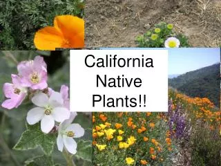
Discover the diverse vegetation types of Yavapai County, AZ, from montane conifer forests to desert communities. Learn about the area's unique plant life with helpful plant books and online resources.

E N D
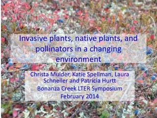
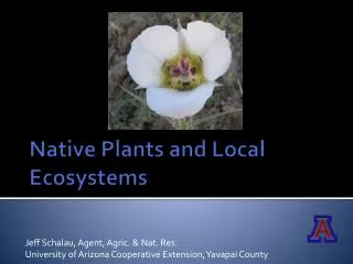
Jeff Schalau, Agent, Agric. & Nat. Res. University of Arizona Cooperative Extension, Yavapai County Native Plants and Local Ecosystems
Yavapai County Factoids • Area is 8,125 mi2 • Elevation ranges from 1,900 to 7,979 ft • 26% Private • 38% USFS • 27% State Lands • 9% BLM • 0.5% Native American Reservations • Population estimate 211,061 (2010) • Nine incorporated cities/towns
Yavapai County Vegetation Types Montane Conifer Forests (red) Great Basin Grasslands Pinyon Juniper Woodland (straw) Desert Communities (blue) Interior Chaparral (green) Semi-Desert Grasslands (peach)
Pinyon Juniper Woodlands Ponderosa Pine Great Basin Grasslands Interior Chaparral
Joshua Tree near Congress Sonoran Desert near BCC Riparian Area - Beaver Creek Cedar Flats near Camp Verde
Yavapai County Plant Books • Arizona Flora (1960), T.H. Kearny and R.H. Peebles • Seed Plants of Northern Arizona (1973), W.B. McDougall • A Field Guide to Plants of Arizona (1997), A.O. Epple • A Field Guide to Southwestern and Texas Wildflowers (1998), T.F. Niehaus • Weeds of the West (2006), T.D. Whitson
Yavapai County Native Plant Web Resources • Yavapai County Native & Naturalized Plants cals.arizona.edu/yavapaiplants/ • Common Plants of the Verde Valley & Sedona www.naturesongs.com/vvplants/ • USDA Plants Database plants.usda.gov • SEINet swbiodiversity.org/seinet/