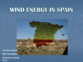
Download
1 / 26
260 likes | 358 Views
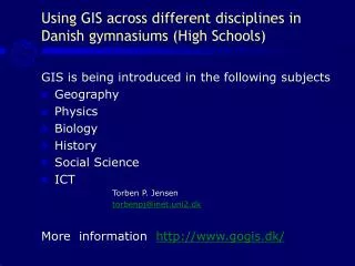
Educators can utilize web-based, field-based, and desktop-based GIS frameworks to engage students in analyzing environmental and wind data. The Danish Edugis program offers a comprehensive approach for student involvement in GIS studies, emphasizing ICT functionality, knowledge sharing, and collaboration among teaching teams. By integrating GIS technology in wind energy and environmental studies at Danish high schools, students can enhance their learning experiences through practical applications and exploration rooms. Different learning styles and teaching models are considered to cater to diverse student preferences, fostering hands-on learning and critical thinking in GIS analysis.

E N D
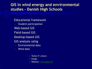
Educational framework Student participation Web-based GIS Field-based GIS Desktop-based GIS GIS analysis using Environmental data Wind data Torben P. Jensen Edugis Website: www.gogis.dk GIS in wind energy and environmental studies - Danish High Schools
GIS and student participation • Good ICT-functionality and knowledge sharing • Teaching teams cooperating closely and openly • Well-structured teaching models wíth sub-categories
The extension and use of the internet in Denmark • A growing number of private citizens in Demark have access to the internet • 1999-2003: from 50 % to 77 % • 12 to 19 age group: 97 % • 60 to 69 age group: 44 % • over 70 age group: 21% • All schools in a single Sector network • All schools have web sites • Communication platform for all schools “Skolekom” using First Class - more than 300,000 users .
The three classical learning rooms • The classroom • The study room • The training room
Exploration room – new room • From learning objectives to product • Interchange of classroom theory and field work in the exploration room • Use of ICT and selected digital learning objectives in the exploration room • Learning objectives and product demands determine student participation and student activities in the exploration room
Learning styles • The Activist • Motto: We must learn by doing and testing. • The Theoretician • Motto: We must adjust practice to the best theory. • The Pragmatist • Motto: The theory must work in practice – or we’ll make a new theory. • The Reflective • Motto: We must look at the problem from all angles.
Teaching model • Problem • Background • Exercises • Links
Learning categories • Experience • Insights • Source • Methods • Express • Exercise
Web-based GIS with local data • Digital Atlas – Local area: Students often see and understand the possibilities in GIS
Ortho photo in GIS • GIS can show Ortho photo in a Geographical Information System • Example from Klim
Ortho photo with GIS analysis by students • A GIS project can visualize the collected data in a map • On top of an Ortho photo the students may draw the outlines of a building and add new information about every location.
Ortho photo with GIS-data • The same GIS project again • Not the map, but part of the data base made by the students is shown here
Environmental pollution at Mundelstrup • The 1980s: more than 20 sites were depolluted. The toxic soil was removed and new soil put on
Map of the fertilizer factory - the source of pollution • Fertilizer factory (1888-1924) • Map from about 1900
GIS analysis using environmental data • Environmental issues near Mundelstrup, Denmark
Field-based GIS - using pda (iPAQ) and ArcPad • iPAQ og ArcPad can be used to collect and store data from the satellites • The data can be used in the GIS programs.
From spread sheet to GIS project • The students make spread sheets with information on every locality, environmental conditions such as water pollution etc. • The spread sheet is imported into ArcView and the program shows the different contents of the legends
Polluted plots of land • The Municipality of Aarhus, Denmark
Students’ GIS reports on the pollution. • GIS data can be exchanged via mail and conference systems like First Class.
Wind energy in Europe • Wind energy Production in 2002
GIS query - wind velocity • Find the best locations for wind mills
Links • www.gogis.dk • www.gogis.dk/03/mundelstrup • www.itmf.dk/itmf160 • www.skolegis.dk/best • www.gogis.dk/natgis/vind/