The terrain
3-4 July 2007 missed heavy precipitation event in the Western Swiss Alps (Or the art of forecasting precipitations in a mountainous region). The terrain. Basel. Zurich. Bern. Lausanne. Geneva. Locarno. Heavy precipitation critical thresholds in Switzerland. 50mm/24h. 100mm/24h.

The terrain
E N D
Presentation Transcript
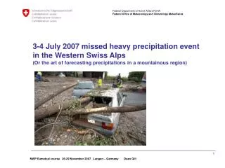
3-4 July 2007 missed heavy precipitation eventin the Western Swiss Alps(Or the art of forecasting precipitations in a mountainous region)
The terrain Basel Zurich Bern Lausanne Geneva Locarno
Heavy precipitation critical thresholds in Switzerland 50mm/24h 100mm/24h
What happened? • Unseasonably strong westerly flow across the Alps. • Passage of an active frontal system in this rapid flow • Unusually active warm front and warm sector • cold front starting to wave against the Alps • Mainly large scale precipitations certainly with a convective component (but no thunderstorms)
WV 5.35 - 7.15 µm 3 July – 18UTC Western Switzerland
WV 5.35 - 7.15 µm 4 July – 00UTC Western Switzerland
Hourly Precipitation rate in Aigle, le Bouveret and le Moléson
Consequences • Floods • Landslides • Mudslides • Power outage • Fortunately no injuries or deaths!
… and what about forecasting stratus cloud in mountainous regions?

