Download
1 / 25
250 likes | 361 Views
Planning Commission meeting 5/22/2012. Shoreline Master program update. Project Schedule Planning Commission’s Role Review Chapters 1 – 3 of Draft SMP Focus is on understanding key concepts and regulations Questions. purpose. Listen Understand Ask questions Make suggestions. Pc role.

E N D
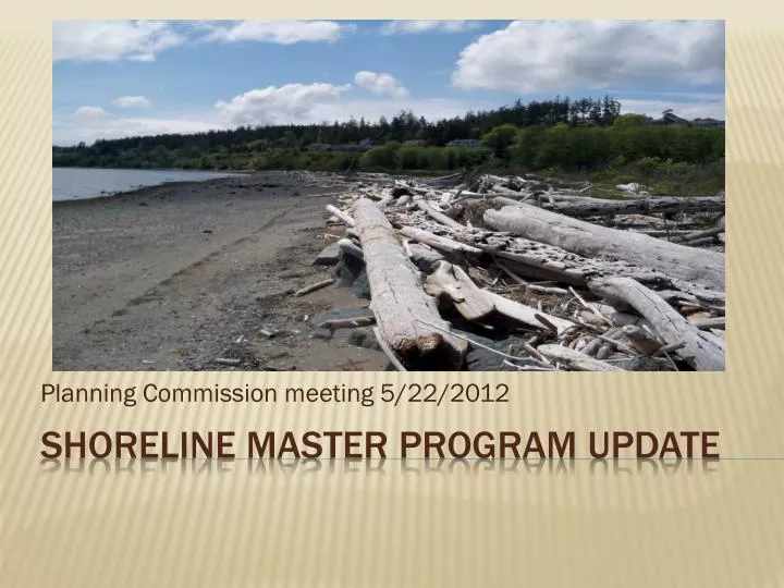
Planning Commission meeting 5/22/2012 Shoreline Master program update
Project Schedule • Planning Commission’s Role • Review Chapters 1 – 3 of Draft SMP • Focus is on understanding key concepts and regulations • Questions purpose
Listen • Understand • Ask questions • Make suggestions Pc role
May: Chapter 1 – 3 • June: Chapter 4 • July: Chapter 5 • August: Chapters 6 and 7 • Important point: DOE review still underway Schedule
SMA/SMP Purpose: (1) public access (2) water-dependent uses (3) environment Shoreline jurisdiction: 200 ft. + wetlands Ecology approval required No net loss of ecological functions Chapter 1: introduction
What are environment designations? State standard system. Chapter 2: environment designations
Key points: • Maritime: allows for industrial and commercial uses. • Allows for water-dependent industry (shipping, boat building, aquaculture, etc.) • Residential - Bluff Conservancy: appropriately sited development along bluff. • Generally more precise than existing designation • Planning Commission discussion? Chapter 2: environment designations
Applies to all areas w/i shoreline jurisdiction • Focus on key concepts: • Public access • Vegetation conservation • Mitigation sequencing • Other sections: • Econ. dev., archaeology, critical areas, environmental impacts & mitigation, etc. Chapter 3: general provisions
Public access: context • Hot topic with Shoreline Advisory Committee • One of three main SMA goals • Definition includes physical and visual access • Based on Public Trust Doctrine (PTD) • Putting access in perspective: most of OH shoreline already developed Chapter 3: general provisions
Public access: When is physical access required? • When development creates demand/need • SFR and subdivisions of four lots or less excluded • Public land or applicant is public agency • Interference with existing access Chapter 3: general provisions
Public access: When is physical access not required? • Safety hazards • Security of the use • Disproportionate cost • Environmental harm • Land use conflict w/ access (industrial?) Chapter 3: general provisions
Public access: Other key provisions (physical) • Adjacency to Waterfront Trail (regs. 3 & 8, pg. 31 & 32) • Fee in lieu (reg. 6, pg. 32) • Width: 12 ft. (reg. 18, pg. 33) • Design: (reg. 19, pg. 33) Chapter 3: general provisions
Public access: Key provisions (visual) • Views from public areas can be protected (reg. 20, pg. 33) • View study (reg. 21, pg. 33) • Reqs. of view study (reg. 22, pg. 33) • View mitigations (reg. 23, pg. 34) • Central point: balance private property rights with public interest. Committee struggled here. • Misconception: Either the view or the building Chapter 3: general provisions
Vegetation Conservation: context • Science: human and environmental benefits • Guidelines: conservation required. Prove no net loss. • Requirements: Based on Ecology experience and science on buffer width. • Ecology: prefer buffer and setback system. Buffers – 30 feet in urban setting. Chapter 3: general provisions
Alternatives: • Option A: Two Tier/Two Zone • Option B: Min/Max Setback • Option C: Standard setback Chapter 3: general provisions
Vegetation Conservation: Key Provisions • Zone 1: VMZ (buffer) – 0 - 30 feet wide (pg. 38 – 39) • Priority area for replacement and mitigation • Existing non-native vegetation can be maintained, not expanded • Pervious pathway 6 feet wide • Waterfront Trail improvements • 80% native vegetation required Chapter 3: general provisions
Vegetation Conservation: Key Provisions • Zone 2: setback – 30 - 50 ft (pg. 39) • New non-native allowed • Impervious limited to 20% • Water-oriented uses allowed (patios, decks, gazebos, boathouses, hot tubs) • Pervious pathway 6 feet wide • 60% native vegetation required Chapter 3: general provisions
Vegetation Conservation: (pg. 39-40) • Regulations triggered by new development exceeding 60% of assessed value • Shoreline landscape plan required • Requirement for plan may be waived if Zone 1 =80% native vegetation, Zone 2 = 60% native vegetation • Tree removal: significant trees – Zone 1 – 3:1, Zone 2 – 2:1, elsewhere 1:1 Chapter 3: general provisions
Environmental Impacts and Mitigation (pg. 27) • Mitigation sequencing • Avoid – don’t impact if you don’t have to • Minimize – avoid where possible • Rectify – rehabilitate impacted area • Reduce or eliminate – preserve or maintain over time • Compensation –replace function somewhere else • Monitoring – measure and take corrective measures Chapter 3: general provisions

![First Review of Preliminary Draft Shoreline Master Program [Entity] [Month Day, 2009]](https://cdn1.slideserve.com/2169369/slide1-dt.jpg)