Download
1 / 33
330 likes | 442 Views
Advisory Committee on Water Information. Status report: Subcommittee on Spatial Water Data. Herndon, VA September 10, 2003. “surface water geospatial framework”. Integration of key Spatial Water Datasets. National Elevation Dataset. National Hydrography Dataset. COMPLETE 30meter.

E N D
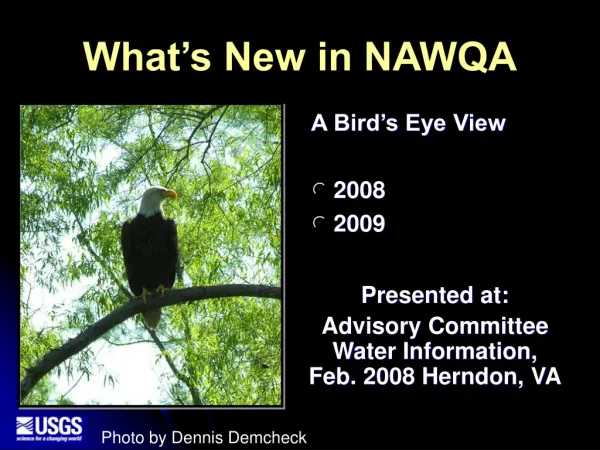
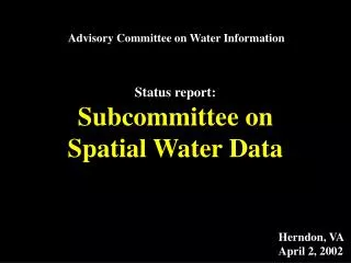
Advisory Committee on Water Information Status report: Subcommittee on Spatial Water Data Herndon, VA September 10, 2003
“surface water geospatial framework” Integration of key Spatial Water Datasets National Elevation Dataset National Hydrography Dataset COMPLETE 30meter COMPLETE 1:100K IN PROGRESS 1:24K IN PROGRESS 1:24K NED-Hydrology Watershed Boundary Dataset IN PROGRESS 1:24K COMPLETE 30meter
Subcommittee’s role • encourage • facilitate • review
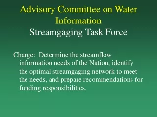
Interagency Development of a Reference Set of Watersheds for the United StatesWBD
Hydrologic Units Where are we? 2-digit= 1st level = 22 regions 4-digit= 2nd level = 222 subregions 6-digit= 3rd level = 789 accounting 8-digit= 4th level = 2223 cataloging new! WBD 10-digit= 5th level = ~22,000 watersheds 12-digit= 6th level = ~160,000 subwatersheds
Submittal Projections WBD VERIFICATION PROCESS
Funded Working Groups Salt Lake City USGS Ft. Worth NRCS Sacramento BOR Philadelphia EPA Atlanta USGS EROS Data Center USGS
Problematic States Arizona:NRCS,USFS and BLM do not recognize need for 6th Level Delineations. Idaho: Lack of in-kind funding. North Dakota:Inefficient process, minimal funding. Minnesota: Too much detail is being added well beyond the needs of the WBD. Estimated completion date at the current rate is 15 years. Plenty of funding, but have not been amenable to changing process. Louisiana:No local support. New York:Inefficient process, lack of coordination. New Jersey:Reluctant to modify existing dataset
WBD MEETINGS Austin
FY04 Meetings Planned Portland, OR : Evaluation of NV, OR, ID, WA Syracuse, NY : Evaluation of NY, VT, NJ, PA Charleston, WV : Evaluation of WV, OH, VA Columbia, SC : Wrap up of SC dataset Needed Minneapolis, MN Phoenix, AZ Madison, WI New Orleans, LA
Meeting Detail
Subcommittee on Spatial Water Data Coastal Watersheds Work Group Hydro Standard Work Group Guidelines Work Group National Hydrography Framework Standard FGDC HUC unified Guideline
National Hydrography Framework Standard • Develop formal Content Standard for Hydrography. • describe a general model (a data dictionary, definitions, relationships) • application-independent, • supportsinternational standards • facilitates the exchange of data.
EGOV Initiative Geospatial One-Stop • Key points • Develop and implement Framework Data content standards • Elevation • Orthoimagery • Hydrography • Administrative Boundaries • Transportation Networks • Cadastral • Geodetic Control • Establish comprehensive Federal Portal • Director Hank Garie, USGS Co-chairman, Scott Cameron, DOI
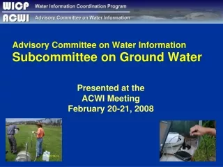
Density differences Paper map
NHD Problem: Drainage Density Artifacts reference paper map
Subcommittee on Spatial Water Data FY04 THEME: “interoperable”
Geospatial One Stop Purpose of the project: • Making it: • Easier • Faster • Less expensive For all levels of government and the public to access geospatial information.
Federal Integration Services Support Government Business Support Decision Making Homeland Security Recreation One Stop Disaster Management Smart Growth Citizen Services Other E-gov Initiatives Watershed Management Counties States Cities Tribes Academia GOS Portal • User Community • Data Searches • Map Services • Visualization Private
Request for “Data Category Managers”