Download
1 / 19
190 likes | 350 Views
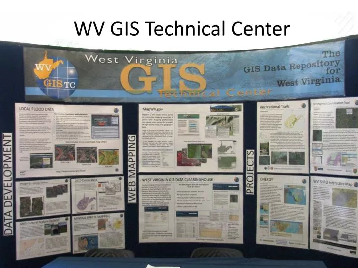
WV GIS Technical Center. Mission. Provides focus, direction and leadership to users of GIS in West Virginia Geographic Information Network Services Technical Support, Educational, & Training Services Assist with Standards Development Mapping Projects and Applications

E N D
Mission • Provides focus, direction and leadership to users of GIS in West Virginia • Geographic Information Network Services • Technical Support, Educational, & Training Services • Assist with Standards Development • Mapping Projects and Applications • Build and disseminate State’s Spatial Data Infrastructure
GIS Staff L to R: Corey Schafer (programmer), Kevin Kuhn (analyst), Xiannian Chen (programmer), Trevor Harris & Greg Elmes(co-directors & geography professors) , Eric Hopkins (analyst), Evan Fedorko(analyst), Frank Lafone(tech lead), Kurt Donaldson (manager)
2012 Summer Interns Andrew Kaufman Ben Baker Tyler Wylie Corey Schafer Clinton Davis Jessica Brewer Lucian Stewart Tim Bishop Jessica DeWitt
Computer Infrastructure • 2 Node VM Cluster • 96 GB RAM • 2 six core processors • 120 TB storage • Bandwidth • 1 gbit to building • 300 mbit from college
GIS Base Layer Development Framework Data WVGISTC Websitehttp://www.wvgis.wvu.edu/resources/resources.php?page=dataProductDevelopment/baseLayers
Statewide Imagery Statewide Digital Imagery • 1996-99 USGS DOQQ, 1-meter CIR, leaf off • 2003 SAMB, 2-ft natural color, leaf off • 2007 USDA NAIP, 1-meter, leaf on, natural color & CIR • 2009 USDA NAIP, 1-meter, leaf on, natural color • 2011 USDA NAIP, 1-meter, leaf on, natural color & CIR • 2010-12 WV Sheriff Association (Pictometry), 1-ft (4” urban areas) natural color, mostly leaf-off, oblique and orthogonal imagery, license restrictions Web Map Services (Viewing Only) WV DEP: http://tagis.dep.wv.gov/mapservices2.html WVGISTC: http://services.wvgis.wvu.edu/ArcGIS/rest/services
Mixed Resolution Imagery (Cont.) Statewide Leaf-Off Imagery Mosaic (Best-Available Leaf Off) ** Imagery compiled from county and others sources ** • Bluestone Lake (USACE, 2009) • Cabell County (2009) • Brooke County (2007) • Hancock County (2007) • Monongalia County (2010) • Raleigh County (2011)Some counties make their 6” imagery available in the public domain, other counties for viewing as a Web map service only. WVGISTC Web Map Service Web: http://services.wvgis.wvu.edu/ArcGIS/rest/services ArcMap: services.wvgis.wvu.edu/ArcGIS/services
Mixed Leaf-Off Imagery High resolution (usually 6”) imagery for Charleston, Huntington, Morgantown, and Weirton areas incorporated into SAMB 2003 statewide leaf-off imagery Recently Received a Broadband Grant to Update Best Leaf-Off Imagery Service
Display of High-Resolution data inWeb Map Services (1:282 Scale) • 2’ foot contours • 4” imagery
Parcels Availability for Web Map Service Surface tax parcels provided by counties For viewing purposes only
Geographic Names Updated • arenas • auditoriums • bridges • cemeteries • city and town halls • convention and conference centers • courthouses • fire stations • golf courses • hospitals • libraries • museums • police stations • post offices • prisons • schools • shopping centers • stadiums • summits • theaters USGS funding updated 20 GNIS cultural feature classes, including 3,773 features identities
NHD Steams Updated in Mined Areas • Mined area with effected streams marked (red) • 2,000 High Resolution NHD features with an estimated length of 800 miles have been impacted by surface mining and require editing.
Questions??? Kurt Donaldson WV GIS Technical Center kdonalds@wvu.edu (304) 293-9467