Download
1 / 38
380 likes | 479 Views
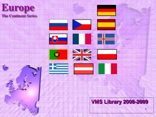
Europe The Continent Series. VMS Library 2008-2009. Satellite View. Longitude / Latitude. Europe’s Latitude vs. US. 3,800 square miles. Regions. Northern Peninsulas. Scandinavian Peninsula. Jutland Peninsula. Southern Peninsulas. Crimean Peninsula. Iberian Peninsula. Italian Peninsula.

E N D
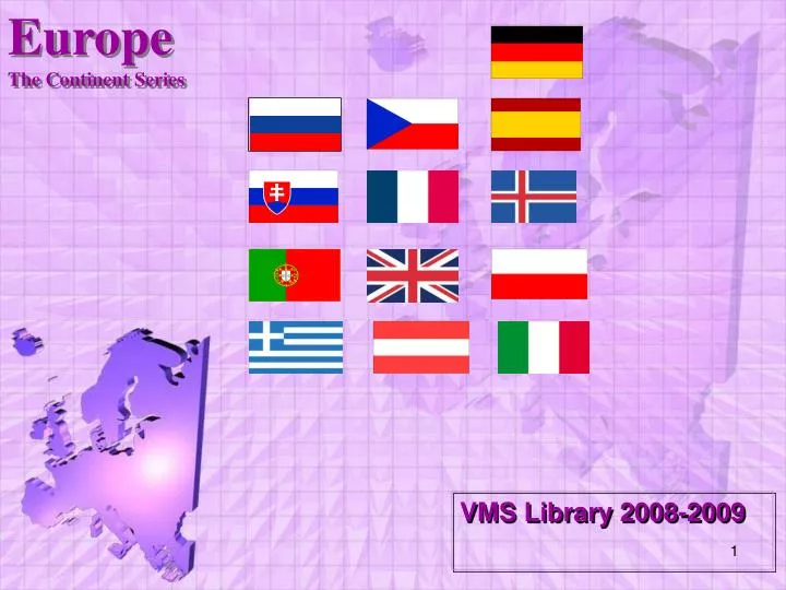
EuropeThe Continent Series VMS Library 2008-2009
Northern Peninsulas Scandinavian Peninsula Jutland Peninsula
Southern Peninsulas CrimeanPeninsula Iberian Peninsula Italian Peninsula Balkan Peninsula AnatoleanPeninsula
Mediterranean Sea: Strait of Gibraltar & the“Pillars of Hercules” 2,400 miles long & 1,000 miles wide “Crossroads of 3 Continents”
Rivers Po R. Tiber R.
The Danube River 1770 miles
The Danube River Where Buda & Pest Meet Flows through the12 countriesof Germany, Austria, Slovakia, Hungary, Serbia, Croatia, Bosnia and Herzegovina, Slovenia, Bulgaria, Romania, and the Ukraine.
The Alps Cover most of Switzerland, Austria, and parts of Italy and France.
Mt. Blanc in the Alps Highest mountain in the Alps: 15,771 feet
Ural Mountains:The Great Divide 1500 miles Divides the European and Asian sections of Russia.
The BENELUX Countries Belgium Netherlands Luxembourg
NorwegianFjords Glaciers cut deep valleys in the ocean during the Ice Age.
Reykjavik, Iceland:“The Youngest Oldest Country” Volcanoes Hot Springs Geysers
Mt. Etna, Sicily An active volcano
Siberia --> Permafrost Average temperatures of January vary from 0 to -50°C, and in July from 1 to 25°C 150,000,000 population.
Lake Baikal, Siberia The oldest and deepest lake in the world. 20% of the world’s total unfrozen water supply.
Trans-Siberian Railroad Completed in 1905
Trans-Siberian Railroad The main line runs 5,785 miles.
Arrivederci! Good Bye! Au Revoir! Adios! Cairete! Auf Wiedersehen! Do Svidaniya!
This powerpoint was kindly donated to www.worldofteaching.com http://www.worldofteaching.com is home to over a thousand powerpoints submitted by teachers. This is a completely free site and requires no registration. Please visit and I hope it will help in your teaching.