Download
1 / 50
500 likes | 516 Views
Plate Tectonics. http://www.freewebs.com/morganisrupert/597340[1].jpg. Earth’s Composition. http://pubs.usgs.gov/publications/graphics/FigS1-1.gif. View of Earth. Scientists think about the Earth’s layers in two ways: Composition Physical properties.

E N D
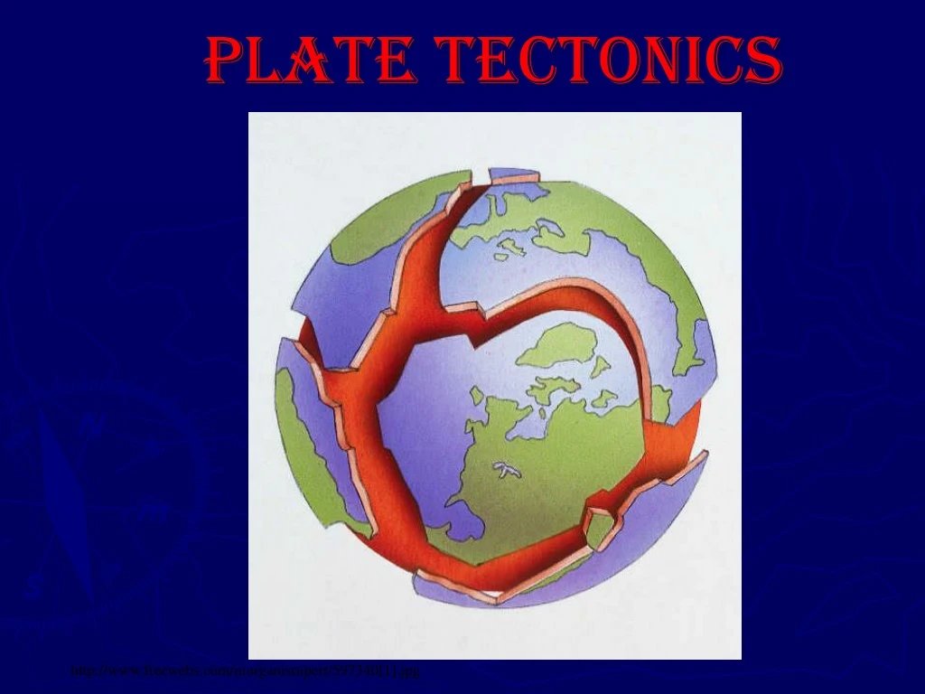
Plate Tectonics http://www.freewebs.com/morganisrupert/597340[1].jpg
Earth’s Composition http://pubs.usgs.gov/publications/graphics/FigS1-1.gif
View of Earth • Scientists think about the Earth’s layers in two ways: • Composition • Physical properties http://www.matter.org.uk/schools/Content/Seismology/earth_core.html
Earth’s Chemical Composition • Crust: outermost layer 2 types: • oceanic crust: • Thickness:Up to 5-8 km thick • composition: mostly basalt • younger rocks • density: approx. 3.0 g/cm3 • Continental crust • thickness: up to 8-75 km (avg: 40 km) • composition: mostly granitic (silicates make up most of crust) • density: approx. 2.7 g/cm3 • older rocks • Mantle • Contains most of Earth’s mass • Core • made of iron, with small amounts of nickel.
Earth’s Physical Properties • Lithosphere(rock sphere) • Outermost rigid layer of earth • Divided into tectonic plates • 2 parts: • Crust • Rigid upper mantle • Asthenosphere(weak sphere) • Soft layer of mantle on which lithosphere move • Soft rock that flows like “putty” • Mesosphere(middle sphere) • Strong lower part of mantle • Extends to from bottom of asthenosphere to the core • Outer Core • Liquid layer • Iron content • Inner Core • Solid, dense iron and nickel
Discontinuity: Seismic waves change velocity • Gutenberg Discontinuity • Boundary between mantle and core • Separates lower mantle (solid) from outer core (liquid) • Mohorovicic Discontinuity • Boundary between crust and mantle • Separates the lower density crust from the higher density mantle
225 Million Years Ago, there was a supercontinent called Pangaea Click: Pangea Animation
Crustal Movement 2. : • The first theory of crustal movement was introduced in 1915 by Alfred Wegener, and was called The Theory of Continental Drift http://www.eoearth.org/files/124901_125000/124947/250px-Wegener3.jpg
Evidence for this Theory • Edges of continents fit together like puzzle pieces • Correlation of rock layers/fossils- Rock layers and fossils found on opposite sides of ocean basins match up • Mountain Chains- Some mountain chains seem to be continuous from continent to continent. • Climateevidence- Ancient climates were different from today. Ex: glacial deposits in tropical regions; coal deposits in Antarctica. • Crustalage- Rocks of the ocean basins are much younger than continental rocks.
Puzzle Pieces that Fit http://pubs.usgs.gov/publications/graphics/apres.gif
FOSSILS http://pubs.usgs.gov/publications/graphics/Fig4.gif
Climate http://volcano.und.nodak.edu/vwdocs/vwlessons/plate_pics/F1.6b.gif
Sea-floor spreading • Sea Floor Spreading: • Theory that states that ocean floors are forming and spreading out from the ridges. • Convection cell: • Driving force for spreading theory. • Hot, molten material from the mantle pushes upward, cools and solidifies at the surface to form new ocean rock. • Currents are created because of density differences in magma.
CONVECTION CURRENTS Click for Convection Cell Animation *10
Evidence for Sea Floor Spreading • Igneous Rocks: • Age of rocks increases as distance from ridge increases • Paleomagnetism: • magnetic patterns are symmetrical (the same) on both sides of the spreading centers. As molten ocean rock cools, the magnetic minerals in the rock align themselves with the Earth’s magnetic field. If the magnetic field is opposite what it is today, the minerals will point to the south magnetic pole. The ocean rocks show that during past history, Earth’s magnetic field has reversed a number of times.
PALEOMAGNETISM – Each side of the Mid-Atlantic Ridge shows the same magnetic reversals. Click for Paleomagnetism Animation Click for Paleomagnetism Video
Plate Tectonics • Plate Tectonics: • Theory that Earth’s lithosphere is divided into tectonic plates that move around on top of asthenosphere. Text Pacific Plate is the largest plate http://www.extremescience.com/graphics/platetecmap.gif
Plate Boundaries All plates have boundaries with other plates Three main types http://geology.csupomona.edu/drjessey/class/gsc101/boundaries.gif
Continental-Continental Convergence • Mountain building • Folded mountains • Thrust-faulted mountains • Both plates are of equal density so they push into each other pushing crust up. http://pubs.usgs.gov/publications/graphics/Fig21contcont.gif
Oceanic-continental convergence • Oceanic plate is more dense, so it sub ducts under the continental crust • Causes trenches • Longest-Peru/Chile • Deepest- Mariana • Place of earthquakes and volcanoes • Called a subduction zone • Destroys crust http://pubs.usgs.gov/publications/graphics/Fig21oceancont.gif
Oceanic/Oceanic Convergent When two oceanic plates collide one plate slides under the other. Volcanoes form on ocean floor Could form volcanic island arc http://www.doeacckolkata.in/Piyali-geography/boundary2.jpg
Convergent Boundary Video • Click: Convergent Boundary Formation
Divergent Plates Rift Valley in Iceland • Plates move away from each other. • Forming • New crust • Mid ocean ridges • Rift valleys • Fissure volcanoes • Flood lavas http://pubs.usgs.gov/publications/graphics/lava_fountains.gif http://pubs.usgs.gov/publicatios/graphics/Fig16.gif
Rift Valleys on Land Land is thinning- eventually will sink/break and fill with water http://www.etravelphotos.com/photos/2003ea/2003ea-001-03s-w.jpg
Divergent Plate Boundaries – Pull Apart Click for Divergent Plate Video http://geology8b-9.wikispaces.com/file/view/d.jpg/88987877/d.jpg
Divergent – Mid-Atlantic Ridge Click: Formation of Ocean Crust Click: Process of Rifting http://geology.wr.usgs.gov/parks/pltec/noaaMidAtlanticRidgeL.jpg
Transform Boundaries • When two plates slide past each other horizontally. • Strike slip faults • San Andreas Fault http://pubs.usgs.gov/publications/graphics/San_Andreas.gif
Summary of Types of Plate Boundaries Click: Summary Video of Plate Boundary Formation Table 2-1, p. 47
Show Animations for Plate Boundaries • Click: Plate Boundary Animations
Hot Spots • Areas that lie farfrom plate boundaries • Magma rises to surface • As plate moves, volcano becomes inactive • Creates volcanic mountains • Hawaii Click: Hot Spot Formation http://www.galapagosonline.com/Galapagos_Natural_History/Geology/HotSpot.jpg
Evidence of Crustal Activity • Deformed Rock Strata • Originally, sedimentary rocks form flat, horizontal layers However, observations made of Earth’s surface indicate that original rock formations have been changed through past Earth movements • This includes • Tilting: Rock layers are found at an angle to their original formation • Displaced fossils: • Shallow water fossils have been found at high elevations, and deep water fossils have been found in shallow water areas. This means the crust has been moved.
Stress (Force) on Rocks http://scign.jpl.nasa.gov/learn/plate5.htm • Compression • Squeezing of rocks as when plates collide • Tension • Forces act to stretch object as when divergent plates move apart • Shear • Causes rock to be distorted https://www.classzone.com/books/earth_science/terc/content/investigations/es1102/es1102page02.cfm http://www.teachengineering.org/collection/cub_/lessons/cub_images/cub_rock_lesson01_fig1.gif
Faulting • Pressure on rock layers causes them to break. • The boundary between the broken layers is called a fault • 3 types of faults http://upload.wikimedia.org/wikipedia/commons/thumb/d/d0/Barns_grand_tetons.jpg/284px-Barns_grand_tetons.jpg
The force of tension causes normal faulting. Normal faulting is when the hanging wall moves downward. This type of faulting is common at divergent plate boundaries. Examples of this type of faulting are the Sierra Nevada mountains and the eastern border of California. 1. Normal http://www.nasa.gov/images/content/65877main_Foot_Hang_Wall.gif
Folding occurs when rock layers in Earth’s crust bend due to stress
2. Reverse • The force of compression causes reverse faulting. • Reverse faulting is when the hanging wall moves up. • This type of faulting is common at convergent plate boundaries. • An example of this faulting is the Rocky Mountains.
Reverse fault -The footwall is on the left. The beds indicate that the hanging wall has risen relative to the footwall.
3. Strike Slip • The force of shearing causes strike-slip faulting. • Movement along this type of fault is not up and down, but sideways. • This type of faulting is common at transform plate boundaries. • Examples of this type of faulting is the San Andreas fault.
Aerial view of right-lateral strike-slip fault, southern Nevada.
Faults! How Do They Move? • Click for Faults Video • Click for Fault Animations
Video Lecture of Stress/ Faults • Click: Video Review of Stesses, Faults and Deformation
Tracking Tectonic Plate Motion • Today scientists use the GPS (Global Positioning System) to track the motion of tectonic plates • We can measure plate movement accurately!
Folding: • Rock layers are warped, or bent as a result of compression • Types of folds • Anticlines: arching up of rocks • Synclines: down-folds or troughs http://marlimillerphoto.com/images/SrD-02LR.jpg
Appalachian Mountains • Formed originally from accumulated sediments • Tectonic processes folded the layered sediments into mountains • Evidence: shallow water fossils in the mountains http://appvoices.org/images/landingpg_mountains4.jpg


