Download
1 / 29
361 likes | 789 Views
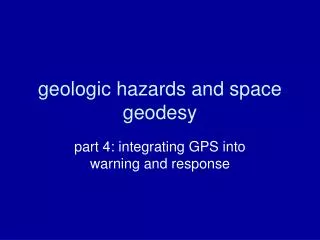
GEOLOGIC HAZARDS. What Planners Need to Know. 2011 Spring Conference Meeting in the Middle. GEOLOGIC HAZARDS AFFECTING SOUTHWESTERN UTAH. William R. Lund Utah Geological Survey Cedar City, Utah. SOUTHWESTERN UTAH’S MOST COMMON GEOLOGIC HAZARDS.

E N D
GEOLOGIC HAZARDS What Planners Need to Know 2011 Spring Conference Meeting in the Middle
GEOLOGIC HAZARDS AFFECTING SOUTHWESTERN UTAH William R. Lund Utah Geological Survey Cedar City, Utah
SOUTHWESTERN UTAH’S MOST COMMON GEOLOGIC HAZARDS • Floods – riverine and flash floods/debris flows • Problem Soil and Rock Expansive soil or rock Collapsible soil Soluble soil or rock Piping Wind-blown sand • Slope Failure Landslides Rock falls • Ground Subsidence • Earthquake Hazards Ground shaking Liquefaction Surface fault rupture
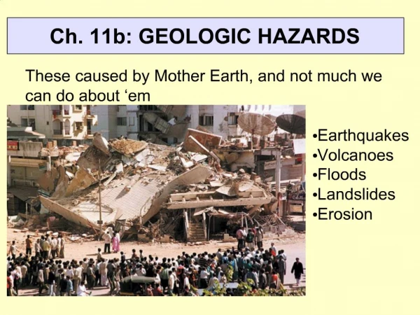
FLOODING Flooding is southwestern Utah’s most frequent and destructive geologic hazard Two types of floods commonly occur in southwestern Utah: (a) riverine floods, and (b) flash floods. Riverine floodsare usually regional in nature, last from hours to days, and typically are confined to the flood plains of perennial rivers and streams. Flash floodsresult from cloudburst thunderstorms, are localized, quickly reach maximum flow, and then just as quickly diminish. Flash floods can occur in any drainage and may transition in to debris floods and debris flows. Numerous major riverine floods have affected southwestern Utah since the area was settled; the most recent were in 1966, 1983, 1984, 2005, and 2010. Flash floods have repeatedly damaged every major town in southern Utah, with the first flash flood recorded in Cedar City in 1853.
PROBLEM SOIL AND ROCK Expansive soil or rock – clay-bearing soil or rock that swells when wetted and shrinks when dried. Chiefly associated with the Petrified Forest Member of the Chinle Formation in southwestern Utah Collapsible soil – soil that has considerable strength in its dry, natural state, but that settles significantly when wetted. Usually associated with young alluvial fans, collapsible soil has caused damage in Cedar City and Zion National Park. Soluble soil or rock– soil or rock containing minerals that dissolve in water, such as calcium carbonate and gypsum, which can cause subsidence and formation of sinkholes. Piping – subsurface erosion of soil or rock by ground-water flow, forming narrow voids. Pipes can remove support of overlying soil and rock, resulting in collapse. Wind-blown sand – Shifting sand moved by wind. May present a hazard to existing structures (burial) or roadways (burial, poor visibility).
EXPANSIVE SOIL AND ROCK Petrified Forest Member Chinle Formation "Blue Clay"
GYPSUM DISSOLUTION Quail Creek Dike Failure
PIPING Pipingoccurs when groundwater percolates to a free face through permeable, fine-grained unconsolidated or semi-consolidated deposits. The percolating water slowly removes silt and fine sand, and forms narrow, subterranean conduits that grow over time both in diameter and length until they finally collapse.
SLOPE FAILURE LANDSLIDES–includes slides, spreads, and slow-moving flows. Due to the arid climate in southwestern Utah, spreads and slow-moving flows, which typically depend on a high water content to mobilize, are rare, and as a result the landslide category in southern Utah consists almost exclusively of rotational or translational slides and slumps. ROCKFALL- is a natural mass-wasting process that involves the dislodging and downslope movement of individual rocks and small rock masses. Rock falls are a hazard because a large boulder traveling at high speed can cause significant damage. Rock falls are the most common form of mass wasting (slope failure) in southwestern Utah.
GROUND SUBSIDENCE Ground subsidence (aquifer compaction) due to ground-water pumping in excess of annual recharge is becoming an increasing problem in some southwestern Utah valleys. First identified in 2005 in the Escalante Valley when erosion by floodwaters revealed four earth fissures near the small community of Beryl Junction. Since then, active earth fissures also have been identified in Cedar Valley where one fissure trends through a new subdivision displacing curb and gutter, cracking asphalt, and reversing the flow direction on sewer lines. Additional fissures have been identified north and west of Quichapa Lake on the west side of Cedar Valley. Although still comparatively small and causing little current damage in Utah, earth fissures related to ground-water withdrawal in Nevada, Arizona, and California have destroyed homes and businesses and extensively damaged roads, canals and dams causing $100s of millions in damage.
EARTHQUAKE HAZARDS • Surface faulting – propagation of an earthquake-generating fault rupture to the ground surface, displacing the surface and forming a fault scarp. • Ground Shaking –shaking or vibration of the ground during an earthquake. • Liquefaction – sudden, large decrease in shear strength of a saturated, cohesionless soil (generally sand, silt) caused by a collapse of soil structure and temporary increase in pore water pressure during earthquake ground shaking. Liquefaction may induce ground failure, including lateral spreads and flow-type landslides.
INTERMOUNTAIN SEISMIC BELT Map of the Intermountain seismic belt showing the largest historical earthquakes in southwestern Utah; the ~M 6 Pine Valley earthquake in 1902 and the M 5.8 St. George earthquake in 1992.
ACTIVE FAULTS IN SW UTAH Parowan Panquitch Cedar City Hurricane fault Quaternary faults in southwestern Utah Sevier fault St. George Washington fault Kanab From Quaternary Fault and Fold Database and Map of Utah (Black and others, 2003)
SURFACE FAULT RUPTURE Fault Scarp Near Cedar City Washington Fault Fault
GROUND SHAKING - LIQUEFACTION Earthquake ground shaking Utah Liquefaction along the Virgin River Earthquake ground shaking China Liquefaction in Japan
http://geology.utah.gov/ • UGS • Conducts geologic hazard studies • Disseminates geologic/hazards information • Assists with geologic hazard ordinance preparation. • Makes limited consultant report reviews. • Responds to emergencies.
CONTACTS William Lund or Tyler Knudsen Utah Geological Survey – Southern Regional Office 88 East Fiddler Canyon Road, Suite C Cedar City, UT 84721 435-865-9034 (Lund) 435-865-9036 (Knudsen) billlund@utah.gov tylerknudsen@utah.gov UGS webpage www.geology.gov