Download
1 / 16
160 likes | 176 Views
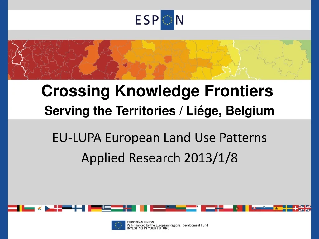
Crossing Knowledge Frontiers Serving the Territories / Liége, Belgium. EU-LUPA European Land Use Patterns Applied Research 2013/1/8. Consortium. EU-LUPA Project aim.

E N D
Crossing Knowledge Frontiers Serving the Territories / Liége, Belgium EU-LUPA European Land Use Patterns Applied Research 2013/1/8
EU-LUPA Project aim This project is about combining and aggregating land use, land cover and administrative data into meaningful typologies that can be used for policy design at European, national and regional level.
Challenge Changes in land cover in Europe reflect modifications in the uses of land, which often compete for the same resource. Accounting for land cover change in a consistent way at the European scale has been made possible with CORINE Land Cover, covering the period 1990, 2000 and 2006. However, land use and land use change in Europe have been mainly addressed from a thematic perspective. There is a need to integrate different sector views, realizing that land-use characteristics are becoming increasingly multi-functional, crossing not only sectors but also administrative boundaries, and thereby becoming more demanding in relation to background information and institutional and administrative structures.
Challenge (2) • Given the complexity of process that drives land uses and land use changes, a complete understanding requires consistent framework for integration of scales and themes which currently is lacking. Understand the complexity of the interactions between the multiple uses of land, their temporal and spatial changes is seen crucial to analyse the significance that policies might have on steering those changes towards sustainability.
Project Objectives • - Analyse comparable information about European regions and cities, based on already availabledata from different sources and at different levels, in order to • Supply regionalised information integrating physical dimension (land cover) with socio-economic (land use) and environmental • - Understand and obtain a clear view on land use dynamics, land use changes and current land use patterns in the European territory, • - Identify main challenges and related drivers in different types of territories, regions and cities by means of their territorial efficiency and • - Define the policy options and recommendations to cope with these challenges
Working approach • What are the main characteristics of ongoing changes in land use characteristics and land use patterns? • To what extend and how are changes in land use patterns interacting with ongoing urban and socio-economic developments? • How can typologies reflect on both levels of change, i.e. the physical characteristics of land use patterns, and the dynamics behind these changes? • Are the trends sustainable, and to what extent will the ongoing changes compromise future developments?
Project Structure Territorial Performance Characterization L.U. Efficiency Task 2.5 Policy options and Recommendations (Tecnalia) Task 2.1 Data assessment and management (UAB) Task 2.2 Characterization of Land uses in Europe (Nordregio) Task 2.3 Performance evaluation and land use efficiency (Alterra) • Land use efficiency • Indicators • Macro European • Indicators (Goteborg/ Lisbon) • Evaluation per typology • Land cover data • Socio-economic and • Environmental data • Land Use Dynamics/ • Challenges/ Functionality • Clustering of Regions • Policies as drivers • Experts consultation • Guidelines/response Feedback Policy options per typology Policy recommendations based on evidence Task 2.4 Case Studies (IGSO)
Specific regions (mainly cross-border) Detailed multifunctionality Land use/cover (stock) Land use/cover changes (1990-2006) Urban sprawl Typologies Drivers Socio-economic Accessibility Planning Land Use Functions Performance LU Efficiency Methodological Approach Task 2.2 Characterisation and typologies Task 2.1 Data assessment and management Demography Task 2.4 Case studies Macro indicators Socio-economic Environment Task 2.3 LU performance & efficiency Task 2.5 Policies
Drivers: conceptual J. Fons (ESPON-FOCI)
Specific regions (mainly cross-border) Detailed multifunctionality Land use/cover (stock) Land use/cover changes (1990-2006) Urban sprawl Typologies Drivers Socio-economic Accessibility Planning Land Use Functions Performance LU Efficiency Methodological Approach Task 2.2 Characterisation and typologies Task 2.1 Data assessment and management Demography Task 2.4 Case studies Macro indicators Socio-economic Environment Task 2.3 LU performance & efficiency Task 2.5 Policies
Land use efficiency EEA 2009
Specific regions (mainly cross-border) Detailed multifunctionality Land use/cover (stock) Land use/cover changes (1990-2006) Urban sprawl Typologies Drivers Socio-economic Accessibility Planning Land Use Functions Performance LU Efficiency Methodological Approach Task 2.2 Characterisation and typologies Task 2.1 Data assessment and management Demography Task 2.4 Case studies Macro indicators Socio-economic Environment Task 2.3 LU performance & efficiency Task 2.5 Policies
Land Use Functions Alterra
Expected results of the Project • Geodatabase of land use information in EU • Characterization of land use in EU : In depth assessment of land use dynamics • Definition of Regional typologies in Europe based on land use dynamics as a result of a clustering exercise and production of maps with European coverage. • Assessment of territorial performance and related land use efficiency • Guidelines for Policy Recommendations for spatial development based on land use patterns in Europe in view of regional specificities
Questions to be addressed during the workshop New facts and results which would have the highest relevance for current policy development How and where can these results be used in an operational way in support to the European 2020 Strategy aims of smart, sustainable and inclusive growth and territorial cohesion? • Which strategic linckages can be identified between the projects presentetd in the workshop?: • Previous espon project results/ typologies for instance • ESPON Climate • ReRisk • - FOCI • - EDORA