Download
1 / 14
140 likes | 258 Views
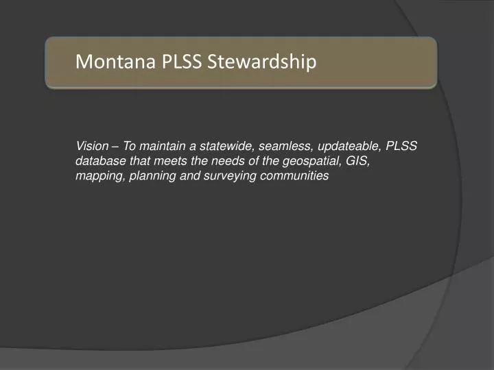
Montana PLSS Stewardship. Vision – To maintain a statewide, seamless, updateable, PLSS database that meets the needs of the geospatial, GIS, mapping, planning and surveying communities. What PLSS stewardship is not about. Not a surveying vs. GIS thing Not a hostile takeover

E N D
Montana PLSS Stewardship Vision – To maintain a statewide, seamless, updateable, PLSS database that meets the needs of the geospatial, GIS, mapping, planning and surveying communities
What PLSS stewardship is not about • Not a surveying vs. GIS thing • Not a hostile takeover • Not really asking permission – this has to be done
Why did Montanachoose the GCDB as a Foundation? • The GCDB is a computed spatial representation of the PLSS created from survey records and geodetic control information • Shows Special Surveys: Mineral and Homestead Surveys • In areas where additional spatial accuracy is needed, survey control can (could) be updated or new control added and the GCDB re-calculated • Consistent with original project description – “………….This database will be the best possible representation of land parcels that is practical and affordable now, with a built in growth path for improvability in the future.” ……. 1996
What has changed? • CadNSDI is now the federal publication version of GCDB • CadNSDI is a GIS product lacking GIS skills to manage it • Census to use CadNSDI for PLSS boundaries • Raw GCDB measurements and coordinate positions are removed from CadNSDI • The sad story of CadNSDI_2 • Edge-match errors • Point ID changes • QA/QC issues • Federal turn-around time painfully slow • Bottom line is that BLM will not be able to maintain this product to meet Montana needs in the future
Horizontal Change in Meters Horizontal Change in GCDB Control Points between 2005 and 2010
Distance of Adjustment (in Feet) Yellowstone County: 2010 GCDB Adjustment
GCDB Control Points used in Parcel Adjustment – Red (2009) Blue (2010) GCDB Adjustment Script uses Point Location IDs to Establish Spatial Links
Public Land parcels are adjusted to the most current GCDB (coincident with the cadastral parcels in all counties)
Administrative Boundaries are another feature class adjusted to the most current GCDB (also coincident with the cadastral parcels in all counties)
The Bureau of Land Management collected survey control points in almost 300 townships in 2010 and 2011 using ARRA funds. Plus, in 2012 control was collected in Missoula, Gallatin and Park counties. This will result in a major GCDB readjustment that will be known as MT CadNSDI 2.0 • The feature classes in the cadastral framework impacted by the GCDB adjustment include the tax parcels, public lands and conservation easements. In addition, all statewide boundary themes will require adjustment. Approximately one third of the state will be impacted MT CadNSD2.0
Solutions • State stewardship – we shouldn’t expect federal stewardship of this anymore based on budgets and available staff • Resources – some we already have some, we will need more • A GIS based maintenance workflow • Esri state/local solutions team to partner with Montana to find a solution • Continued partnerships that establish stewardship boundaries (if needed) and freely flowing coordinate information