Lancaster County GIS Projects
Lancaster County GIS Projects. 2012 Aerial Photos Cooperative project with NGA and USGS leveraged about $70,000 of Federal Funds Lancaster County provided CWC funded $48,700 Captured 3/28 to 4/3/2012 Staff performed a QC review and new aerials were accepted on 3/11/13

Lancaster County GIS Projects
E N D
Presentation Transcript
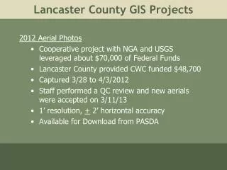
Lancaster County GIS Projects 2012 Aerial Photos • Cooperative project with NGA and USGS leveraged about $70,000 of Federal Funds • Lancaster County provided CWC funded $48,700 • Captured 3/28 to 4/3/2012 • Staff performed a QC review and new aerials were accepted on 3/11/13 • 1’ resolution, + 2’ horizontal accuracy • Available for Download from PASDA
Lancaster County GIS Projects LULC Layer Uses • Growth Tracking Analysis • Growth management analysis • Clean and Green analysis – Ag land preferential assessment program. • Stormwater modeling • Growth management analysis • General Plan Review • Available for Download from PASDA
Lancaster County GIS Projects Planimetric Data Updates • Buildings • Pavement
Lancaster County GIS Projects Planimetric Data Updates
Lancaster County GIS Projects Planimetric Data Updates
Lancaster County GIS Projects Planimetric Data Updates
Lancaster County GIS Projects Land Use Land Cover Update • Completed in-house since 2001 • 1,846 LULC edits were made