Download
1 / 16
160 likes | 320 Views
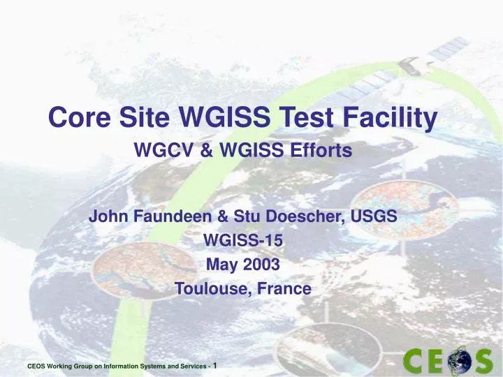
Core Site WGISS Test Facility WGCV & WGISS Efforts John Faundeen & Stu Doescher, USGS W GISS-15 May 2003 Toulouse, France. Background. September 2001 proposal via WGCV (Yves-Louis Desnos) WGISS-13 Discussions (Peter Churchill) Spring of 2002 – USGS agrees to sponsor a WTF

E N D
Core Site WGISS Test Facility WGCV & WGISS Efforts John Faundeen & Stu Doescher, USGS WGISS-15 May 2003 Toulouse, France
Background • September 2001 proposal via WGCV (Yves-Louis Desnos) • WGISS-13 Discussions (Peter Churchill) • Spring of 2002 – USGS agrees to sponsor a WTF • The WTF plan discussed at … • WGCV Ottawa Meeting (May 2002) • WGISS Frascati Subgroup (May 2002) • WGISS Alexandria Subgroup (Sept. 2002) • The WGCV/WGISS WTF plan approved 15 October 2002 • edcsgs16.cr.usgs.gov/wgiss/ • username = calval99 password = wgiss03
Objectives · * Establish linkages between site data archives to facilitate improved product access and knowledge assessments of the long-term stability and interoperability to address the challenges of the Terrestrial Carbon Observation (TCO) theme. * Ramp-up validation efforts, leveraging off of the infrastructure and protocols developed through existing site activities, · * Address science questions suitable for combined field and multi-resolution data. · * Enable ready collaboration between validation investigators and existing science networks and programs. · *Facilitate validation activities directed at better product knowledge and assessment of the products’ stability and interoperability.
Goals: Phase I • Simple, Web-Based Interface Over CEOS Core Sites • Allow Users to Specify Conversion Parameters • Provide Access to EO and in-situ Data • Begin With MODIS & Landsat • Allow Reprojecting • Allow Reformatting into GeoTIFF
Goals Phase II · Incorporate GTOS “Terrestrial Ecosystem Monitoring Sites” · Add CEOP/NASDA, CSIRO, GT-net, ILTERS as Phase II efforts · Enable synergy within and between Satellite/Sensor science teams for data collection and subsequent research · Provide science community with immediate, easily accessible data from CEOS member sensors · Provide a focus for ongoing satellite, aircraft, and ground data collection for validation of CEOS member satellite/sensor products · Provide scientists with sets of readily accessible in-situ and CEOS member instrument data for algorithm validation and improvement · Build on infrastructure of existing scientific networks and validation sites · Realize international cost-sharing opportunities
The WGCV/WGISS WTF Email Notification for User: EMAIL:
Re-Projection Tool Results Boreas Test Site MODIS Data in Sinusoidal Projection Boreas MODIS re-projected from Sinusoidal to Universal Transverse Mercator
NAMING CONVENTIONS: DATA SET NAMES MOD09A1 MODIS/Terra Surface Reflectance 8-Day L3 Global 500m ISIN Grid Grid or not ShortName Instrument Spatial Resolution Platform Global or Swath Parameter Processing Level Temporal Resolution
NAMING CONVENTIONS: FILE NAMES MOD09A1.A2000185.h11v05.003.2000193081710.hdf Julian Processing Data Year, Day, Hour, Minute, Seconds ShortName TileID Julian Acquisition Date Processing Version
Summary • Close to Phase 1 Completion • SPOT Requirements Creep for Vegetation Accommodated • WGCV Happy With Results • CEOS Plenary Demo Planned • November 2003 • Phase II Requirements Captured • June 2003