Download
1 / 36
360 likes | 455 Views
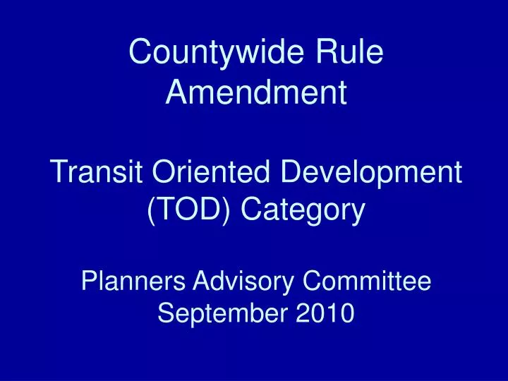
Countywide Rule Amendment Transit Oriented Development (TOD) Category Planners Advisory Committee September 2010. Background. Concept and preliminary draft of Countywide Rule amendment reviewed with local government staff on June 8 th

E N D
Countywide Rule AmendmentTransit Oriented Development(TOD) CategoryPlanners Advisory Committee September 2010
Background • Concept and preliminary draft of Countywide Rule amendment reviewed with local government staff on June 8th • Follow-up individual meetings with local government staff in June • Preliminary draft reviewed with TBARTA and PSTA staff on June 29th
Background • Revised draft reviewed at PAC meeting on July 12th • Advance copy of proposed ordinance sent to PAC members and PSTA and TBARTA staff on August 19th • Proposed ordinance reviewed with PAC today • PPC public hearing scheduled for September 15th
Background The proposed Rule Amendment contains: • Characteristics of TOD category • Required Transit Station Area Plans (TSAPs) • Process by which TOD category is used
Characteristics of TOD Category Plan Classification: • Special Designations Subclassifications: • Transit Corridors • Transit Station Areas
Characteristics of TOD Category Transit Corridor – A linear area which is served by transit, generally extending a quarter-mile in either direction from the centerline of a transit route, which connects transit stations and transit centers. Subclassifications: • Primary Corridors – routes identified by Alternatives Analysis • Secondary Corridors – routes identified by PSTA Enhanced Bus Network
Hypothetical Example of Primary Corridors Based on Alternatives Analysis Results (Locally Preferred Alternative)
Hypothetical Example of Secondary Corridors Based on Enhanced Bus Network
Characteristics of TOD Category Transit Corridor Standards (utilization requires TSAP): • Both Primary & Secondary Corridors • Used as an overlay – modifies underlying Countywide Plan Map categories • Max units per acre and max nonresidential FAR of underlying Countywide Plan Map categories are both permitted (no proportionate share) • Primary Corridors • 25 percent density/intensity bonus
Why address corridor planning? FTA rating guidelines: • “Local agencies should demonstrate substantial progress on developing and adopting the required regulatory changes and incentives necessary to promote transit-supportive land use patterns in the transit corridor and station areas.” -- Federal Transit Administration, Guidelines and Standards for Assessing Transit-Supportive Land Use, p. 16
Why address corridor planning? FTA rating guidelines: • “The transit corridor planning process should include a significant component focusing on land use planning.” -- Federal Transit Administration, Guidelines and Standards for Assessing Transit-Supportive Land Use, p. 20
Why address corridor planning? FTA rating guidelines: • “The supporting factors used to evaluate the transit-supportive corridor policies factor include: • Plans and policies to increase corridor and station area development; • Plans and policies to enhance transit-friendly character of corridor and station area development; • Plans to improve pedestrian facilities, including facilities for persons with disabilities; and • Parking policies.” -- Federal Transit Administration, Guidelines and Standards for Assessing Transit-Supportive Land Use, p. 21
Characteristics of TOD Category Transit Station Area – An area generally encompassing a half-mile radius from the center of a transit station or transit center.
Transit station vs. transit center? • Definitions appear on pages 15 and 16 of proposed ordinance, and were suggested by PSTA • Distinguishes between higher and lower levels of transit service, infrastructure, and amenities (e.g., light rail vs. express bus) • Descriptive only – transit stations and transit centers are treated equally
Characteristics of TOD Category Transit Station Area Subclassifications: * But still denser and more intense than most non-transit-oriented areas of the county
Characteristics of TOD Category Transit Station Area Standards (utilization requires TSAP): • Applicable Corridor Subclassification
Characteristics of TOD Category Transit Station Area Standards (utilization requires TSAP): • Density/intensity requirements are expressed by all-encompassing FAR, which includes both residential and nonresidential square footage * Floor Area Ratio. Maximum FAR may be waived within an eighth-mile radius from the center of a Type I transit station area
Characteristics of TOD Category Transit Station Area Standards (utilization requires TSAP): • Additional recommended targets for residential density included as a guideline * Units per acre
Characteristics of TOD Category Transit Station Area Standards (utilization requires TSAP): • Comparison to TBARTA typologies included as a guideline
Why not just use TBARTA typologies? • Smaller number of broader categories creates a more flexible countywide framework • Allows tailoring at the local level to meet the needs of each community • Recognizes the diverse local TOD planning efforts already underway – while demonstrating to FTA that we are coordinating our planning
Characteristics of TOD Category • TOD category can be used as either an overlay or a category in transit station areas • Must be an overlay in transit corridors
Characteristics of TOD Category Transit Station Area Standards (utilization requires TSAP): • When used as TOD category, permitted uses are limited to those allowed in the Residential, Mixed Use, Commercial, and Public/Semi-Public Plan Classifications • When used as an overlay, uses are guided by underlying Countywide Plan Map categories
Used as Category in Transit Station Area Used as Overlay in Transit Station Area Remains as Overlay in Transit Corridor
Required Transit Station Area Plans • Transit Station Area Plans (TSAPs) are the means by which local governments will customize TOD planning for their communities • Transit station area planning is required to win FTA funding • Topics and strategies to be addressed are based on TBARTA guidance
Required Transit Station Area Plans Refers to Countywide Plan Position Statements/Strategies: • 4.1: Improved transit options • 4.2: Transit station area planning • 4.3: Densities and intensities to support transit • 4.4: Building and site design in transit station areas • 4.5: Streetscapes in transit station areas • 4.6: Open space in transit areas • 4.7: Multimodal street design • 5.3: Pedestrian/bicycle planning in transit station areas • 7.2: Parking in transit station areas • 14.3: Transit-related economic development
Why refer to the Countywide Plan? • TBARTA’s guidance on meeting FTA requirements is copied verbatim in the Countywide Plan position statements and strategies • Easier to refer to relevant sections of Countywide Plan than reprint or paraphrase • Accepted TOD best practices – what communities need to do to win federal funding and create successful transit systems
Required Transit Station Area Plans • A TSAP must address at least one transit station area (generally ½ mile radius from transit station or transit center) • A TSAP may also address transit corridors that extend outside of the transit station area • Can extend to other transit station areas
Required Transit Station Area Plans • Less rigorous review process than Special Area Plans • Sufficiency rather than approval • Allows flexibility for local TOD planning
Required Transit Station Area Plans Change to language in proposed ordinance to clarify intent (p. 14): 4.2.7.7.5. Local Action Required. Following the PPC staff’s sufficiency review, the transit station area plan shall be approved, and corresponding amendment(s) to the local future land use map shall be made, by official action of the legislative body of the local government.
Process for TOD Category Use Step 1 • Initial amendment of Countywide Plan Map will be based on results of Alternatives Analysis (Primary Corridors) and PSTA Enhanced Bus Network (Secondary Corridors) • Initial overlay will be placed: • ¼ mile distance from transit corridors • ½ mile radius from transit stations or centers • But TOD category standards cannot be used until a TSAP is adopted by the local government
1/2 Mile 1 Mile Hypothetical Example of Initial Transit Station Area and Transit Corridor
Process for TOD Category Use Step 2. Local governments will prepare TSAPs Step 3. Local governments will submit TSAPs to PPC for sufficiency review Step 4. Local governments will adopt TSAPs and amend local FLUMs • Anticipated that ¼ and ½ mile distances will be altered based on parcel lines and local context which will refine boundaries of TOD category Step 5. TSAP received/accepted; TOD boundaries adjusted on Countywide Plan Map – not a map amendment
Hypothetical Example of Adjusted Transit Station Area and Transit Corridor