Download
1 / 24
240 likes | 374 Views
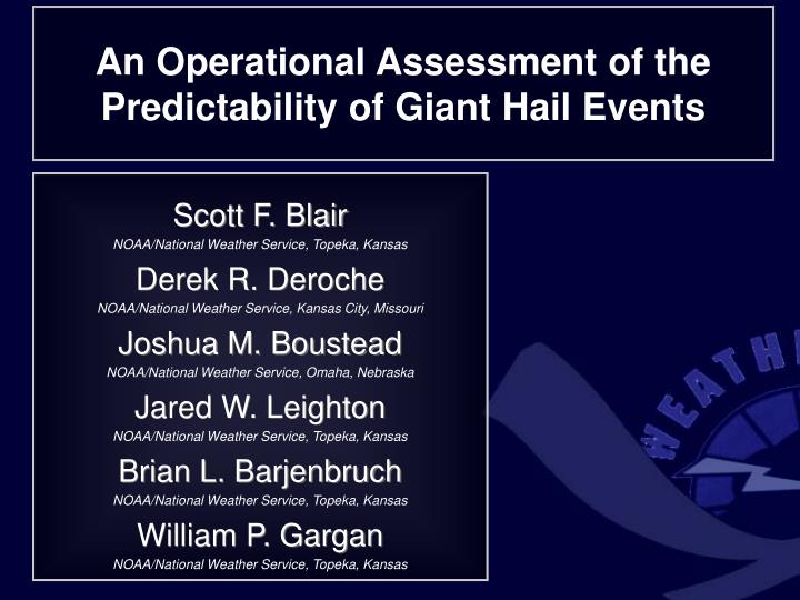
An Operational Assessment of the Predictability of Giant Hail Events. Scott F. Blair NOAA/National Weather Service, Topeka, Kansas Derek R. Deroche NOAA/National Weather Service, Kansas City, Missouri Joshua M. Boustead NOAA/National Weather Service, Omaha, Nebraska Jared W. Leighton

E N D
An Operational Assessment of the Predictability of Giant Hail Events Scott F. Blair NOAA/National Weather Service, Topeka, Kansas Derek R. Deroche NOAA/National Weather Service, Kansas City, Missouri Joshua M. Boustead NOAA/National Weather Service, Omaha, Nebraska Jared W. Leighton NOAA/National Weather Service, Topeka, Kansas Brian L. Barjenbruch NOAA/National Weather Service, Topeka, Kansas William P. Gargan NOAA/National Weather Service, Topeka, Kansas
“Severe” Hail 1 inch diameter (25 mm) “Significant” Hail 2 inch diameter (51 mm) “Giant” Hail 4 inch diameter (102 mm)
A sample of giants this decade… 2003 2004 2006 Aurora, NE (7.0”) Meadville, MO (6.0”) Searcy, AR (5.5”) 2007 2010 2010 Dante, SD (6.9”) Vivian, SD (8.0”) Wichita, KS (7.8”)
Overview • Giant hail infrequent phenomenon – less than 1% of US hail reports • Likely underrepresented in Storm Data (rural areas, lack of widespread aggressive spatial verification) • These high-end events have potential to cause extreme damage to property and a substantial threat to exposed life • Media/EM partners take additional actions when giant hail imminent (‘severe’ not created equal) • Operational prediction of giant hail (size in general) has been challenging • Need to determine the predictability of giant hail -and- if possible, improve advanced recognition of these events • Sample benefits from investigating known upper threshold • hail-fall character to establish signals Where are we at operationally?
Giant Hail Reports: 1 January 1995 – 31 December 2009 Domain: 17 states within central contiguous United States accounting for 89% CONUS reports (638 /715) Point Density Map Output: 0.5o x 0.5o Radius: 1o per report Max value = 11 reports Reports from Storm Data
4”+ Hail Climatology Within Domain Events by Month 82% April–July 55% May and June Reports by Hour 84% 2 PM–9:59 PM CST 58% 4 PM–7:59 PM CST
Watch Product THE NWS STORM PREDICTION CENTER HAS ISSUED A TORNADO WATCH FOR PORTIONS ABC. TORNADOES...HAIL TO 4.0 INCHES IN DIAMETER...THUNDERSTORM WIND GUSTS TO 70 MPH...AND DANGEROUS LIGHTNING ARE POSSIBLE IN THESE AREAS. Warning Product • * AT 800 PM CDT...NATIONAL WEATHER SERVICE DOPPLER RADAR INDICATED A SEVERE THUNDERSTORM CAPABLE OF PRODUCING GRAPEFRUIT SIZE HAIL. • LARGE DESTRUCTIVE HAIL WILL OCCUR WITH THIS STORM. FOR YOUR SAFETY MOVE INDOORS NOW...AND STAY AWAY FROM WINDOWS. • LAT...LON 3966 9579 3966 9601 3977 9598 3979 9597 3983 9578 • TIME...MOT...LOC 2315Z 272DEG 14KT 3973 9591 • WIND...HAIL 60MPH 4.00IN
Forecasted Maximum Hail Size (2005-09) SPC Watches NWS Warnings/SVS 201 reports reviewed 16 forecasts 4”+ (8%) Avg. underestimated size: 1.64 in 54% TOR-Watches (108/201) 128 reports reviewed 9 forecasts 4”+ (7%) Avg. underestimated size: 2.13 in 24% TOR-Warned (44/186)* • 20% NWS warnings forecasted penny-quarter sized hail • Most NWS tornado warnings contained no hail size information • NWS tendency to use golf ball (1.75”) or baseball (2.75”) to convey ‘large hail’
Environmental Data • 479 Unique Giant Hail Events from 1 Jan 1995 to 31 Dec 2009 • Unique Event: A giant hail report > 100 km from surrounding reports • and/or reports separated > 3 hours • North American Regional Reanalysis (NARR) data obtained from NCDC NOAA National Operational Model Archive and Distribution System (NOMADS) website. • NARR dataset 32 km, 3 hourly regional reanalysis for North America • Used the closest available dataset to the hail report time • Parameters investigated:
Moderate Deep Layer Shear • 0-6 km Bulk Shear: ~35-50 kts • Supportive of supercell structures • Vertical pressure gradient forces within storm can lead to significant updraft accelerations • Speeds greater than assumed maximum updraft strength due to buoyancy alone (CAPE) • May play a vital role in potential for giant hail production (when other parameters supportive)
WSR-88D Radar Data • 573 Reports with available radar data from 1 Jan 1995 to 31 Dec 2009 • 1-2 radar sites nearest to lat/lon report selected • Radar data downloaded from NCDC Hierarchical Data Storage System • Examined data 15 minutes prior to and 5 minutes post report time • QC Storm Data report times and location • time frequently incorrect (132 corrected – 23%) • Radar data interpolated, then paired with environmental data Parameters investigated:
496 # of cases: 540 556 443 208 26
530 # of cases: 560 567 565 Hail Growth Zone > 60 dBZ (Median: 66 dBZ)
------------------------------------ ----------------------- • Tight clustering of reports, general increase in 50 dBZ echo height as MLT increases • 50 dBZ echo height > 30,000 ft • 4”+ hail uncommon with MLT < 10,000 ft (function of updraft strength)
0.75”-1” diameter hail 4”+ diameter hail Donavon and Jungbluth (2007) Fig. 2 • Higher 50 dBZ echo height produced larger hail • Strong confidence for ‘severe’ hail, but… • 50 dBZ echo height vs. MLT questionable indicator of 4”+ hail size alone • Melting effects are less for giant hail due to surface area • Supercell structures displace giant hail away from main precipitation core
Maximum Reflectivity • Max column reflectivity > ~65 dBZ • ‘Extreme’ dBZ values unnecessary • Independent of time of year/melting level Max dBZ From 573 cases
Digital VIL and VIL Density • Documented issues correlating legacy VIL/VILD to hail size • Confidence may increase when DVIL>100 kg/m-2and VILD>7 kg/m-3 GR2AE caps DVIL at 127 GR2AE caps VILD at 13
From 573 cases Three-Body Scatter Spike • Radar microwave scattering artifact associated with large hydrometeors frequently considered good signal for “very large hail” (NOAA WDTB 2002) TBSS 37% (212) No TBSS 63% (362) • Occasionally… • Downrange echoes masked TBSS signature • TBSS existed outside the 15/5 study period Structure Characteristics From 518 cases Anti- cyclonic 10% (52) • 99% reports associated with isolated or embedded supercells • Persistent mid-level mesocyclone • Presence of WER or BWER Cyclonic 89% (461)
Rotational Velocity -------------------------- 30,000 ft -------------------------- 10,000 ft Moderate/Strong Mesocyclone Vr > ~40 kts between 10,000-30,000 ft • Strong mesocyclone within the preferred hail growth region • With buoyancy (CAPE) and storm structure information, infer updraft strength from Vr to support giant hail potential Vr = (|Vmin| + |Vmax|) / 2 Vr Diameter < 5 nm
Storm-Top Divergence • Strong divergent flow at • summit of convection, previous • attempts to correlate hail size • STD > 100 kts associated • with giant hail events • Doesn’t appear to be good indicator of giant hail alone STD From 428 cases RDA
Giant Hail vs. Large Hail • Strong updraft and semi- organized structure necessary • 67 Reports from 2010 • 72% classified as supercell
Conclusion • Environmental conditions serving as a sole predictor of giant hail size appears limited • Need sufficient instability (MUCAPE ~1500-3000+ J/kg), moderate deep layer shear (0-6 km bulk shear ~35-50 kts), and favorable vertical temperature profile • WSR-88D data provides increased confidence in identifying giant hail when the following parameters are present • Supercell storm (WER/BWER common) • 50 dBZ height ~35,000 to 45,000 ft • 60 dBZ height ~30,000 to 40,000 ft • Hail growth zone >60 dBZ (median 66) • Max column reflectivity ~69 dBZ • Storm-top divergence ~125-175 kts • Rotational velocity ~40-60 kts Difficult to cross-check ‘null cases’ due to limited spatial verification (4”+ diameter hail likely underreported in supercells) Provide improved recognition of ‘high-end’ hail events, resulting in more accurate hail size forecasts in convective warnings Acknowledgements George Phillips (NWS Topeka)