Download
1 / 9
90 likes | 193 Views
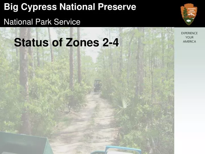
Status of Zones 2-4. Zone 2- “ only swamp buggies and all-terrain cycles would be allowed on the approximately 10 miles of designated primary trails, after they were designated.” Monroe South (8/13/04) – Approximately 5.95 miles of trail have been designated for use by ATCs and Swamp Buggies.

E N D
Zone 2- “only swamp buggies and all-terrain cycles would be allowed on the approximately 10 miles of designated primary trails, after they were designated.” • Monroe South (8/13/04) – Approximately 5.95 miles of trail have been designated for use by ATCs and Swamp Buggies.
Zone 3- “swamp buggies, all-terrain cycles, and airboats would be allowed on approximately 25 miles of designated primary trails, after they were designated.” • Sig Walker Strand – Approximately 10 miles of trail currently exists and is used by one land owner for access. Designation is pending.
Paces Dike (8/13/04) – Approximately 2.93 miles of trail have been designated for use by ATCs and Swamp Buggies.
Zone 4- “only airboats would be allowed, and then only on designated primary trails.” • Approximately 57.7 miles of Zone 4 Primary Trails have been designated since early in the implementation of the ORV Plan. The ORV plan does not allow for secondary trails in Zone 4.
In response to user input regarding difficulty in accessing some areas in Zone 4 via the designated trails we embarked on a re-evaluation of the existing Trail system there in 2006/7, while simultaneously reviewing trails in the Bear Island Unit. To date the following have been completed:
Conducted a public meeting to identify destinations and prospective, existing trails that could be used to link them. • Ground-truthed these trails, preliminarily evaluating them with respect to sustainability and other factors specified in the ORV Plan.
Created preliminary trail routing alternatives for further consideration and analysis by staff.
Suspended further consideration of project pending resolution of law suit regarding trail re-routing in the Bear Island Unit.