Download
1 / 22
220 likes | 393 Views
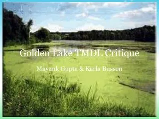
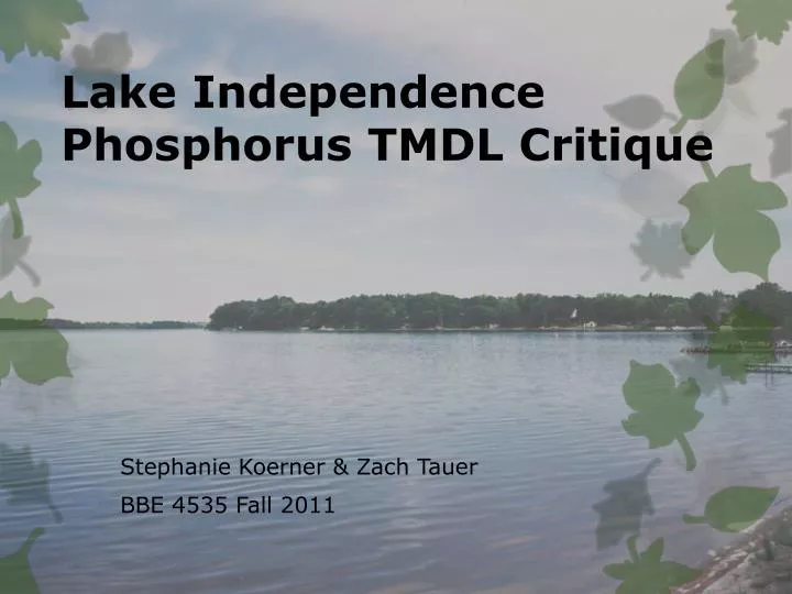
Lake Independence Phosphorus TMDL Critique. Stephanie Koerner & Zach Tauer BBE 4535 Fall 2011. Watershed Description. Pioneer-Sarah Creek Watershed 851 – acre lake / 7631 – acre watershed North Central Hardwood Forest ecoregion Deep lake – max depth: 58ft

E N D
Lake Independence Phosphorus TMDL Critique Stephanie Koerner & Zach Tauer BBE 4535 Fall 2011
Watershed Description • Pioneer-Sarah Creek Watershed • 851 – acre lake / 7631 – acre watershed • North Central Hardwood Forest ecoregion • Deep lake – max depth: 58ft • 15 miles West of Minneapolis • Uses: • Recreation • Aesthetic viewing • Contains portion to Municipalities • Medina • Independence • Loretto
Watershed Shoreline • Receives 7,631 acres of runoff • Uses of shoreline: • Agriculture • Commercial • Park and Recreation • Residential • 298 animal units are on the shoreline, mostly of Horses on Single Family Property.
History of Watershed • Prior to 1850 the surroundings were predominantly Forests and Wetlands. • July 4, 1854 settlers found the lake giving it’s name Lake Independence for the day it was found. • Area slowly developed with lakeshore homes and agriculture • Drainage systems were then put in place which drastically changed the hydrologic system • Recently seasonal lake homes on the lake were converted to year round homes
Water Quality • Monitored biweekly from 1990 except in 1992 • Phosphorus and chlorophyll data show no significant trends of improving or declining since 1990 but Secchi disk data showed a reduction in clarity.
Water Quality – Aquatic Vegetation • Curlyleaf pondweed and Eurasian watermilfoil cause water clarity and recreational problems from the lake. • Curlyleaf pondweed grows under ice and forms dense growth by late spring and dies in mid July causing increase in nutrients.
303(d) Listing • Total phosphorus concentration exceeded 40ppb 11 of 12 years from 1990 to 2003. • Calculated from a minimum of 9 samples a year • Placed on 303(d) list as impaired waterbody for its recreational uses in 2002.
Modeling • MINLEAP, BATHTUB and Canfield and Bachman models were. • MINLEAP quantified the feasibility of the target goal • Canfield and Bachman estimated TP reduction to achieve target • BATHTUB estimated nutrient flows from subwatersheds • Canfield and Bachman was used based on field monitoring and computer model which resulted in 2,381 lbs/yr assuming normal precipitation. • Model predicted reduction of 1300 lbs/yr to reach 36ppb.
MINLEAP • Calculated with “typical” nutrient inflows to unimpaired lakes in central Minnesota • Target concentration is likely attainable.
Bachman and Canfield • Sources of phosphorus
TMDL • TMDL = WLA + LA + MOS
TMDL Continued • Seasonal Variability • MOS – 35 lbs/yr was incorporated into TMDL for rainfall Variability
Final Phosphorus TMDL • Non-degradation Policy • Future land development requires to meet strict guidelines to protect water quality and prevent increases in runoff and nutrient loading.
Public Participation • Funding for the study was provided by the Three Rivers Park District and Lake independence Citizens Association provided many hours of volunteer work. • Efforts between the Three Rivers Park District, local municipalities, and MPCA the diagnostic feasibility evolved into the Lake Independence Phosphorus TMDL • Estimated associated costs, expected effectiveness, predicted longevity, and technical feasibility. • Target goal, WLA and LA were discussed by a large group of stakeholders. • Committee met monthly for two years • Decided WLA and LA would be based on source instead of municipal or subwatershed basis.
Implementation • Reducing movement of phosphorus into Lake Independence. • 45% reduction (1081lbs/yr) • 872 lbs/yr decrease from each identified external source • 209 lbs/yr decrease of internal loading due to reduction of external sources.
Source Implementation Plan • Continue water quality monitoring program • Water sample collection • Inflow monitoring during and after implementation
Cost and Implementation • Ranked in highest priority, Time lines, Estimated costs, responsible parties and tasks are explained • Goal reduction and possible reduction • Agriculture – Buffer Strips • 300 acres can be installed • $150,000 to $500,000 • Goal reduction 284lbs possible reduction 288lbs • Animal Waste – BMPs • 33 feedlots • $330,000 to $825,000 • Goal reduction 378lbs possible reduction 435lbs • Urban Development – urban runoff • Goal reduction 146lbs possible reduction 202lbs • Failing Sewage Treatment – inspections • $500,000 • Goose Removal – reduce goose population • $2,500 • Loretto Wastewater Treatment
Critique • Overall capable reduction • Effort and time put behind implementation plans • Local involvement was helpful • Useful and long record of data • Water Quality was not monitored for the year of 1992 but was not explained. • Sediment cores were used from four other lakes in the area of Lake Independence but not from the lake to estimate historical phosphorus loads.