Lab 10: Spatial Queries
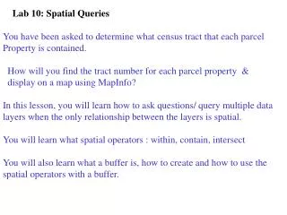
Lab 10: Spatial Queries. You have been asked to determine what census tract that each parcel Property is contained. How will you find the tract number for each parcel property & display on a map using MapInfo? In this lesson, you will learn how to ask questions/ query multiple data

Lab 10: Spatial Queries
E N D
Presentation Transcript
Lab 10: Spatial Queries You have been asked to determine what census tract that each parcel Property is contained. How will you find the tract number for each parcel property & display on a map using MapInfo? In this lesson, you will learn how to ask questions/ query multiple data layers when the only relationship between the layers is spatial. You will learn what spatial operators : within, contain, intersect You will also learn what a buffer is, how to create and how to use the spatial operators with a buffer.
To create a Spatial SQL to answer: Which parcels are within contaminated soil? Select File> Open Table Select parcel & contaminated soil table. Then: 1 2 1 Select Query 2 Select SQL Select (Continued on next slide) Spatial SQL in MapInfo
Continued- Spatial SQL-Which parcels are within contaminated soil? 2 3 3 2 3 4 5 2 Select the tables using tables button 3 Move cursor to where condition box, select columns button- select file. Obj Select Operators button- select within Select columns button- select file.obj 4 Select Verify 5 Select OK Answer is parcels shaded orange
Spatial SQL Which parcels are intersect contaminated soil?
Spatial SQL The order of tables can change the spatial SQL result. If contaminated soil table listed first, it is the base table & the output of the SQL is one contaminated soil record (polygon). If parcel table listed first, it is the base table & the output of the SQL is many parcel records (polygons)
Example: Buffering selected polygons at a constant distance in MapInfo & having the buffer result in one buffer for each object: Select File>Open Table select table to buffer; In layer control- 1 make the cosmetic layer be Editable 2Select OK 1 2 3 Select objects to buffer on map using arrow select 4 Select Objects 5 Select Buffer 6 Type Radius value & select units feet or miles select smoothness value select 1 buffer or multiple 7 Select OK 4 5 6 Buffer result (3 buffer polygons) 3 3 3 7
Example: Buffering selected polygons at a constant distance in MapInfo & having the buffer result in one buffer of all objects Buffer result (1 buffer polygon)
You are now ready to begin MapInfo Exercise- Lab 10 • Spatial Queries. The main objectives are: • To ask questions or query data layers using: • Query> SQL Select Menu using operators of • within, contain, & intersect • To create a buffer and using spatial operators, determine • if features from one layer are within or intersect features • from another layer • Begin exercise- lab 10