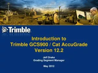
Trimble GCS900 Grade Control System for Efficient Construction Projects
330 likes | 467 Views
Enhance construction efficiency with Trimble GCS900! Utilize advanced machine guidance technology for accurate grading, reducing staking, and improving safety in various earthmoving applications.

Trimble GCS900 Grade Control System for Efficient Construction Projects
E N D
Presentation Transcript
Definition: Construction • The act or result of • Conceptualizing (we need a airstrip) • Interpreting and planning (designing and estimating what needs to be done) • Communicating (Bring people/resources together to get the job done.) • Creating (building that airstrip – mass excavation, finish grade and paving)
Construction Example: Building a Road • Survey the Site • Design the Road • Stake the Road (Rough) • Bulk Clear • More Staking • Cut & Fill the Road • “Build” it!
Horizontal Alignment Design the Road
Vertical Alignment Design the Road
X-Sections Design the Road
Stake the Road (Rough) Stakes may be replaced 7 times!!
Visual Grade Indication Vertical Offsets Cross Section Horizontal Offsets More Staking
Finish ~ 30mm Base course ~ 100mm Road base ~ 150mm Sub base ~ 300mm Base & cap ~ 300mm Formation Level – Subgrade Build it!
Where is the biggest problem in this process? • Stakes! • Staking out process is time consuming and expensive • Missing stakes, wrong, misplaced, or moved elevation references = unplanned changes to the design • Rework (non-planned, extra time) • Operator must interpolate from stakes – causes mistakes
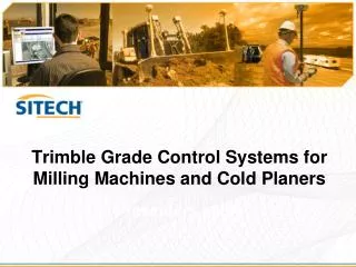
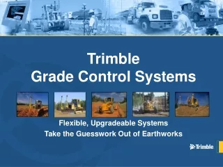
How to Fix This Process? • Introduce earth moving machine control system to the construction process • E.g. Trimble GCS900 • Trimble GCS900 is a machine control and guidance product that uses positioning technology to provide blade guidance to an operator, or to automatically control the blade hydraulics.
What is GCS900? • A ruggized field proven machine system that… • Takes a highly accurate 3 Dimensional Position (GPS) and sends it to…. • A specialized field computer (control box) that compares the position to… • A digital terrain model (DTM) to give… • Real time cut/fill information that can be used to… • Control the blade position Automatically
Complete Machine Guidance • Real time Cut/Fill • Left blade tip • Right blade tip • Horizontal Guidance • Design Linework • Road centerline • Edge of runway • Ditch centerline • Many more……
Machine Systems for Training Dual GPS Grader Single GPS Scraper Dual GPS Dozer
Major Benefits • Accurately perform bulk earthwork operations by placing the site design in the cab and using GPS positioning • Increased productivity • Consistent quality and accuracy • Reducing/Eliminating staking • Improved material usage • Faster job cycles • Reduced rework • Complex grading jobs are much easier • Improvedsafety
GCS900 Applications… • Ideal for a wide range of earthmoving applications • JRAC!!! • Airport runways, Taxiways & Aprons • Land leveling / water management • Commercial and residential pads • Residential subdivisions • Roads and Highways • Golf Courses • Sports fields • Parking Lots
Rugged • Designed for the extreme … tested to the extreme • Rugged design • Increased reliability • Fewer components
Change Sensors, Not Machines • Trimble Grade Control Systems use industry standard Controller Area Network (CAN) harnesses that allow sensors to be moved from machine to machine
What is a Design Surface? • Design surface describes a 3D surface. • A design surface can be either planar or irregular • How do we use a design surface? • We compare the blade’s position against the design surface to compute the cut or fill. • How is a design surface created? • From an external Computer Aided Design (CAD) software package • May be in a format not directly supported by GCS900 • Directly from the keypad of the GCS900 system
Design Surface Types Supported by GCS900 • Level surface • Sloping surface • DTM (Digital Terrain Model) • Road
DTM TIN = Triangular Irregular Network Regular grid • TINs more accurately represents sharp edges, and usually models the same design with less points.
Road design • A road file describe a road surface using horizontal and vertical alignments • A series of templates or standard cross- sections are then applied to these alignments to define the road surface
What is SiteVision Office? Office software package that… …forms the link between your design surface data and GCS900 in the field. Design Data SiteVision Office GCS900 (essential)