Download
1 / 23
230 likes | 290 Views
Technologies of the Modernized US NWS (National Weather System). Today. NWS technology includes the following: ASOS (completed topic) AWIPS Wind Profilers NEXRAD GOES I – M This lecture will focus on AWIPS and wind profilers. NEXt generation RADar Known as WSR-88D

E N D
Technologies of the Modernized US NWS(National Weather System)
Today • NWS technology includes the following: • ASOS (completed topic) • AWIPS • Wind Profilers • NEXRAD • GOES I – M • This lecture will focus on AWIPS and wind profilers
NEXt generation RADar Known as WSR-88D Dual Doppler Radar It’s importance in severe wx forecasting recognized in early 1980s. NEXRAD
GOES I - M • Geostationary Operational Environmental Satellites (since 1975) • Make Visible and Infrared Images of the Earth Every Half Hour • GOES I – M means GOES 8 through 12 • All have been launched, 8 & 10 are operational (8 launched in 1994), 11/12 in storage (in space), and 9 malfunctioned
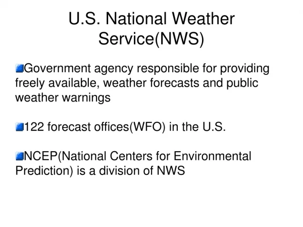
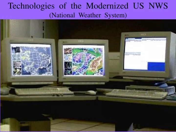
AWIPS • Advanced Weather Interactive Processing System • Interactive wx computer • Core of the NWS telecommunications capability • Used at all weather forecast centres (WFC).
WFC Workstation Interprets and analyzes data Helps prepare forecast products for transmission Stores, retrieves data Communications System Collects data from around world Data distributed among AWIPS sites Distributes Info to the public. AWIPS Components
Wind Profilers • Doppler radars used to measure vertical profiles of horizontal wind speed and direction from near the surface to the tropopause (500 m to 16 km) • Profiler Network • Deployed 1990-1992 • 32 sites in central U.S., 3 in AK
How profilers work (1) • Microwave (74 cm) pulses (404 MHz) are sent along 3 beams (“beam swinging”) • One directly overhead • One tilted 15° from vertical to the east • One tilted 15° from vertical to the north • 36 range gates (sampling heights) spaced 250 m • Microwaves transmitted for 2 minutes on each beam • This long sampling time reduces noise in the data
How Profilers Work (2) • Two sampling modes operating for one minute each in any direction • High mode: longer pulse, increased sensitivity by a factor of 40 - Samples from 7.5 km all the way to 16.25 km (36 gates) • Low mode: samples every 250 m from 500 m to 9.25 km AGL (above ground level).
How profilers work (3) • Beam pulses propagating through the atmosphere do not have to strike clouds or precipitation particles • They are instead affected by clear air turbulence • Radars detect air density changes induced by turbulent mixing of air volumes having different temperature and humidity. • These T, q, gradients backscatter the radar energy, returning some of it to the radar.
How profilers work (4) • Turbulence induced T, q, gradients move with the wind’s velocity and direction. • They produce a doppler shift in the frequency of the scattered radiation • Doppler shift is used to calculate the wind speed and direction • Ten 6-minute measuring cycles generate the hourly averages • These profilers can even operate on cloudy days with moderate rain
Wind Profiler Products • Winds component velocities for u, v, ω Vertical velocity ranges from +12 m/s (sinking) to –12 m/s (rising) • Thermal wind • Wind Shear • Cross-section • Plan views of streamlines, relative vorticity and horizontal divergence
Radio Acoustic Sounding System (RASS) • Is co-located with some profiler sites • It is the simultaneous transmission of acoustic- and micro-waves to deduce the speed of sound as a function of altitude • Helps estimate the virtual temperature as a function of altitude from the measured sound speed and vertical air motion
RASS4 transducers per siteSound emanates from horn downward to the dish and then upward.Triangular shaped features at top (earlier photos) are noise baffles called thnadners.