Download
1 / 8
80 likes | 231 Views
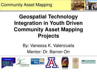
Community Asset Mapping. Geospatial Technology Integration in Youth Driven Community Asset Mapping Projects. By: Vanessa K. Valenzuela Mentor: Dr. Barron Orr. Project Aim. Youth identify issues in their communities and drive the decision-making process that leads to positive change.

E N D
Community Asset Mapping Geospatial Technology Integration in Youth Driven Community Asset Mapping Projects By: Vanessa K. Valenzuela Mentor: Dr. Barron Orr
Youth identify issues in their communities and drive the decision-making process that leads to positive change. Objectives: Youth empowerment Civic engagement and purposeful decision-making Mastery of new skills and technology Identifying research questions and defining an approach for data collection Analysis, interpretation, problem-solving What is Youth Driven Community Asset Mapping?
Determining Methods and Data Sources Conducting the Research Mission and Vision Methods Youth Driven Community Asset Mapping Goal: Youth Engagement and Empowerment within their own Communities Dr. Barron Orr facilitating the youth’s planning Identifying Major Issues and Posing the Right Questions
Geospatial Toolkit Geospatial Information System (ArcGIS) TerraServer-USA.com Google Earth Google Maps Area of interest within greater community (Ironwood Tree Experience) “where” “what” + Douglas, Arizona Youth and Youth Leaders Analyzing Spatial Data Handheld Computer (iPAQ) Garmin GPSmap 60 Technology Integration: Mapping Location, navigation, mapping input Imagery Provide context for users Spatial Analysis Allows for analysis, & manipulation Visualization store, share & communicate
What data do we need? Example:Ironwood Tree Experience (ITE) Issue Analysis Outcomes Needed a comprehensive assessment of components of a lot to be revitalized to serve as a community green space for youth • Primary Data: • Collected by youth with technology • Secondary Data: • - Lot boundary from the county Use of ArcGIS in the lab to aggregate data and analyze what was collected by all of the youth on their GTKs -Youth presented work at a community gathering -Map of green lot (ITE youth and UA students in the Office of Arid Lands Studies GTK lab) (Finalized and uploaded by Kristin Wisneski, UA graduate student) (TerraServer-USA imagery) (ITE youth and Space Grant Intern)
Pascua Yaqui Intel Clubhouse SOS Douglas Ironwood Tree Experience Thank You Thank you to the youth and leaders of: Special thanks to: Kristin Wisneski, University of Arizona graduate student in Rangeland Sciences Lynne Borden,Ph.D, Extension Specialist, Division of Family Studies and Human Development