Download
1 / 46
460 likes | 471 Views
Join the UC Museum of Paleontology Short Course on February 6, 2010, as Robin Grossinger from the San Francisco Estuary Institute presents on the historical ecology program and perspectives on the past and future of the San Francisco Bay shoreline. Explore the historical bayscape and shoreline changes from 1800 to 2000, and learn about the historical practice of using stream-borne sediment to raise marsh elevations. Don't miss this opportunity to gain insights into the future of San Francisco Bay based on its rich history.

E N D
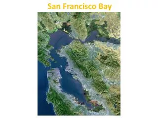
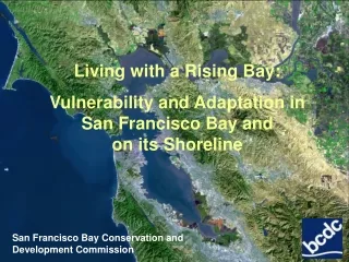
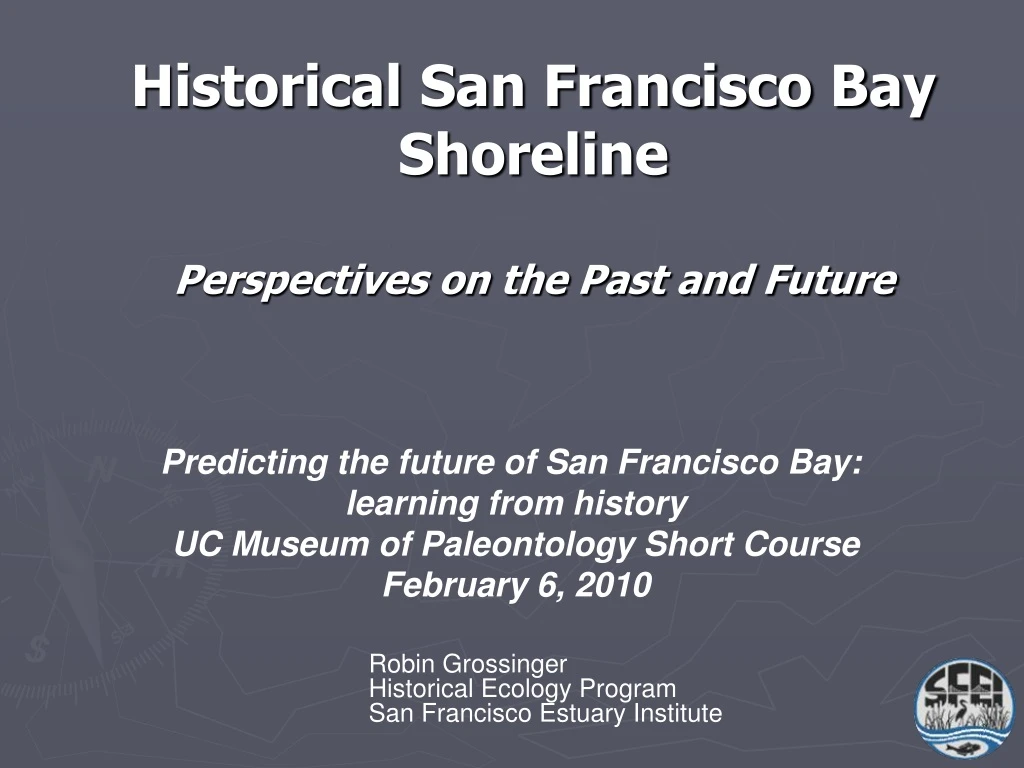
Historical San Francisco Bay ShorelinePerspectives on the Past and Future Predicting the future of San Francisco Bay: learning from history UC Museum of Paleontology Short Course February 6, 2010 Robin Grossinger Historical Ecology Program San Francisco Estuary Institute
Tidal marsh habitat and plan form geometry at the local scale
Tidal marshes are more than pickleweed plains • Extent of tidal channels • Frequency of marsh pannes, salinas • Prevalence of sandy beaches • Upland ecotone
Ca 1850 1800 Open Bay (<MLLW) Intertidal (tidal flat and marsh) Acres x 1000
2000 2000 Open Bay (<MLLW) Acres x 1000 Intertidal (tidal flat and marsh)
formed since ~1900
Shoreline change Salt ponds and remnant marsh at Ravenswood (San Mateo County), 1993
Shoreline change accretion erosion 1857 versus 1993
The historical practice of using stream-borne sediment to raise marsh elevations: • “warping” • common in South Bay 75-100 years ago • diverted local streams into contained baylands areas
“Advantage is taken of this rapid sedimentation both here [San Francisquito Creek] and on Alameda Creek for reclaiming the saltmarsh. The reclamation work is accomplished by building a levee around a certain portion and allowing the flood waters to spread over it and thus drop the sediment at the desired place.” Clark 1924
Thank you robin@sfei.org www.sfei.org/HEP