Download
1 / 9
90 likes | 107 Views
This status report from January 26, 2011, provides an overview of the progress and background of the Tennessee Base Mapping Program (TNBMP). It includes details on the contract awarded to Hayes Instrument Company and Topcon Positioning Systems, data sharing agreements with neighboring states, and the Composite Status of TNBMP. Learn about the program managed by the Department of Finance & Administration that aims to enhance the statewide GIS base map, supporting various local, state, and federal initiatives. The report also covers the Base Network Potential Buildout and the role of TDOT Office of Aerial Surveys in acquiring and maintaining TNBMP Orthophotography.

E N D
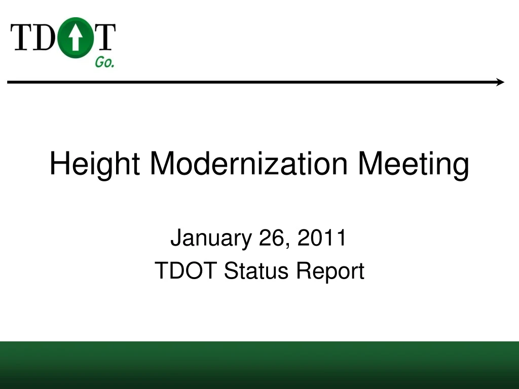
Height Modernization Meeting January 26, 2011 TDOT Status Report
Background & Status • Contract Awarded to Hayes Instrument Company of Shelbyville, TN and Topcon Positioning Systems of Livermore, CA on October 20, 2006. • 38 - Stations are currently National CORS sites • 1 - Station positioned by TDOT staff. (Metal Roof) • Supplemental TDOT stations will be added to improve overall network performance and to fill in a few areas.
Data Sharing • Data Sharing Agreements are in place with: • Kentucky Transportation Cabinet • 4 Reference Stations • Alabama Department of Transportation • 5 Reference Stations • Missouri Department of Transportation • 3 Reference Stations • North Carolina Geodetic Surveys • 8 Reference Stations • Center for Earthquake Research and Information • 8 Reference Stations (7 GPS Only)
Tennessee Base Mapping Program (TNBMP) • What is the TNBMP? • TNBMP is managed by the Department of Finance & Administration, Office for Information Resources, GIS Services • A statewide GIS base map that can be used in support of a wide range of local, state, and federal programs. • TDOT Office of Aerial Surveys performs acquisition and maintenance of TNBMP Orthophotography.