Download
1 / 23
230 likes | 358 Views
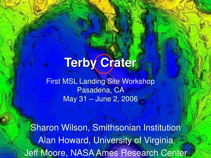
Terby Crater First MSL Landing Site Workshop Pasadena, CA May 31 – June 2, 2006. Sharon Wilson, Smithsonian Institution Alan Howard, University of Virginia Jeff Moore, NASA Ames Research Center. D ~170 km Noachian [ Leonard and Tanaka , 2001] 28°S, 287°W Diverse suite of landforms

E N D
Terby CraterFirst MSL Landing Site WorkshopPasadena, CA May 31 – June 2, 2006 Sharon Wilson, Smithsonian Institution Alan Howard, University of Virginia Jeff Moore, NASA Ames Research Center
D ~170 km Noachian [Leonard and Tanaka, 2001] 28°S, 287°W Diverse suite of landforms Indicative of varying geologic processes throughout martian history Terby Terby Crater
Justification: Interior Deposits • Light-toned layers • Ridges (>2.5 km) • Trough floors • Crater floor: exposed on scarps of the moat deposit (~400m) and crater floor • Troughs • Moat-like depression • Flat Crater Floor • Viscous flow features • Fan, channels, depressions, scoured caprock, landslides
Possible Fluvial Evidence In the Landing Ellipse ridges Wall rock?
Sinuous ridges –fluvial or glacial activity related to formation of moat? 1 km
Scientific Objectives: • Smooth, flat, dust free surface with intermediate TI (THEMIS NIR) • Ellipse: LDs and sinuous ridges on moat floor • Drive to sites in moat: • layered deposits in main ridges and crater floor (moat scarp) • fluvial features in trough related to erosion of LDs • access ancient wall rock (?)
Layered Deposits • Indurated, fine-grained sediment based on cliff-forming nature, TI and faults • Sub-horizontal bedding units [Ansan and Mangold, 2004; Ansan et al., 2005, 2006],conformable with regional slope (1.5 degree dip) • Laterally continuous on km scale • Beds are massive and scalloped • no fine-scale interbedding at MOC scale • Hydrated mineral signature (clay or sulfates) [Ansan et al., 2005; Bibring et al., 2006] • Late Noachian/Hesperian [Ansan et al., 2005; Millochau Crater by Mest and Crown]
5km • Western Ridge • 2.5 km thick layered sequence in N. Terby • Layered mounds on trough floor • Layered sequence with 4 units identified in each ridge
~800 m thick Dark toned layers (~50-70 m) interbedded with light-toned layers (10-25 m) Low albedo layers – residual mantle or compositional difference? Very regular thickness of beds Laterally continuous Characteristics of Units 1 and 3
Unit 2 • Light-toned • Some horiz bedding • Discontinuous, curved laminations and small-scale folding • Change in depositional environment • Soft sediment deformation? Surge deposits? Tectonic activity? Aeolian processes? • Unique to this unit Need more data!
Caps layered ridges Intermediate-toned, massive layer “sandwiched” between distinctive thin, dark-toned layers Dark layers weather non-uniformly into a small-scale knobby surface Dark layers more indurated and are either: coherent beds that break down along widely (multi-meter) spaced fractures or they occur as beds of multi-meter scale clasts Unit 4
20 km Northern Terby rim Projected elevation profile of Terby’s southern rim Northern rim of unnamed crater Flat mesa surface crater floor moat N Origin of the Layered Deposits Original Depositional Geometry
N 3 km 20 km Original Depositional Geometry Terby Rim N 3/4 2 1 • No evidence of thinning, pinching out or steepening of layers • No evidence for past lateral obstruction • Possible layered ridges across moat depression • Layers in ridges likely extended out past the center of the crater • Possible Scenario: Layers in crater floor only correlate to lower unit in layered ridge • Mechanism to erode back layers and form moat?
Terby is special, but not unique! Similar morphology in other craters around Hellas Important to discern regional history of deposition and erosion Is Terby One-Of-A-Kind? 20 km
Craters in Circum Hellas with Pits and Layers Moore and Howard, 2005
-3.1 km -6.9km • Possible stands of ice covered lakes based on topographic, morphologic and stratigraphic evidence -5.8km -4.5km Moore and Wilhelms, 2001
Histogram of Elevation Around Hellas -6.9 km Moore and Wilhelms -5.8 km
Possible Water Stands • -2.1 km, -3.1 km and -4.5 km • High elevation related to deposition • Low elevation related to erosion?
Hellas and surrounding region under water? - 0.7 km +0.6 km Elevations correlate to well-developed, inward-facing scarps
Summary • Size and age of Terby represent a long period of martian history • Geologic history is complex, but perhaps more well-constrained than other craters with ILDs and relevant to greater Hellas region • Climate-related landforms in Terby indicative of potentially hospitable environments– making it an excellent candidate for MSL • Layered deposits consistent with lacustrine deposition • Presence of hydrated minerals (clay?) might indicate an ideal environment for preserving organic material • Fluvial Features (sinuous ridges, fan, flow features) also accessible