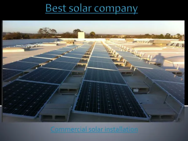
Download
1 / 14
140 likes | 276 Views
GCE Site and Information Management Overview. Wade Sheldon GCE Information Manager. GCE LTER Study Area. Altamaha River. Sapelo Island. Intertidal Marsh. Reynolds Mansion. Coastal Development. Marsh & Creek Monitoring Sites. Water/salt transport Nutrient fluxes

E N D
GCE Site and Information Management Overview Wade Sheldon GCE Information Manager
Marsh &Creek Monitoring Sites • Water/salt transport • Nutrient fluxes • Plant biomass and productivity • Soil organics • Decomposer activity and diversity • Climate (3-4 sites)
Hydrographic Survey Locations(Quarterly surveys, moored instruments) • Tidal Surveys: • Surface Salinity • Surface Temperature • DOM/ChlA fluorescence? • Depth Profiles (2-4km stations) • Salinity • Temperature • PAR? • Moored Instruments • CT sensors • ADCP (Altamaha Sound)
GCE Information Management • IM Staff: 1 manager (.75 time) • IT Infrastructure • UGA: Campus Networking Services • IMAP, SMTP, listserv, personal WWW • Ethernet backbone (Gigabit fiber) • high bandwidth switch (new) • Sapelo (field station): UGAMI LAN • Modem and ISDN (new) • Remote Sensor Connectivity • mostly offline (dataloggers) • USGS microwave (1 Met/Hydro station) • GCE Server • Web (HTML, ASP, Matlab Web Server) • Database (SQL Server) • File sharing, FTP (very limited)
Management Strategy • Concentrate on core data management (not IT) • Development of standards and protocols • Data processing, validation • Data documentation templates, web applications • Data set, data product dissemination • Maintain web sites for public relations, project participants • Automate extensively • Database-driven web pages • Web-based data entry with client- & server-side scripting • Automated tabular data set processing, formatting, statistical analysis (GCE Data Tools/Data Structures) • Provide research support to encourage participation • Custom statistical reports for submitted data sets • Data analysis/visualization applications (Windows/Unix GUIs) • General resources (tide tables, site maps, aerial photos, external data)
Progress and Plans • Public and private web sites in operation • Data standards and policies published • 6 data sets processed to date • Climate and hydrographic data coming in • Data submission web application under development (templates in use) • End-user GUIs for GCE Data Tools in testing • Web-based programs for manipulating, analyzing Data Structures planned