Download
1 / 22
220 likes | 306 Views
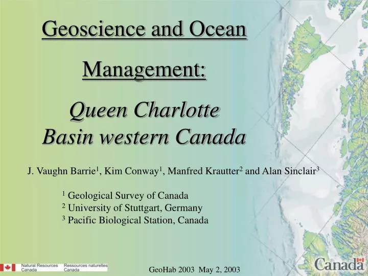
Geoscience and Ocean Management: Queen Charlotte Basin western Canada. J. Vaughn Barrie 1 , Kim Conway 1 , Manfred Krautter 2 and Alan Sinclair 3. 1 Geological Survey of Canada 2 University of Stuttgart, Germany 3 Pacific Biological Station, Canada. GeoHab 2003 May 2, 2003.

E N D
Geoscience and Ocean Management: Queen Charlotte Basin western Canada J. Vaughn Barrie1, Kim Conway1, Manfred Krautter2 and Alan Sinclair3 1 Geological Survey of Canada 2 University of Stuttgart, Germany 3 Pacific Biological Station, Canada GeoHab 2003 May 2, 2003
SEDIMENTARY BASINS IN CANADA’S WEST COAST REGION Queen Charlotte Basin area: 80,000 km2 Qualitative estimates indicate that Queen Charlotte Basin contains 3 to 4 times (25.9* trillion cubic feet) the gas resource potential of either Georgia or Tofino basins. It also contains a significant oil resource potential (9.8* billion barrels) which is not identified for either of the other two basins. (* Hannigan et al., GSC Bulletin 564, 2001; values quoted are 50% probability in-place petroleum play estimates) Tofino Basin area: 40,000 km2 Georgia Basin area: 15,000 km2
ESTIMATED RESOURCE POTENTIAL QUEEN CHARLOTTE BASIN • Higher potential areas • - deep Tertiary sub-basins • known Tertiary gas source rocks • probable Jurassic oil source rocks • oil and gas shows in several wells • gas indicators on seismic data • seismically-mapped prospects • high quality reservoir materials
ISSUES • Queen Charlotte Basin Oil and Gas • Fisheries and Habitat • Marine Protected Areas - Sponge Reefs • Wind Farms • Marine Minerals and Aggregates • Geohazards
First Nation Land Claims The region shown on this map incorporates land claims by eleven distinct First Nations.
NRCan - GSC Geoscience for Ocean Management Program Objective: To provide the geoscientific knowledge necessary for effective decision-making on competing resource management issues in the Queen Charlotte Basin
Objective 1: Generate web accessible, national standard maps of geohazards, habitat, and surficial geology % Sand % Mud
Objective 2: Acquire multibeam data of key areas of resource and environmental conflict Sponge Reef
Georgia Basin Gas Pipeline
Objective 3: Map and delineate the benthic habitats for sustainable fisheries and provide knowledge for the establishment of marine protected areas Hecate Strait Ecosystem Project - DFO, NRCan, UBC, UVic Groundfish Trawl Data
FISH HABITATS Coloured areas indicate the known habitat extents of west coast fish species.
Objective 4: Determine the seafloor expression and risk assessment of marine geohazards Seafloor geologic hazards • Slope Stability • Shallow Gas • Sediment Mobility • Sedimentary Bedforms • Boulder Fields % Sand
Objective 5: Establish the extent and conditions that determine the health and survival of the globally unique sponge reefs
POSSIBLE ‘OFF-LIMIT / NO-GO’ ZONES 3. Marine Protected Area’s The Department of Fisheries and Oceans designates known sponge reefs in Queen Charlotte Basin, and a ~9 km buffer region surrounding them as ‘no fishing zones’. The department has advised that the reefs are under consideration for designation as Marine Protected Areas.
Summary: • Queen Charlotte Basin is know to the world for two conflicting characteristics, 1) world heritage site for cultural, biological and geological ecosystem, and 2) resource wealth in fishing, potential hydrocarbons, wind power and precious and industrial minerals. • What is needed is a integrated Ocean Management Program to balance the competing demands of renewable and non-renewable resources with conservation through the development of Marine Protected Areas.