Download

1 / 20
200 likes | 272 Views
Explore the fundamentals of using latitude, longitude, and time zones in navigation. Understand how they relate to solar time and the positioning of celestial objects like Polaris.

E N D
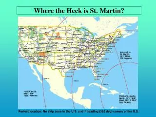
Or . . . Where the heck are we? Chunky Lat & Long
For two observers to experience the same solar time, they would have to be on the same . . . • Longitude
If the time is noon in Greenwich, England is it earlier or later in NYC? • Earlier
If two cities are on the same latitude but separated by 60o of longitude, how far apart in time are they? • 4 hours
As a person travels due east across NYS, the altitude of Polaris will . . .A) IncreaseB) Remain the sameC) DecreaseD) you can’t see it • B) Remain the same
What are the coordinates of Slide Mtn. in NYS? • 42oN, 74o 25’W
If it’s Noon in NYC, what time is it in San Francisco? • 9am
Where is Polaris? A, B, C, or D • C C D B A A
The angle opposite the length of the star trail is 30o, how long was the lens of the camera open? • 2 hours
Which coordinate lines are also called parallels? • Latitude
What is the girl's latitude? • 42o N
An observer in Australia at 30oS is looking for Polaris. At what angle in the sky will he see it? • He can’t see Polaris from Australia.
What is the reference line for longitude? • The Prime Meridian
NYS latitude and longitude are all what compass directions? • North and West
What is the time difference between Buffalo and New York City? • They are the same time
The is highest in the sky at what time of day? • 12pm or Noon
An observer sees the sun at it’s highest point in sky at noon. What direction is he facing? • Due South
Which globe is correct? A B C D • C