Download
1 / 27
270 likes | 400 Views
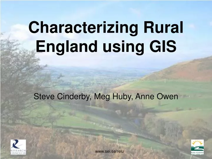
Characterizing Rural England using GIS. Steve Cinderby, Meg Huby, Anne Owen. Characterizing Rural England Using GIS. Scoping study in the Rural Economy & Land Use Programme Aim:

E N D
Characterizing Rural England using GIS Steve Cinderby, Meg Huby, Anne Owen
Characterizing Rural England Using GIS • Scoping study in the Rural Economy & Land Use Programme • Aim: • To integrate natural and social science data into a spatial dataset that can be used for analysis to inform rural policy-making and provide a knowledge base for furthering policy integration www.sei.se/relu
The Super Output Area • This study uses the new Census Super Output Areas (SOAs) as the base unit for aggregation. • SOAs are a new geography designed to improve the reporting of small area census statistics. It is intended that they will eventually become the standard across UK National Statistics. • Lower level SOAs have a minimum population of 1000 people with a mean of 1500 people. For rural SOAs, areas range from 0.16km2 to 684km2 with a mean size of 18.2km2.
The Rural Definition • Classification based on underlying hectare square grid • Each square classified into one of 9 “morphological” categories – e.g. small town, village, hamlet • Each square assigned a score based on the sparsity of the surrounding area
The Rural Definition for SOAs • Super Output Areas are either rural or urban • SOA is either sparse or less sparse • Rural SOAs are either town or village/hamlet • 2 urban and 4 rural types
Spatial Integration • The 2001 Census and 2004 Indices of Deprivation use the Super Output Area as their areal unit. • Other variables, particularly environmental datasets, use a different geography, which need to be integrated at SOA level. • The problems of geographic integration to a common base unit are well known. • This project aims to characterise, minimise and represent errors and uncertainty when data is portrayed at SOA level.
Distribution of data • Uniform • Patchy • Continuously varying
Geography of data • Point • Line • Area • Surface
Resolution of data Low High
Distribution of non SOA level data • Data that have not been collected at SOA level must be assigned to SOAs • The nature of the assignation is determined according to the underlying distribution of the data • Additional data are required to determine the geography of the distribution
Case Study I: Bird species richness • Captured at 10km grid square level • Resolution is low • Assume uniform distribution throughout grid square • Apply area weighted averaging technique to construct data at SOA level
Area Weighted Technique 23 29 60 m2 80 m2 (23 x 60)/190 = 7.26 (29 x 80)/190 = 12.21 190 m2 (35 x 20)/190 = 3.68 20 m2 30 m2 (41 x 30)/190 = 6.47 35 41 (7.26 + 3.68 + 12.21 + 6.47) = 30(2 s.f.)
Case Study II: Voter participation • Captured at parliamentary ward level • Resolution is low • Assume patchy distribution of population settlements • Apply population weighted averaging technique to construct data at SOA level
Population Weighted Technique 600 0.72 x 900 = 648 0.53 x 600 = 318 1500 people 900 72% 53% (648 + 318) / 1500 = 64.4%
Case Study III: Air Pollution • 1km grid square level • Resolution is high • Distribution is continuously varying
When ‘average’ is not appropriate • A weighted average technique masks variation in the data and information on very high, or very low values is lost • When considering pollution data, it may be more appropriate to consider maximum pollution found in an SOA rather than the mean
Case Study IV: Impact of Tourism • Calculate an indicator showing the effect of tourism on Rural SOAs • Use point data of visitor numbers to tourist sites with line data of road network • Aim to show tourist ‘intensity’ along area adjacent to roads
Conclusion • Problems of combining data together spatially do not arise because the data is either environmental or socio-economic • They depend on the nature of the data • Each type must therefore be considered on a case by case basis, using supplementary data on the underlying distribution for mapping to SOA level