Download
1 / 27
270 likes | 426 Views
Zoltán Simonffy Hungarian Academy of Sciences Research Group for Water Management. Implementation of WFD in Hungary - rivers. Content: Typology system in Hungary Identification of River Water Bodies Identification of Hyromorphological risks. 1. Typology for rivers in Hungary.

E N D
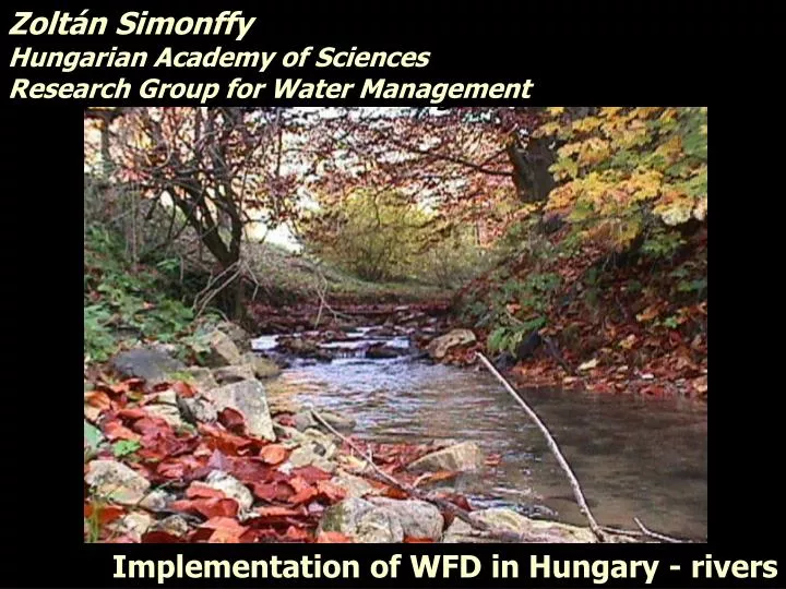
Zoltán Simonffy Hungarian Academy of Sciences Research Group for Water Management Implementation of WFD in Hungary - rivers
Content: • Typology system in Hungary • Identification of River Water Bodies • Identification of Hyromorphological risks
Structure of the typology System B is accepted Topography (slope of groundsurface) Size of the catchment area Geology (hydrogeochemistry) Chemical composition Geology (Substratum of the river bed) Sediments and river morphology
Geology - substratum • aquatic landscapes Size of the catchment B - typology Structure of the typology Topography (landscape, elevation, slope) • sub-ecoregions Geology - hydrogeochemistry
Topography Releváns morfológiai jellemzők
> 800 m 200 – 800 m < 200 m Topography
Mountains Hills Plains Topography (sub-ecoregion) Releváns morfológiai jellemzők
Geochemical characteristics Silicious: acidic rocks acidic soils Organic: peat BUT: Ionic composition of water: Everywhere calcerous type in the hilly and flat regions • Calcerous: • karstic rocks • loess • calcerous soils
Substratum of the river bed coarse fine medium
Aquatic landscapes Sediments and river morphology
Sub-ecoregions, geology Size of the catch. mountainous regions, calcerous coarse small, mountainous regions, silicious coarse small, medium, hilly regions, calcerous coarse small medium large very large medium - fine small, medium, large small medium large, very large, plains, calcerous coarse medium - fine small, small slope medium, small slope medium, large, very large, small medium Organic (peaty) regions River types
Natural River Water Bodies Merging neighbouring, short river sections following the typology classification River sections having <10km2 catchment area are not water bodies except if it is recharged by a spring, or it has local importance. Merging related river sections having <100km2 catchment area Division of water bodies by important mouths (or country border): Danube, Tisza, Körös Result: 875 natural River Water Bodies
Artificial River Water Bodies Definition: "Artificial water body means a body of surface water created by human activity”. (creating a new water body from previously dry land, e.g. a canal) Selection of canals by considering their ecological importance (discrete expert judgements) Result: 151 Artificial Water Bodies
Artificial River Water Bodies Artificial water courses Artificial Water Bodies
METHODOLOGY FOR ASSESSMENT OF RISK RELATED TO HYDROMORPHOLOGICAL ALTERATIONS Database of human pressures Ecological status based on biological data Estimation of the modified hydromorphological parameters Rapid ecological survey in selected river sections (65) (different types and different alteration) Criteria for significant alterations obvious: not good status uncertain: possibly not good status Designation of significantly altered river sections (two main groups according to criteria) Water bodies at risk: > 50 % is altered considering only obvious effects Water bodies possibly at risk: > 50 % is altered considering all significant alterations Water bodies not at risk: if non of the above criteria applies to the water body
Upstream impact if no continuty: (Slope < 1:25, water cover > 10 cm, v< 0,6 m/s)impact isuncertain, because it depends on species (migration?) Reservoir itself: Changes in cathegoryobvious impact Impacted river section: where the downstream catchment is biger than 50 times the surface of reservoir (excluding catchment of other reservoirs!) DETAILED CRITERIA FOR RESERVOIRS IN MOUNTAINS AND HILLS • Downstream impact, if • no bypass, • MLF is below the type-specific value, • frequency of drying is doubled, • obvious impact
CRITERIA FOR ASSESSMENT OF HYDROMORPH. RISK IN RIVERS significant artificial inflow
AN EXAMPLE FOR DEFINING HYDROMORPHOLOGICAL RISK Total (50%) Obvious criteria: 15 ( 7.5) Uncertain criteria: 12 ( 6.0) 27 (13.5) For Water Body No 1 Obvious impacts: 10 Uncertain impact: 4 14 WB is at risk For Water Body No 2 Obvious impacts: 5 Uncertain impact: 10 15 WB is possibly at risk For Water Body No 3 Obvious impacts: 5 Uncertain impact: 7 12 WB is not at risk
CLASSIFICATION OF WATER BODIES ACCODING TO HYDROMORPHOLOGICAL RISK VÍZTEST SZINTŰ OSZTÁLYOZÁS Hydromorphological risk
GROUP OF RIVER WATER BODIES FROM HYDROMORPHOLOGICAL POINT OF VIEW All river water bodies: 875 db, 18 488 km Good hydromorphological conditions already 297 db (34%), 6425 km (35%) Possibly at risk (hydromorphological impact is uncertain) 231 db (26%) , 4257 km (23%) 236 db (23%) , 4594 km (25%) Hydromorphological risk (no good status without measures) 347 db (40%), 7796 km (42%)
Database of human pressures Survey of ecological status (ECOSURV, 400 sites) Estimation of the modified hydromorphological parameters Evaluation of the results (cluster analysis and filters according to hydromorphological impacts Criteria for significant alterations obvious: no good status (checking) uncertain: possibly no good status (clarification) Still uncertain Repeating designation procedure Checking water bodies at risk Focusing on water bodies possibly at risk - either in good status - or at risk METHODOLOGY FOR FURTHER ASSESSMENT OF HYDROMORPHOLOGICAL RISK