Download
1 / 1
10 likes | 94 Views
Tar sands oil spills can harm freshwater ecosystem services in New England. #Pipehike initiative engages communities in mapping at-risk areas, highlighting the value of clean water. Learn about the impact of spills and the costly cleanup efforts of tar sands deposits. Stay informed on plans to transport diluted bitumen through the Portland to Montreal Pipeline, originally designed for lighter oil. Support research efforts funded by NSF to protect our environment.

E N D
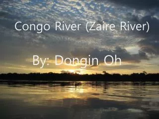
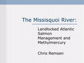
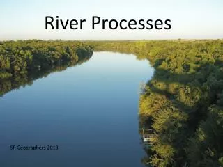
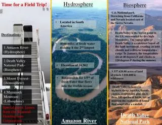
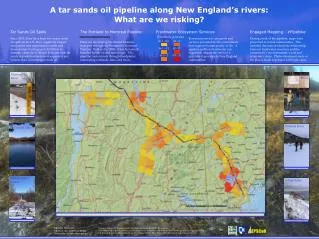
A tar sands oil pipeline along New England’s rivers: What are we risking? Tar Sands Oil Spills The Portland to Montreal Pipeline Freshwater Ecosystem Services Engaged Mapping - #Pipehike ($ million/yr/town) Ecosystem services are goods and services provided by the environment that support human quality of life. A pipeline spill into freshwater can negatively impact the services it provides it provides to New England communities. During a trek of the pipeline, maps were presented in at risk communities. This initiated discussions about the relationship between freshwater resources and the community’s environmental, social and economic values. Photos document some of the places locals expressed with high value. Since 2010, there have been five major crude oil spills in the US. They negatively impact ecosystems and communities onsite and downstream. Costing up to $1 billion in damage, clean-up of diluted bitumen from tar sands deposits has been more expensive per volume than conventional crude oil. $0 .1 - 0.2 $1 – 5 Plans are developing for diluted bitumen transport through the Portland to Montreal Pipeline. Built in the 1950s, it has historically handled lighter oil and natural gas. The pipeline route travels through floodplains, intersecting wetlands, lakes and rivers. $0.2 – 0.5 $5 - 15 $0.5 - 1 $15 - 20 Missisquoi River Androscoggin River Lake Memphramagog Missisquoi River $0 .1 - 0.2 Crooked River Crystal Lake Androscoggin River Connecticut River Crooked River Sebago Lake Victory State Forest Sebago Lake Kathryn Thomson Advisor: Dr. Cameron Wake University of New Hampshire Research funded by National Science Foundation Grant #1101245 through the NH EPSCoR Research Experience for Undergratuates & the National Wildlife Federation Campus Ecology Fellowship. Additional thanks to Michael Routhier, Dr. Michael Palace, Phay Rubin, Brett Chamberlin and Morse GIS Lab.