Download
1 / 7
70 likes | 464 Views
Introduction to the World Countries Atlas. This document outlines the contents of the World Countries Atlas and gives some ideas for using it with Dynamic Maps. For instructions on setting up and running the World Countries Atlas, see the last page.

E N D
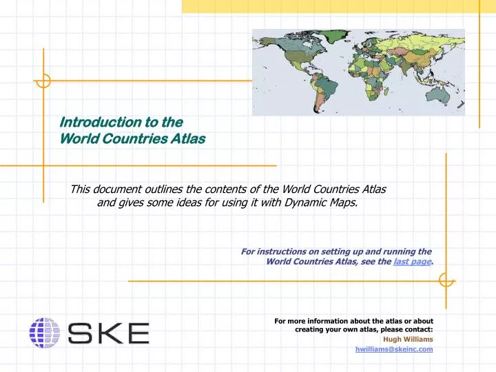
Introduction to the World Countries Atlas This document outlines the contents of the World Countries Atlas and gives some ideas for using it with Dynamic Maps. For instructions on setting up and running the World Countries Atlas, see the last page. For more information about the atlas or about creating your own atlas, please contact: Hugh Williams hwilliams@skeinc.com
World Countries Atlas Highlights • The Agriculture Topics contain data about cereal production, fishing, soils, and climate. Create maps of the world showing the relative importance of agriculture in each country, or use the map as an index to that data. • The Biodiversity Topics contains value-rendered maps of various eco-region types. • The Minerals Topic links various mineral resource deposit locations with their related data. Create maps showing relative importance of those deposits. • The Natural Hazards – Earthquakes Topic shows locations of earthquakes and faults and the associated occurrence data and intensity zones. • The Socio-Economic Topics are full of interesting features and data. • For example, if you’re connected to the Internet, you can access the CIA Fact Book listing for a country by clicking on it! • The Economic Indicators Topic contains links to several key economic data sets – use these to show distribution of GDP / cell phone use / and much more. • The World Demography Topic contains many data sets enabling a detailed view of international demographics – from life expectancy to illiteracy rates.
Navigate the Atlas Topics • The atlas is organized by “Topics”, like a table of contents, each containing map layers and other data / information. • Some topics have a hierarchy. Click on the beside the topic name to expand and see the sub-topics. • To view a topic, click in the box beside the name .
Understanding Map Layers • To turn on a map layer, click on the box beside the name. • To change how a map layer looks, right click on its name. • A grayed-out map layer means it is not visible at that scale. If you turn on a gray layer, the map will zoom in or out to a scale at which it is visible. • * A green layer means that it can become Active. All map functions are done on the Active Layer. To make a layer active, click on its name. In the example shown, the “Countries” layer is Active (the Active layer is always highlighted). • Once a layer is Active, you can: • Identify a feature (get its name, value, etc.). • Find a feature. • Select a feature(s) and see its related tabular data and documents (if the map layer has them).
GDP Per Capita 1999 $500 or less $500 to 1000 $1,000 to 5,000 $5,000 to 10,000 >$10,000 Using Related Data:The Spreadsheet • Use Query Builder to create a selection subset of your data and map where the condition exists. • Use Class Rendering to illustrate a measure or trend in the data; as shown in this example for GDP per Capita 1999 (created with the “Economic Indicators” topic). • Use the Excel link to create charts and graphs; and, to save the results of your Queries as your own data set. • You can also import data with the “Data Set / Import Data Set” function in the map menu. All you need are corresponding link values in your data between the map features’ ID code and the data. Try something: “Agriculture and Food” Topic. Use the “GDP from Agriculture” data to find the country with the highest % reliance on agriculture in 1998. To do this, select the Y1998 field by clicking on the field heading and highlighting the Y1998 field, and then click Find Maximum. What country is it? Is it the same country in 1999? Try something: “Fisheries” Topic. Use the “Crustaceans and Mollusks” data to showall the countries that harvested more than 10,000 mTonnes in 1999. To do this, select Query Builder; choose the Y1999 field, the “>” operator, and the 1st value below10,000. Click “Add New Selection”; then click “OK”. (If you then want to turn off the labels on the map, use View / Label Selected in the Map menu.)
Dynamic Atlas Highlights • Many organizations and governments around the world use Dynamic Atlas to publish and provide access to information. • Each “Atlas” is an organized collection of data and documents. A typical atlas will have map files (like ESRI shape files); databases (like Microsoft Access and Excel); documents and links (like .pdf files, web site links, etc.) and metadata. • Geography provides a powerful way to communicate. • Having a common way to access data and information builds understanding and interaction because people access and use the information. • You interact with the data directly to produce your own analysis. • No GIS experience or software required. • Because Dynamic Maps is free, any atlas can be free to distribute – meaning there are no barriers to access.
Getting Started with the World Countries Atlas You need Dynamic Maps software installed to use the Atlas.If you don’t have Dynamic Maps installed, please download it and the Service Pack from the SKE web site and follow the “Read Me First” instructions for installing – it’s quite easy and it’s free! http://www.skeinc.com/Support/Downloads.html Step 1. The atlas is distributed as a self-extracting executable to help ensure that the files remain in their proper directories. Don’t change the structure / relative positions of the atlas files once you’ve extracted them. • Launch the “World Countries Atlas.exe” file. The atlas will unzip into “C:\Atlases” by default. You can choose another location, however, put it somewhere near the root of the drive to avoid long file names. Step 2. Launch Dynamic Maps. Step 3. In Dynamic Maps, click “Import” and navigate to the atlas/warehouse parent directory (i.e. “C:\Atlases\World Countries Atlas”) as shown here and click OK. When the import finishes, the atlas is available in Dynamic Maps. Step 4. Launch Dynamic Maps. The World Countries Atlas now appears in the list. Double-click on it to launch it.