Download
1 / 18
200 likes | 366 Views
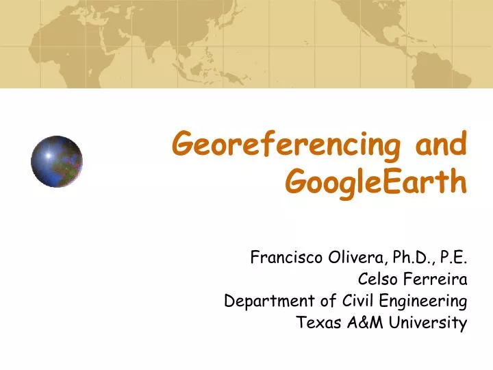
Georeferencing and GoogleEarth. Francisco Olivera, Ph.D., P.E. Celso Ferreira Department of Civil Engineering Texas A&M University. Overview. Georeferencing using ArcGIS Visualizing data in Google Earth. Georeferencing :. Acquiring a digital image Importing images in ArcGIS

E N D
Georeferencing and GoogleEarth Francisco Olivera, Ph.D., P.E. Celso Ferreira Department of Civil Engineering Texas A&M University
Overview • Georeferencing using ArcGIS • Visualizing data in Google Earth
Georeferencing: • Acquiring a digital image • Importing images in ArcGIS • Defining control points • Resampling the image
Acquiring Images e.g.: Brazos County Aerial Photos from 1940
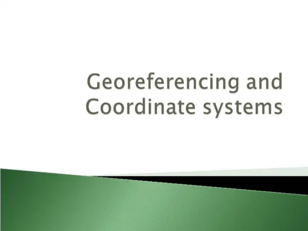
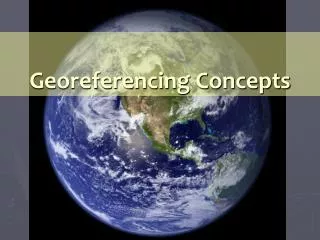
Georeferencing Concepts Source: ESRI Help
Georeferencing Concepts Real World Coordinates Original Image Raster Source: ESRI Help
GeoreferencingGoogleEarth Images • Find control points in Image • Get coordinates for each point • Use Georeferencing toolbar for adjusting the image
Exercise Outline: • Goal: Find Reed Arena geographical location using a 1940 aerial photograph • Load the georeferenced layers • Load the 1940 Image • Georeference the image • Delineate a polygon around Reed Arena
GoogleEarth: • Preparing the data in ArcGis • Exchanging data: • Keyhole Markup Language (KML) is an XML-based language schema • Generating KML files from ArcGis • Importing KML files in GoogleEarth
Preparing the data • General geoprocessing procedures • Identify, clip, intersect, union… • Make sure to “clean up the data” and select appropriate area
Generating KML • Conversion Tools>>To KML>>Layer to KML
Importing KML • In GoogleEarth Open KML
Demo: Visualizing data using GoogleEarth • Data available from: • Dr. Olivera home page / Geomatics in Civil Engineering (CVEN 423) / Spring 2009 • https://ceprofs.civil.tamu.edu/folivera/CVEN423/Spring2009/home.htm