Download

1 / 15
160 likes | 362 Views
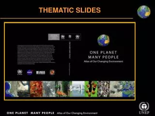
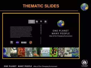
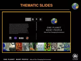
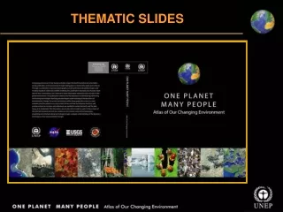
THEMATIC SLIDES. CROPLAND. CROPLAND. Almeria, Spain Santa Cruz, Bolivia Novovolyns’k, Ukraine Torreon, Mexico Tensas River Basin, United States Shatt al-Arab, Iraq/Iran Al’ Isawiyah, Saudi Arabia Paektu San, North Korea Toshka Project, Egypt. CROPLAND.

E N D
CROPLAND • Almeria, Spain • Santa Cruz, Bolivia • Novovolyns’k, Ukraine • Torreon, Mexico • Tensas River Basin, United States • Shatt al-Arab, Iraq/Iran • Al’ Isawiyah, Saudi Arabia • Paektu San, North Korea • Toshka Project, Egypt
CROPLAND • Cultivated systems, including croplands, shifting cultivation, confined livestock • production and freshwater aquaculture cover approximately 24% of total land • area • In the last two decades, the major areas of cropland expansion were located in Southeast Asia, parts of South Asia, the Great Lakes region of eastern Africa, the Amazon Basin, and the U.S. Great Plains • The major decreases of cropland occurred in the southeastern United States, eastern China, and parts of Brazil and Argentina • According to FAO estimates, 1 500 million hectares (3 706 million acres) of the world’s land is currently being used for growing crops • Of all human activities, agriculture consumes the greatest amount of water, accounting for 70% of all water withdrawals worldwide Millennium Ecosystem Assessment: Ecosystems and Human Well-being 2005; UNEP 2005
Greenhouse agriculture in Almeria, Spain • 1987: The landscape reflects rather typical rural agricultural land use • 2000: The area has been converted to intensive greenhouse agriculture • 2004: Greenhouse-dominated land appears as whitish gray patches
Converting forests into farms in Santa Cruz, Bolivia • 1975: Forested landscape • 2003: Large corporate agricultural fields transform the landscape
Novovolynśk: Contrast in land use practices, Ukraine 1988-2000: Apparent change in the approach to land use in Ukraine, following the patterns in Poland
Decreasing cropland due to drought in Torreón, Mexico • 1972: There has been significant decrease in cropland due to drought • 2000: Cropland around the city is continuously decreasing
Difference in change pattern across Tensas River Basin, United States • 1972: Clearing of forest during the 1960s and 1970s increased flooding and erosion • 2001: Land cover change on the Louisiana side of the image is striking 2 Oct 1972 2 Oct 1972
Destruction of largest date palm forest - Shatt al-Arab, Iran/Iraq 1975-2002: Destruction of the largest date palm forest in the world, bordering Iraq and Iran By 2002, more than 80% of palms were wiped out due to war, salt and pests
Greening of Al’ Isawiyah desertSaudi Arabia • 1991 – Irrigation in the desert begins • 2000 – Irrigation transforms the desert • 2004 – Irrigation intensity increases
Agricultural expansion around Paektu San, North Korea Images show agricultural expansion around Paektu San • 1977: Shows result of intensive land development on the North Korean side of the border • 1999: Shows expanding agricultural activities on and around Paektu San, especially after the construction of the dam
Toshka: Farming the desertEgypt These images show the desert area transformed into vegetable plots • 1984-87: Image of the area before the desert reclamation project began in mid-1990s n • 2000: Four new lakes are visible in this image, the faint blue-green areas around the lakes are newly created agricultural lands
Toshka: Farming the DesertEgypt 2005: New fields are clearly visible in the image
CROPLAND One Planet Many People: Atlas of Our Changing Environment Thank You! Free Downloads: www.na.unep.net Purchase: www.Earthprint.com