Download
1 / 16
160 likes | 362 Views
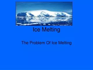
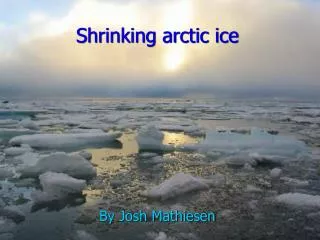
The “Great Ocean Conveyor” and Polar Ice Melting. Meridional Ocean Currents. Currents constantly circulate ocean water from one side of the globe to the other. Known as the thermohaline conveyor (deep water circulation). Meridional Ocean Currents.

E N D
Meridional Ocean Currents • Currents constantly circulate ocean water from one side of the globe to the other. • Known as the thermohalineconveyor (deep water circulation)
Meridional Ocean Currents • This conveyor belt circulates ocean water around the globe, redistributing heat and nutrients. • How it works is cold, salty water is denser and sinks to the bottom of the ocean while warm water is less dense and rises to the surface.
Where does it originate from? • The ocean conveyor gets it “start” in the Norwegian Sea, where warm water from the Gulf Stream heats the atmosphere in the cold northern latitudes.
This loss of heat to the atmosphere makes the water cooler and denser, causing it to sink to the bottom of the ocean. • As more warm water is transported north, the cooler water sinks and moves south to make room for the incoming warm water.
This cold bottom water flows south of the equator all the way down to Antarctica. Eventually, the cold bottom waters are able to warm and rise to the surface, continuing the conveyor belt that encircles the globe. • It takes almost 1,000 years for the conveyor belt to complete one “cycle.”
Global ocean circulation between deep, colder water and warmer, surface water strongly influences regional climates around the world. • Climateis defined as variation of weather at a given place for a specified intervalof usually 30 years.
Sunken water flows south along the ocean floor toward the equator, while warm surface waters from tropical latitudes flow north to replace the water that sank, thus keeping the Conveyor slowly chugging along.
An increase in freshwater could prevent this sinking of North Atlantic surface waters, slowing or stopping this circulation.
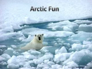
Polar Ice Cap Melting and The MOC • Because saltwater is denser and heavier than freshwater, this "freshening" of the North Atlantic would make the surface layers more buoyant. • That's a problem because the surface water needs to sink to drive a primary ocean circulation pattern known as the "Great Ocean Conveyor."
Ocean Currents and Climate • Covering some 71 per cent of the Earth and absorbing about twice as much of the sun's radiation as the atmosphere or the land surface, the oceans are a major component of the climate system.
Ocean currents move vast amounts of heat across the planet - roughly the same amount as the atmosphere does. • But the oceans are confined by land masses, so that their heat transport is more localized and channeled into specific regions.
The North Atlantic is at the receiving end of a circulation system linking the Antarctic with the Arctic, the Great Ocean Conveyor Belt. • The Gulf Stream and its extension towards Scotland play an important part in this system. • The term thermohaline circulation describes the driving forces: the temperature (thermo) and salinity (haline) of sea water, which determine the water density differences which ultimately drive the flow. • The “conveyor belt” portion describes how the upper branch, which is loaded with heat, moves north where it delivers its heat to the atmosphere. • It then returns south at about 2-3 km below the sea surface as North Atlantic Deep Water (NADW).
If we compare places in Europe with locations at similar latitudes on the North American continent, the effect becomes obvious. • Bodöin Norway has average temperatures of -2°C in January and 14°C in July; Nome, on the Pacific Coast of Alaska at the same latitude, has a much colder -15°C in January and only 10°C in July. • And satellite images show how the warm current keeps much of the Greenland-Norwegian Sea free of ice even in winter, despite the rest of the Arctic Ocean, even much further south, being frozen.
Sources • http://science.nasa.gov/science-news/science-at-nasa/2004/05mar_arctic/ • http://oceanservice.noaa.gov/facts/conveyor.html • http://www.teachersdomain.org/resource/ess05.sci.ess.earthsys.convey/ • http://earth.usc.edu/~stott/Catalina/Oceans.html • http://www.gdrc.org/oceans/fsheet-01.html • http://oceanservice.noaa.gov/education/pd/oceans_weather_climate/ocean_basics.html • http://oceanservice.noaa.gov/education/pd/oceans_weather_climate/ocean_basics/deep_ocean_curr4students.html • http://www.pik-potsdam.de/~stefan/Lectures/ocean_currents.html