Download
1 / 26
260 likes | 354 Views
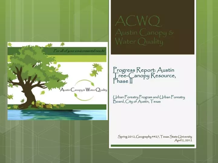
ACWQ Austin Canopy & Water Quality. Urban Forestry Program and Urban Forestry Board, City of Austin, Texas. Progress Report: Austin Tree-Canopy Resource, Phase II. Spring 2012, Geography 4427, Texas State University April 2, 2012. Team Members. Eli Pruitt GIS Analyst, Editor, &Webmaster.

E N D
ACWQAustin Canopy & Water Quality Urban Forestry Program and Urban Forestry Board, City of Austin, Texas Progress Report: Austin Tree-Canopy Resource, Phase II Spring 2012, Geography 4427, Texas State University April 2, 2012
Team Members • Eli Pruitt • GIS Analyst, Editor, &Webmaster • Ashley Zavala • Project Manager, GIS Analyst, and &Webmaster • Lowell Hughes • GIS Analyst and Remote Sensing Analyst
Purpose Statement To update the City of Austin Urban Forestry Program on the progress of Austin Canopy and Water Quality towards the completion of the Austin Tree-Canopy Resource, Phase II Project.
Background The City of Austin’s Urban Forestry Program approached ACWQ seeking information about the relationship between tree canopy and the water quality of creeks within the greater Austin area.
Project Description • The objective of ACWQ is to determine the percentage of tree canopy coverage within the stream reach buffers. • Create a tool • Time permitting, clip datasets
Work Completed • Initial Research • Table 1 • Distribution of tree canopy coverage • We have determined stream flow direction • We have established a website template
Data Table Table 1. Data sets and their source
Stream Flow Direction Model Table 2. Stream Flow Direction Model
Buffered Canopy Model Table 3. Buffered Canopy Model
Work in Progress • Locating datasets • Develop a stream network • Organizing water quality data • Reviewing USGS National Hydrography Dataset • Website development
Problems • Locating datasets • Stream Network • Stream- unique identifying feature • Stream Buffer extent • How far upstream • USGS sampling sites or COA sampling sites provided
Work To Be Completed • Locating datasets • Develop a stream network • Organizing water quality data • Reviewing USGS National Hydrography Dataset • Complete the website • Delineate sub-watersheds • Clip all datasets • Revisit research-isolate a connection between tree/tree canopy and water quality • Complete all final deliverables
Summary Overall the progress of the team has slowed as further clarification is needed on several issues. Once feedback is provided, the team is confident that we will be able to move forward and complete the project by the May 4th deadline.