Flood Mapping Workshop Dublin - Preliminary Flood Risk Assessment
230 likes | 246 Views
Join us for the Flood Mapping Workshop in Dublin to learn about flood risk assessment methodologies, historical floods, and mapping techniques. Explore the Czech Republic's situation and gain valuable insights for flood management.

Flood Mapping Workshop Dublin - Preliminary Flood Risk Assessment
E N D
Presentation Transcript
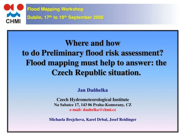
Flood Mapping Workshop Dublin, 17th to 19th September 2008 Where and how to do Preliminary flood risk assessment? Flood mapping must help to answer: the Czech Republic situation. Jan Daňhelka Czech Hydrometeorological Institute Na Sabatce 17, 143 06 Praha-Komorany, CZ e-mail: danhelka@chmi.cz Michaela Brejchova, Karel Drbal, Josef Reidinger
OUTLINE • What has been done already in the CZ • Historical floods • What is a significant risk? • What is extreme flood? • Some other issues of risk evaluation • Reporting
Introduction • Floods - the most important natural risk in the CZ • heavy precipitation • snow melting • flash floods • CZ • area of 78 864 km2 • 76 000 km of streams • 9 252 km of remarkable streams • Water Act of the Czech Republic 254/2001Sb
Introduction FRD demands? PFRA outputs = maps and other information
Existing data and information • Inundation areas • Q5 • Q20 • Q100 • active inundation • River basin management plan of the Czech Republic • (May 2007) • preventive measures to reduce damage by flooding • Chapter D of River Basin District Plans
Existing data and information • Flood hazard and flood risk assessment methodology (Drbal et al., 2005) • Project on further improvement of methods of flood risk and flood damages estimation including implementation of FRD. • Information System Flood Resident (ISFR) • number of residents aggrieved by Q100, Q20 PFRA - flood with high probability = Q20 - flood with medium probability = Q100 - flood with low probability = ?
Historical Floods • Pre-instrumental period (before 1800) • chronicles • dates (August 1118, June 1432 etc.) • magnitude? (since the time of Noah) • inundation? (churches and streets that were flooded) • flood marks (very few)
Historical Floods • Instrumental period (1800 – 1980) • historical measurements • pictures, photographs • flood marks • reports
Historical Floods Is inundation the same? - Mapping of flood protection and terrain changes.
What is a significant risk? • No pan European criteria • How to set some threshold? • Potential damage (direct) • Affected residents – first approximation • other types of risks
What is a significant risk? • Czech Republic • Q100 • 90 381 buildings (88 000 used for living) • 157 000 households • 368 000 people (3,5 %) • 1 499 municipalities • 50 municipalities > 1 000 inhabitants • 395 municipalities > 100 inhabitants. • Olomouc - 35 624 • Brno - 17 199 • Prague - 14 935 • Uherske Hradiste - 14 578
What is an extreme flood? • FRD 2nd phase • Q500 ? • Probable maximum flood ? • Historical flood extent ? • Flood plain delimitation based on terrain or soil mapping ? • Hydraulic modeling • steady x unsteady flow • design hydrograph • confluences • Verification over historical floods…
Other applications based on flood risk? • Reinsurance brokers • Flood damage models • Flood extent • flood depth in selected profiles (above the bankfull) • interpolation along the stream • precision? - important are large cities (damages) only! • Intersect with insurance portfolio • Apply damage functions (curves) • Base for decision of billions of Euro business!
Reporting • PFRA outputs • Make available to GP • Make available to the Commission • CZ view • Use existing databases and information systems in the CZ • Reporting the work, not the full outputs
Reporting Common water management information portal http://www.voda.gov.cz
Reporting Flood information system POVIS http://www.povis.cz
Conclusion • So, how flood mapping should support PFRA? • use existing maps (Q100, Q20) • help to define „significant risk“ threshold • mapping (localization) of flood protection measures • GIS procedures of flood plain delimitation? • verification of historical flood inundation data • Preparing the outputs of PFRA which in a fact areflood maps
Flood Mapping Workshop Dublin, 17th to 19th September 2008 THANK YOU FOR YOUR ATTENTION Jan Daňhelka Research activities of CHMI in the field of CC impact on hydrology Czech Hydrometeorological Institute Na Šabatce 17, 143 06 Praha-Komořany, CZ e-mail: danhelka@chmi.cz