Dynamic GIS-based Pavement Condition Tracking
160 likes | 402 Views
Dynamic GIS-based Pavement Condition Tracking. Pavement Management. BIG PICTURE Save time and money through more effective management of road assets. Enable graphical visualization and analysis of pavement conditions. Map your street system Keep inventory Track work histories

Dynamic GIS-based Pavement Condition Tracking
E N D
Presentation Transcript
Pavement Management BIG PICTURE • Save time and money through more effective management of road assets. • Enable graphical visualization and analysis of pavement conditions. • Map your street system • Keep inventory • Track work histories • Attach photos, plans, etc. • Create reports
Methodology • Many “Schools of Thought” in Pavement Inventory • “Do Nothing” Plan • Calculated Pavement Management Plan – “Do Something!” • PCI (Pavement Condition Index) • Grade represents a scale of current pavement condition • Usually rated as a percentage – 0 to 100
Excellent Good Fair Poor Failed Planning Road Treatments 100 $ $$$$ $$ Maintenance: Crack Sealing ($) Preventative Maintenance: Chip Sealing; Microsurfacing ($$) The cost to repair a roadway becomes greater with time. The rate of deterioration is exponential Rehabilitation: Overlays ($$$$) PCI Major Rehabilitation:: Mill and Overlay; Reconstruction ($$$$$$) 0 20 Years
Mountain Home– Case Study • Doesn’t want to implement additional systems or new software tools. • Integrate the street department’s information with the city’s GIS system. • Share with department heads and other departments city-wide. • ASTM International – PCI methodology • Steps for PCI Calculation: • Inventory Roads • Come up with raw deduct values • Determine final deduction value • Subtract from 100 to get final PCI
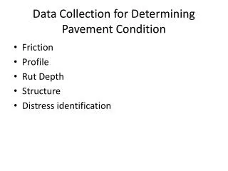
Inventory Roads • Measure road cracking in the field • Severity – High, Medium, Low • Extent – Percentage of sample that has covered in each type of distress
Calculate Raw Deduct Values • Use charts to find raw deduct values for each distress based on its extent and severity
The Process Update conditions in the field… …analyze and report the results in the office
GIS in Pavement Management Update Road Network Pavement Inventory GIS Road Improvements Recommended Treatments Planning and Budgeting
Q & A Ryan Cosby GIS Specialist Gateway Mapping, Inc. 250 S. Beechwood St. Suite 201 Boise, ID 83709 p: 208 376.7330 | c: 208 419.8567 |e: rcosby@jub.com THE J-U-B FAMILY OF COMPANIES: www.jub.com | www.gatewaymapping.com | www.langdongroupinc.com Gateway Mapping software and services: www.spatialgenerations.com | www.namesinstone.com | www.spatialim.com