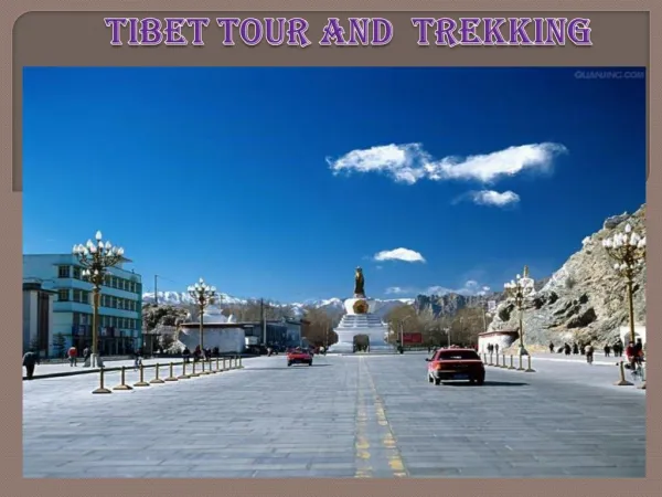

青藏之旅 TIBET
E N D
Presentation Transcript
TheRed Line is the route traveled from Xi-Ning, Qinghai to Mount Everest base-camp in Tibet 红线是路途的全程 从西宁开始 直到珠峰大本营
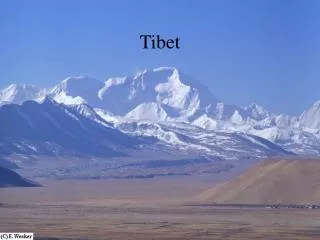
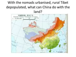
The Qinghai-Tibetan Plateau With its glacier-covered mountains seen here from the plane, it is often called the Roof of the World due to its high altitude (average 4,000 m or 12,000 ft.) 鸟瞰冰川纵横的青藏高原(平均海拔四千米 有世界屋脊之称)
The recently completed railroad into Tibet - over rough terrain 穿山越岭的青藏铁路
I chose a 4 wheel drive vehicle with a local driver 我们的座驾-越野车 rougher but better experience 驾车虽比坐飞机或火车辛苦 但给我留下回味无穷的经历
Much of my trip was driven on unpaved dirt roads 旅途中大部份时间都是在土路上行驶
Dirt roads are dusty 土路往往沙尘滚滚 you may wish for rain 下点雨就好了
which you may regret 结果下雨路更糟
Mountain roads are usually winding along hillsides 弯弯曲曲的山路绕着山边向前伸延
View while driving as if you were flying in mid air 天堑险路 Scary if you look down 胆小的不要往下看
Improvised traffic sign (reads “blow horn”) 最原始的交通标志
… the only way to cross the river is … 那…就祗能这样过河….
Even paved roads can be hazardous 新修的国道就一定安全吗?
You are sharing the road with everyone and everything 公路当然是公共的
including these pilgrims who prostrate themselves all the way to their sacred destinations 小心别撞到沿途叩拜的信徒
This vast grassland calledKekexillialong Kunlun Mountainis home to theseTibetan antelopesalmost poached to extinction for theirluxurious fur 昆仑山旁的可可西里大草原是藏羚羊出没的地方
My close encounter with aTibetan antelope 与我近距离的藏羚羊
Qinghai Lake – the largest lake in China 青海湖是中国最大的湖(水是咸的-我尝过)
Blossom along the shore of Qinghai Lake 青海湖畔盛开的油菜花
Tanggula Pass(altitude 5,200 m or 15,600 ft) at the border between Qinghai and Tibet 越过这唐古拉山口(海拔五千两百米)就从青海跨进了西藏
This is the land of big sky, mountains and lakes 这 里 天 宽 地 阔
Sometimes it is hard to tell where land ends and sky begins 天地合一的景象
Lake Nam Co(altitude 4,700 m or 14,100 ft) is the largest sacred lake in Tibet 纳木错湖(海拔四千七百米)是西藏最大的圣湖
Lake Yamzho Yumco(altitude 4,440 m or 13,320 ft) is another beautiful sacred lake 羊卓雍错湖(海拔四千四百米)是另外一个美丽的圣湖
A rare opportunity for me to swim at such altitude (Lake Yamzho Yumco) 我难得有机会畅游羊卓雍错湖
This part of the Himalayas looks like the rain forest 这里有点像热带雨林
Nyingchi areais particularly lush shown herealong Nyang River - a tributary of Yarlungzangbo 林芝地区(尼洋河畔-雅鲁藏布江的支流)号称西藏的江南
The mightyYarlungzangbo Rivernourishes the northern slope of the Himalayas 沿喜马拉雅山脉北麓的雅鲁藏布江
Yarlungzangbo Canyon(seen here from the plane), the deepest land canyon on earth, remains largely inaccessible. Through this canyon, the Yarlungzangbo River flows south to become the Bramaputra River in India 雅鲁藏布大峡谷是世界陆上最深的峡谷(要走进去谈何容易) 雅鲁藏布江水从这里向南流进印度
China’s mightyYangtze River originates from glacial melt similar to this one in the Qinghai – Tibetan Plateau 长江源于青海的冰川
So doesLancangRiver (the source of theMekong River) seen here flowing by the city of Qamdo 澜沧江源于青藏.它穿过昌都城向南流去成为了湄公河的上游
… andNu River(the source of theSalween Riverwhich empties into the Indian Ocean through Myanmar)seen here in eastern Tibet 怒江 也是源于青藏.它流经缅甸进入印度洋
Anxiously waiting for the heavy fog to clear at the Everest basecamp 在大本营耐心等待 难得一见的珠峰真面目
Mount Everest-local nameQumolangma Finally a clear view (summit altitude 8,848 m or 26,500 ft) 我终于看到了珠峰(峰顶海拔8,848米)
Just as exciting as the scenery are the culture and life of the people living there 以下介绍当地人民的文化,生活
Highland barley is the main crop grown here 当地主要种植的粮食是 青稞麦
Beautiful barley fields in Denqen, eastern Tibet 丁青县的麦田给人一种仙境般的感觉
August is harvest time Winter starts early in Tibet 八月是收割季节 这里冬季漫长
Nomad’s tent (this one woven with yak fur) and his dog (Tibetan Mastiff ) 牧民的 耗牛毛藏包(相当保暖)和藏獒(非常忠心,凶猛)
Some go solar 野外的太阳能电源
Yaks are the only beasts of burden which can tolerate the high altitude and freezing weather 耗牛是唯一能在这低氧,低温环境下生存的劳动力
White yak is a symbol of luck 白耗牛是吉祥的象征