Mastering Tables in ArcMap: Efficient Techniques for Data Management
Learn how to work with tables in ArcMap, from opening and rearranging columns to freezing, sorting, and editing attributes. Discover advanced functionalities like field calculations and exporting data.


Mastering Tables in ArcMap: Efficient Techniques for Data Management
E N D
Presentation Transcript
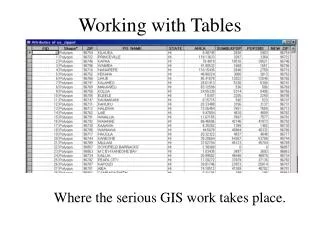
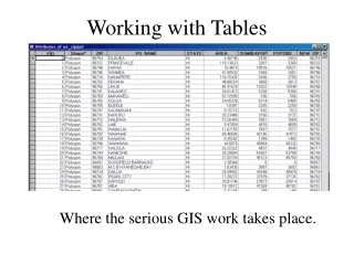
How to Open a Layers Table • Right Click the Layer • Select Open Attribute Table
Add New Data • Load data just as you would any other data. • Where did it go? • You need to click the Source Tab to see it. CLICK
Resize Columns in the Table • Hold your cursor over the column edge. • Click and drag to the desired width. • Release your mouse. • The column is now resized.
Rearrange Columns in the Table • Click on column to highlight it. • Click a second time and hold. • Drag the columns heading. • You will see a red line that indicates where the column will go. • Release your mouse button.
Freeze A Column • You can freeze a column so it stays in view when you scroll. • Right click the column heading and choose Freeze/ Unfreeze. • Undo the freeze by the same process.
Sort and Statistics • Right click on a column to get a menu. • Sort Ascending will sort the table based on the ascending order of the columns data. • Sort Descending will sort the table based on the descending order of the columns data. • Statistics will show the statistics of the selected records.
Selecting Records • Interactively Select records by holding down the Ctrl button and clicking. • There are several other selection options, click the Option drop down box. • You can Select All. • You can Switch the Selection. • You can Clear the Selection. • You can also Select by Attributes. CLICK
Selecting By Attributes • You can use the query builder to create expressions that can select out exactly what you need. • Ex. Get all the parcels with a Total Market Value Greater then $1,000,000. Result: 675 records meet the criteria. • Expressions can be saved and reused.
Export Table • You can export the selected records or all of the records in your table to a new dBase, INFO, or geodatabase table. • Select Options then Exports. • Select the Path and Save.
Add or Delete Field • You can not be in an edit session. • Click Options in the table you want to add a field to. • Click Add Field. • Type a name for the field. • Click the Type dropdown arrow and click the field type. • To Delete, Right click the field and choose Delete.
Edit/Delete Attributes • First Start Editing. • Click the cell containing the attribute value you want to change. • Type the values and press Enter. • Delete Attributes by first selecting the records you want to delete. • Press your delete key.
Calculate a Field • The Field calculator lets you perform simple as well as advanced calculations on any selected record or group of selected records. • First start an edit session. • Select the records you want to edit. • Right Click the field, choose calculate values. • After finished editing, choose save edits and stop editing.
Advanced Field Calculations • Check the Advanced box. • Click the Load button. • You can load saved expressions which are saved as .cal files. • A good source is Easy Calculate. http://www.ian-ko.com • Click the OK button. • The calculation is performed. CLICK CLICK
More Info • Check out the GIS Documentation on the GIS intranet site. • http://gis/help • Using ArcMap p.314 - 325